Jacob's Ladder and Downhill

Beez Neez now Chy Whella
Big Bear and Pepe Millard
Fri 14 Feb 2020 23:47
|
Jacob's Ladder and Downhill
 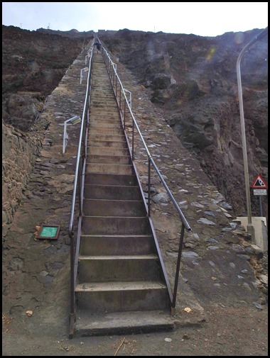 Jacob’s Ladder
from the top and later from the bottom.
The first route from the valley
floor direct to Signal House was a rope ladder, which soldiers would climb to
travel to and fro the barracks at the top. The rope ladder was replaced in
1829 by steps leading to the top. The ‘inclined plane’ followed – for hauling
initially manure and later goods on rails using pulleys. The “Ladder Hill
Railway” commissioned by Governor Dallas, and built by George W. Melliss, was in
service from 1831/2 and was particularly useful for carrying the large
quantities of manure which accumulated in stables, stockyards, etc. out of
Jamestown for the use of inland farmers. This was the main objective in having
it constructed.
When the next Governor arrived,
he changed all this, ordered manure to be dumped in the sea and the inclined
Plane was abandoned. In 1863 an attempt was made by another Governor to get the
tramway working again. He strongly recommended the immediate restoration of this
tramway by the War Department. This does not seem to have happened and much of
it was destroyed by fire in 1867. By 1871 it had further deteriorated. J.C
Melliss, son of the G.W. Melliss who built the Ladder writes: It is very
greatly regretted that the whole construction had fallen into disuse and bad
repair, the woodwork being eaten by white ants, indeed it is said that these
insects visited Ladder Hill through the medium of its longitudinal wooden
sleepers. Having fallen into disuse the railway was dismantled by the Royal
Engineers in 1871
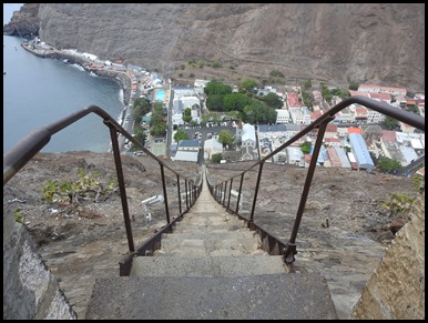
When the Inclined Plane was
broken up, the steps remained and today it is either a short way up or down the
valley, an exhilarating climb, or 699 steps of torment, depending on your point
of view and level of fitness. We met a chap who was born here but now lives
and works in Swindon who remembers sliding down the Ladder as a youth. Somehow
he never got injured doing it.
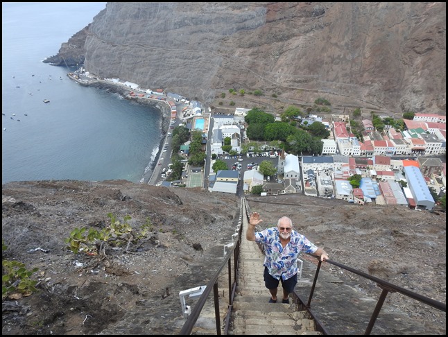 Bear several steps down. Let go and
wave with both hands. Oooooo no, this is very
vertiginous feeling......
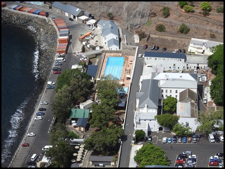 The swimming
pool.
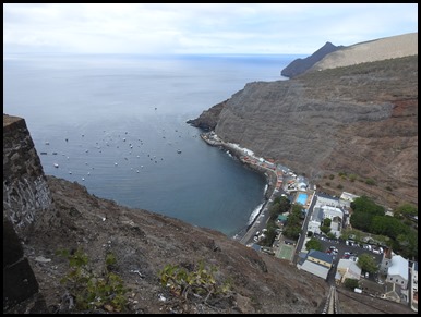  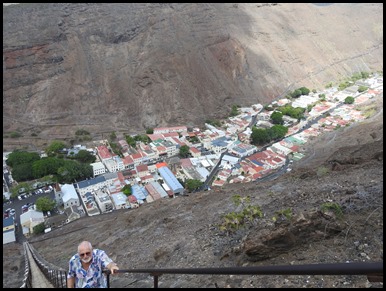 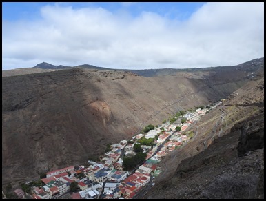 The views going
from the sea to the end of the valley.
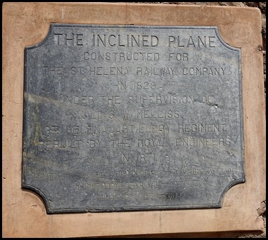 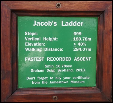 The first
plaque reads: The Inclined Plane constructed for the St Helena
Railway Company in 1829 under the supervision of Lt. G.W.Melliss, St Helena
Artillery Regiment. Rebuilt by the Royal Engineers in 1871. Length 924 feet.
Rise of steps – 11 inches average. Height above sea level – 602 feet.
Number of steps - 699. The second plaque is of an
awesome achievement. We chatted to some workmen, one of whom was leaving to work
at Dartmouth come April. A very small world as we have met several who either
came from Plymouth or are returning.
 We bimbled over to the viewing
platform to the right of Jacob’s Ladder and read the information board.
 The Wreck of SS Papanui:
The Papanui was en route from London bound for Freemantle in Western
Australia, carrying 376 passengers and 108 crew. The ship had already passed St
Helena before turning back to arrive on the 11th of September with coal in her
bunkers on fire. There was a series of explosions in the coal bunkers and the
vessel was beached, gutted and abandoned with all cargo reported as being lost.
The fire burned for another five days before the ship sank in James Bay. The
passengers were landed and the men were housed at Ladder Hill Barracks while the
women were taken to the military hospital. You can see the mast protruding
through the surface in James Bay.
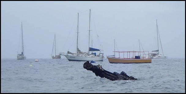 We have indeed seen what is left of
the top of the mast from the water taxi at low
tide.
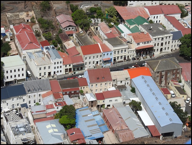 A zoomed in shot
of Main Street. The information boards reads: Jamestown, the capital
of St Helena, was founded in 1659, when the English East India Company built a
fort and established a garrison at the site on James Bay, naming it after James
II. This Georgian seaport consisted of little more than a single street
stretching for a mile inland nestling in a deep-sided volcanic valley and rising
to a height of 500 feet (150m). It retains a remarkable heritage: the town’s
streets echo richly with impressions recalling the past – Napoleon walked this
way, as did the Duke of Wellington, Captain Bligh, Edmund Halley, Charles Darwin
and Captain Cook.
Visitors to the island land at
the wharf (nowadays by plane on to the runway, the passenger ship
no longer runs), pass the 17th century ‘glacis’ (defence ramparts) and
through the town gate to the Grand Parade in Main Street. Along the entire route
almost every building is listed because of its historic importance. Main Street
is described as one of the best examples of unspoilt Georgian architecture
anywhere in the world.
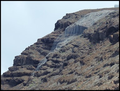 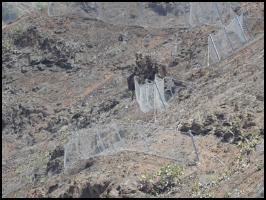 Way over to our right we could see
the new safety nets in place. First thing this
morning, as we sat and waited for our hire car to be delivered, we met five
French workmen. They work on the cliffs from nine until three when the road up
and down is closed and will be for another five weeks. Locals have to drive an
extra ten kilometres if they need to nip down to Jamestown using the next road
over. We could also see the current rock fall nets.
The last time there was a serious fall twelve people were sadly
killed.
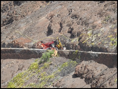 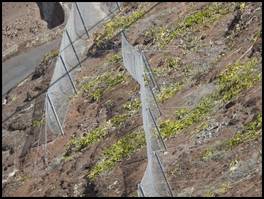 Workmen still at
it and a closer look at the rock fall
nets.
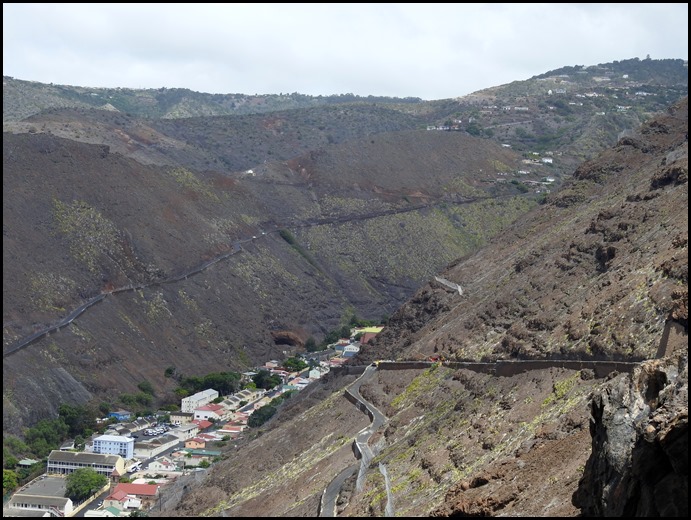 Indeed, the road from here looks like an impressive
zig-zag.
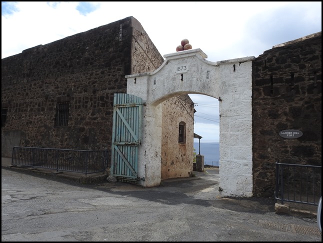 Next, we bimbled over to the main gate of Ladder Hill Fort. As the gate arch says 1873.
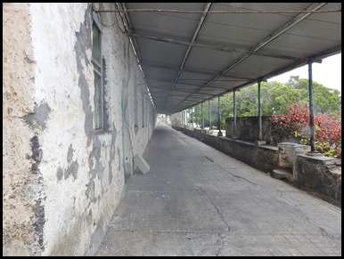 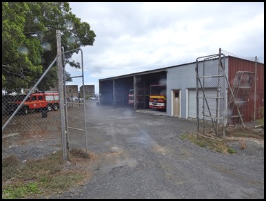 To our left the
barracks, to our right the Emergency Services
vehicles.
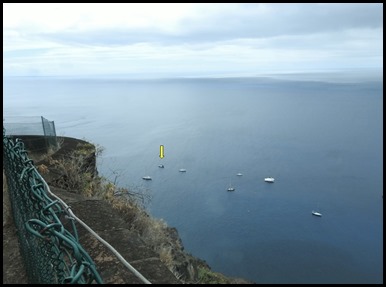 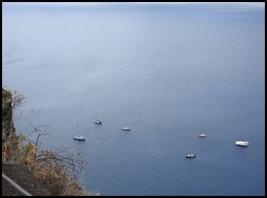 We bimbled down to the cliff edge to
look down on Beez Neez, as I began to zoom in........
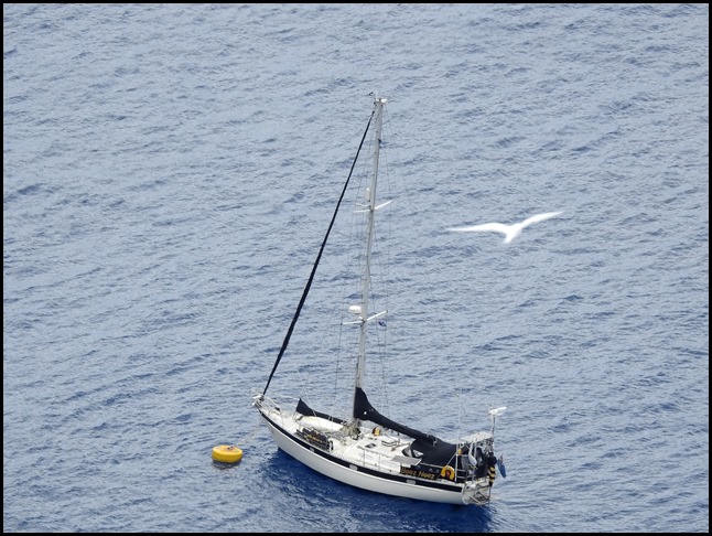 ........I was photo-bombed by a fairy tern.
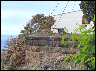 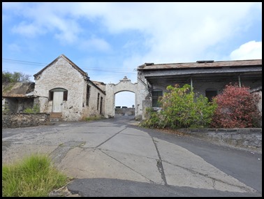 We about faced and to our left, the signal gun, now in a private garden. We began to bimble back toward the main gate.
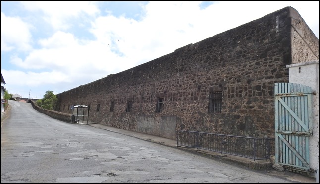 Ladder Hill Fort
seen from the car. Too early to use the hill
back to Jamestown, we went in search of a snack and a cup of tea at
Joshie’s.
  We realised we
could see more of the fort from Beez, so the following day I added these
pictures.
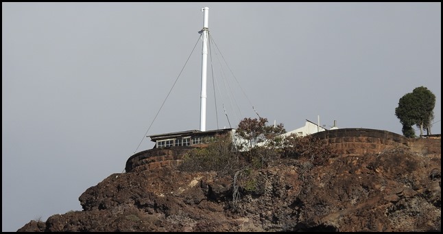 The Signal
Post.
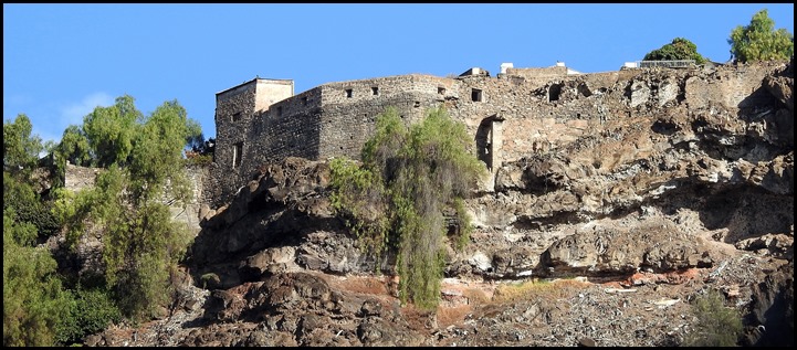 Ladder Hill Fort with lookout posts.
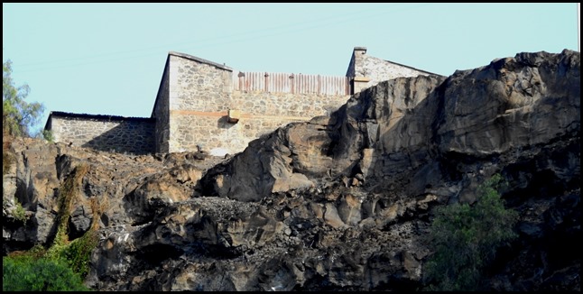 Storage
buildings.
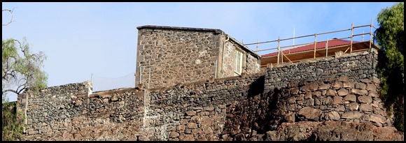 Perhaps an officer’s
house ???
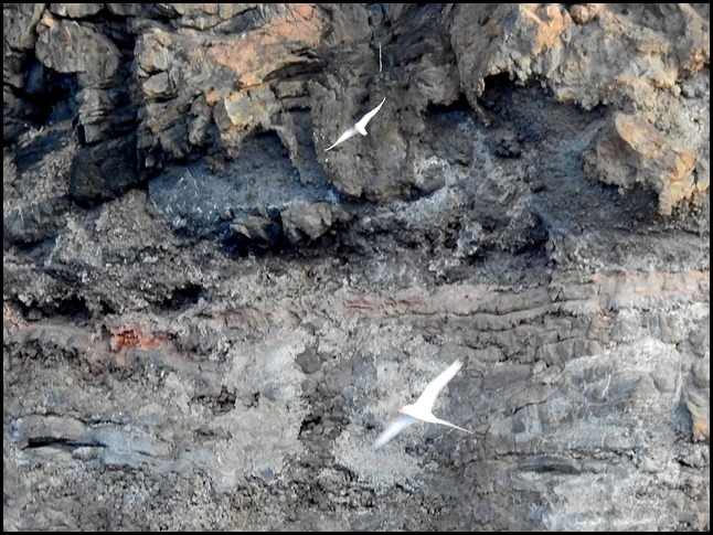 A pair of the dozens of tropicbirds who soar and screech during the
day.
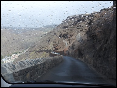 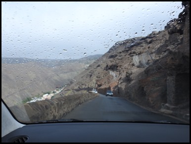 Just after three we began the drive down.
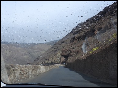 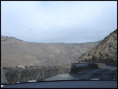 We only had to
stop a couple of times and everyone was very tolerant.
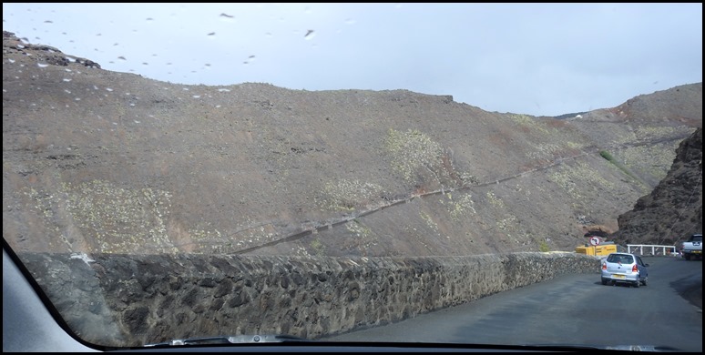 Such incredibly
barren scenery, reminds us of Saba Island in the Caribbean.
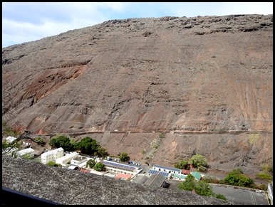 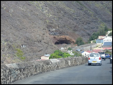 Nearly
down, we could now see the cave that furnished
the rocks to build The Run drainage system in the town.
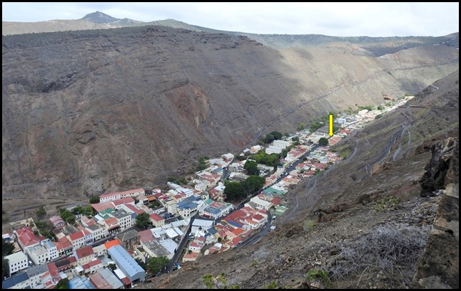 We headed to Immigration, behind the tree, up the hill from town. There
we handed over twenty pounds each because we have stayed longer than seventy-two
hours. From there to Customs and Port Authority who needed thirty-five pounds
fee and two pounds a day for the mooring buoy. All three offices done and dusted
in fifteen minutes flat. We put the petrol needed into the hire car, picked up
Beez alternator from Lionel who always go to the pub in town every Friday from
four until six. Bought some sliced brown bread, carrots and a couple more tins
of baked beans. Bear dropped me and all our ‘stuff’ off at Anne’s Place and went
to park the car as arranged down by the sea front. Keys tucked up by the
sunshade. Then he met me for our Valentine’s date night.
ALL IN ALL CERTAINLY
STEEP
MOST VERTIGINOUS STEPS I HAVE EVER SEEN IN MY
LIFE |