To Katherine Bay

Beez Neez now Chy Whella
Big Bear and Pepe Millard
Wed 1 Jul 2015 22:47
|
To Katherine Bay, Rabi Island,
Fiji 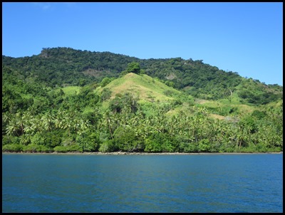 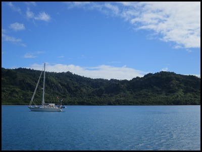 We got up this morning to a beautiful
sunny day with blue skies. To our left we saw the lush greens on the shore of Buca Bay, to our right Scott-Free awaits the days journey to Katherine
Bay - fourteen miles away, anchors up at ten.
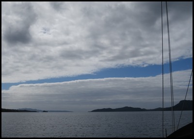 Outbound between the
islands.
 We were really sheltered as we motor sailed
past Kioa Island in sixty metres of water but the wind
across the Somosomo Straight stirred the sea a bit behind the visible reef and it bounced a bit over the
much shallower water. [Taveuni Island seen in the
background].
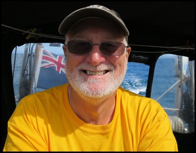 As always we enjoyed ourselves, skipper at the
wheel, me sewing the sleeves into my now finished
jacket.
 Looking toward Katherine Bay we did question just how sheltered it could
be.
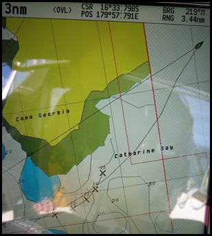 The funny part was changing from east to west and waiting for the chart detail
to catch us up – and our chart spells it Catherine Bay.
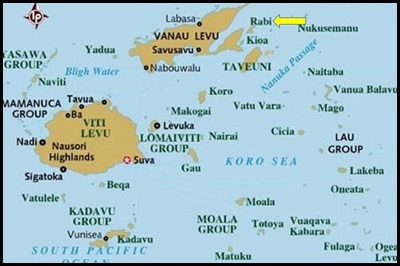 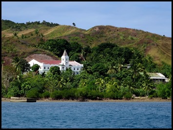 Rabi Island at
the top of Fiji and as we passed we could see the white building was indeed a
big church.
Rabi - pronounced Rambi is a volcanic island, in the Vanua Levu Group. It covers an area of sixty six and a bit square kilometres, reaching a maximum altitude of 463 meters and has a shoreline of 46.2 kilometres. With a population of around 5,000, Rabi is home to the Banabans who are the indigenous landowners of Banaba Island, sometimes known as Ocean Island in Kiribati. The indigenous Fijian community that formerly lived on Rabi was moved to Taveuni after the island was purchased by the Banabans. 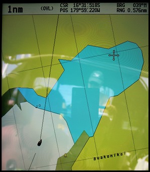 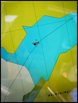 The
chart plotter caught up and we spuddled
on.
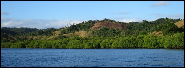 Into the mangrove edged and
sheltered bay.
ALL IN ALL LOOKING FORWARD TO
EXPLORING
LUNCH THEN A BIMBLE
|