Franz Josef Glacier

|
The Franz Josef
Glacier
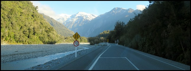 After a slack morning, it was time to
go and be ‘tourists’ and perform our daily tramp. Just over the bridge we turned
left and followed the River Waiau or Waiho ??? The
Māori named it Waiau – Waiho is actually a spelling mistake made by an early
surveyor.
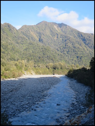  It is hard to picture anything but
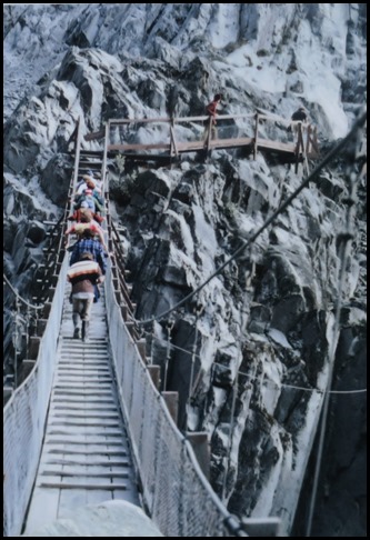
the tranquil scene beside us, but in 1990 the river washed away this footbridge some twenty
feet above. Waiau means smoky water, for the
mists that rise off it. But it is ice, not fire behind this smoke. The frigid
water issuing from the Franz Josef Glacier meets warm, moist air as it flows
down the valley, causing fog, or our haze, to form above the water. The murky
grey colour of the water is caused by ‘rock flour’ – fine particles ground away
by the glacier as it flows. We may have seen the river
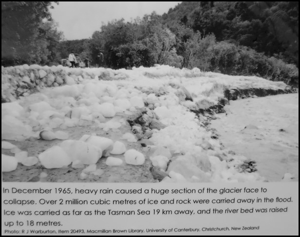
very placid today, but it is prone to ice collapse as well as dramatic floods.
The glacier face can release huge quantities of ice, rock and water into the
river at one time. Flooding shapes the character of the river
bed.
   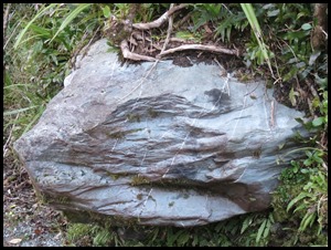 Mabel parked, we
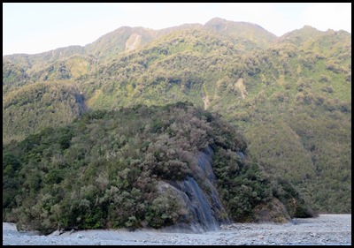
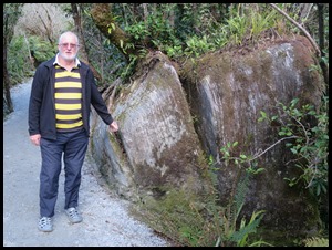
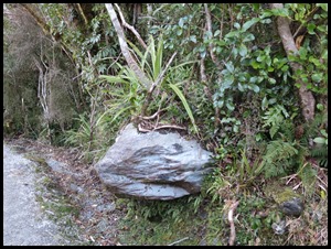
followed the track, some very impressive rocks to admire. Bear pointed out a split rock showing so many very thin layers and we were
surprised to see one not only well fixed in the
‘wall’, but as we got closer it seemed to glow an
iridescent blue.
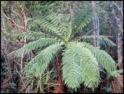 Of course we cannot pass a fern, no matter how attractive without giggling as we
think about Charles Darwin and his dislike of them.
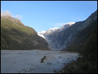 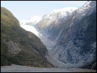 The Franz Josef Glacier (Kā Roimata o Hinehukatere in
Māori)
is located in Westland Tai Poutini National
Park
on the West Coast of New
Zealand's
South
Island.
Together with the Fox
Glacier
twelve miles to the south, it is unique in descending from the Southern
Alps to less than nine hundred and eighty feet above sea
level, amidst the greenery and lushness of a temperate rainforest.
The area surrounding the two glaciers
is part of Te
Wahipounamu, a
World Heritage
Site park.
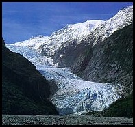
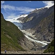
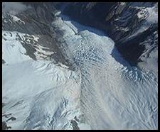
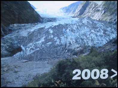
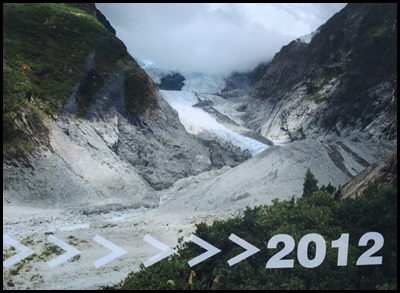
2001, 2011 and aerial views – thank you Wiki. Naming:
The first European description of one of the west-coast glaciers (believed to be
Franz Josef) was made from the steam ship Mary Louisa in 1859.
The
Māori name for the glacier means 'The tears of Hinehukatere', arising from a
local legend: Hinehukatere loved climbing in the mountains and persuaded her
lover, Wawe, to climb with her. Wawe was a less experienced climber than
Hinehukatere but loved to accompany her until an avalanche
swept Wawe from the peaks to his death. Hinehukatere was broken hearted and her
many, many tears flowed down the mountain and froze to form the
glacier.
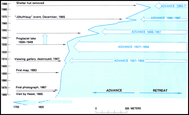
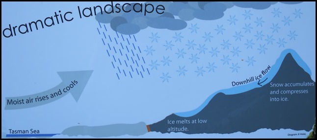
An interesting pictogram showing the glacier movement.
Advance and Retreat: The glacier is currently seven and a half miles long and terminates twelve miles from the Tasman Sea. Fed by a seven point seven square mile large snowfield at high altitude, it exhibits a cyclic pattern of advance and retreat, driven by differences between the volume of meltwater at the foot of the glacier and volume of snowfall feeding the névé. Having retreated a few miles between the 1940’s and 1980’s, the glacier entered an advancing phase in 1984 and at times has advanced at the phenomenal (by glacial standards) rate of twenty seven and a half inches a day. The flow rate is about ten times that of typical glaciers. Over the longer term, the glacier has retreated since the last ice age, and it is believed that it extended into the sea some 10,000 to 15,000 years ago.
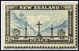
This cyclic behaviour is well illustrated by a postage stamp issued in 1946, depicting the view from St James Anglican Church. The church was built in 1931, with a panoramic altar window to take advantage of its location. By 1954, the glacier had disappeared from view from the church, but it reappeared in 1997. This is due to the highly variable conditions on the snowfield, which take around 5–6 years before they result in changes in the terminus location. The glacier was still advancing until 2008, but since then it has entered a very rapid phase of retreat. As is the case for most other New Zealand glaciers which are mainly found on the eastern side of the Southern Alps, the shrinking process is attributed to global warming. Bear has a theory about cyclic behaviour, Greenland used to be covered in trees, it could go back to that one day..........complete with Viking farmers. Yes Dear. There have been some incidents of jökulhlaups (outbreak floods from water-filled ice tunnels) at the glacier, with one destroying the bridge as mentioned above. Based on past variations, scientists expect that Franz Josef Glacier will retreat three miles and lose 38% of its mass by 2100 in a mid-range scenario of warming. The Viking farmers are rubbing their mitts together in anticipation. Fool, they’ll have to build their longboats first, with some fairly hefty oars. Yes Dear.
Glaciers shape mountains and valleys.
Flowing glacial ice scours the valley, breaking off large boulders and grinding smaller rocks to dust. At the terminal face, meltwater is milky with rock dust, and countless boulders skitter off the ice, to be carried downstream by floodwaters.
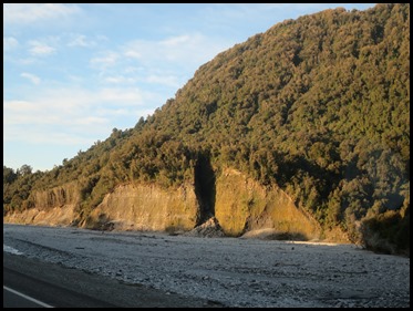
The massive rock on the left has one shiny face that looks upstream. The valley wall cut as if by a knife.
Tourism: The glacier area is one of the main tourist attractions of the West Coast, with around 250,000 visitors a year, and up to 2,700 per day (2007). Guided and unguided walks up to and onto the glacier are possible. However, since April 2012 all glacier walks require a helicopter flight past the unstable terminal face. 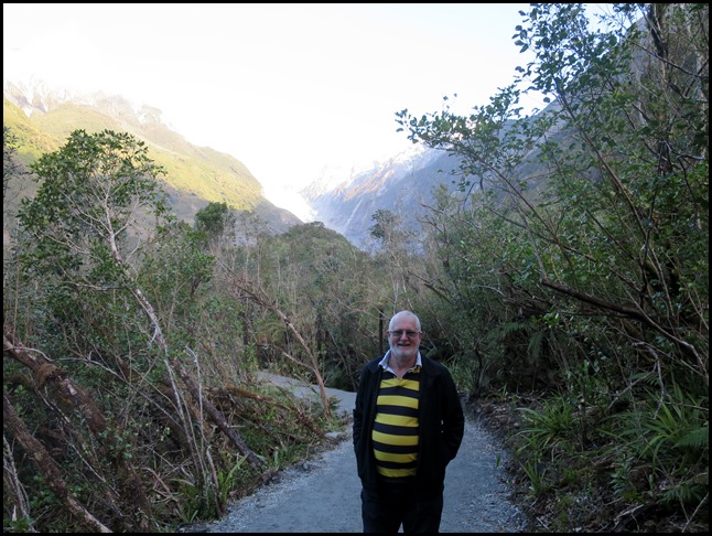 Almost under Bears feet lies a great crack in the earth – the Alpine
Fault. Along this crack, two plates of the earth’s crust collide and slip past
one another. This collision pushes up the Southern Alps / Kā Tiritiri o te Moana
ten to twenty millimetres every year. The height and location of the Alps is
perfect for glacier formation. We are amazed that in the area there are actually
over three thousand glaciers, we have only visited the two most famous. The only reason that the mountains stay at a reasonably
constant height is the fact that millions of tons of rock are washed down the
glacial fields toward the sea every year. We have seen so many excavators and
diggers hard at work shifting rocks and boulders out of the river beds.
if I see you type any more to this blog you’ll
be writing the next one......... Oh
dear.
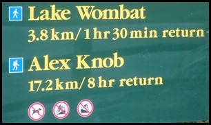 On the left as we drove back down the
road we saw a sign for Alex Knob, would love to have
walked there but that is way out of our tramping target. Sorry
Al. Meantime we say farewell to the Franz
Josef Glacier.
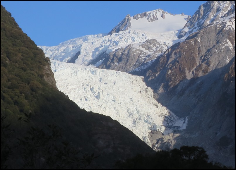 ALL IN ALL VERY PLEASED TO
HAVE VISITED
SIMILAR TO FOX IN MANY
WAYS |
