To Manapouri

|
To
Manapouri
 OK, so we are
driving along a road which could go on to infinity when the Wicked Witch
suddenly told Bear to “turn left.” Well, dear reader, the world turned blue with
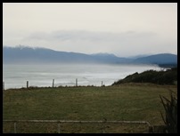
the language. There is only sea, only sea I say, on the
left for as far as the eye can see, what does SHE expect me to
do.................. I have jumped forward. I’ll come back to
this.
 We said ‘farewell’ to Invercargill
and headed out on an exceptionally grey, wet day. We went over Jacob’s River
Estuary xx xx at Riverton, saw the fishing boats,
mostly in today quite sensibly. Riverton is the oldest settlement in Southland,
Europeans came here one hundred and seventy eight years ago. Fishing, farming
and sawmilling are the local industries. In the summer it is popular with
surfers and swimmers.
   We passed through a couple of little villages.
 Tihaka Lookout. The sign said: Looking
out over Fovreaux Strait, from left to right, Stewart Island / Rakiura, Centre
Island / Rarotoka, Colac Bay / Okara. On the right is the gently rolling
Longwood Range clothed in approximately sixty thousand acres of native bush. It
was on this range that a nugget of gold was found weighing thirty six ounces. In
the background are the Takitimu Mountains. Early Māori were first drawn
to this area because of the argillite rock
from which they manufactured tools. Collections of these tools can be seen at
the Riverton Museum. Analysis of midden indicates seasonal occupation from
around 1270 AD to the early 1400’s.
 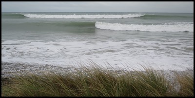 The waves as we
neared Colac Bay were small but in big winds we
guess would come up over the road.
 No sooner than we
had thought about the waves than we were skirting around an area where sea defences are needed.
 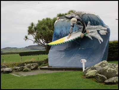 Bear loved this busy barn. Then a
random surfer statue.
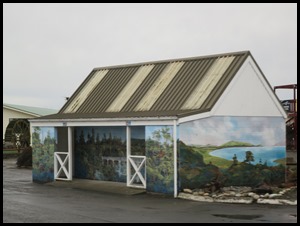
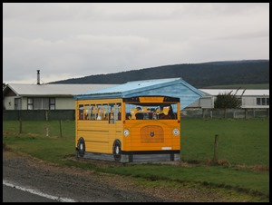  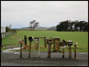 Loved the Simpsons bus stop. Only saw a couple of tired looking holiday homes but there was a gaggle of post boxes.
 We followed the
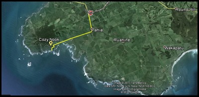
signs for Cosy Nook and read: On a clear day it is
possible to see the larger of the Solander Islands on the south-west horizon.
The islands were named on the 11th of March 1770 by Captain James Cook as he
explored these waters on HMS Endeavour. Daniel Carl Solander 1733-82
was a distinguished Swedish botanist who, as assistant to Joseph Banks, sailed
with Cook on his first great voyage of discovery to the Pacific Ocean. Not clear
today so no Solander.
 Clearly the locals agree that a sea wall is necessary at Colac
Bay.
 The true name of this cove is Mullet
Bay. Now a cosy place with a few holiday
batches or cribs or shacks, it used to be a safe haven for fishing
boats.
The place was named by Captain George Thomson, the Bluff Harbourmaster, after his homeland Scottish village Cozy Neuk. Near here during the 1820’s was a thriving Māori village of around forty to fifty whare – houses. This bay was not suitable for the Māori to launch their waka – canoes but ideal sandy beaches were nearby. During the tribal hostilities between Ngai Tahu and Ngatimamoe in the 1700’s, the fortified pa on Matariki Island – the largest offshore island, was a place of refuge. Later, the chief of the settlement was Pahi – hence the name Pahia. John Boultbee – an educated sealer, recorded that Pahi and about forty of his tribe drowned when their waka sank on the way back from the Muttonbird Islands in the mid-1820’s.
As we followed the single track, on the left Bear liked the name on the toilet door. ‘The Long Drop’. We then drove past the tiny holiday homes and saw Snipe, a hardy little thing to be taking on the waters here.
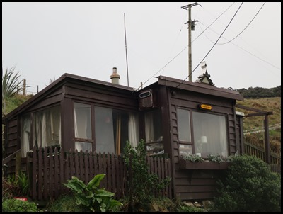
This little home is called Polyfilla Villa.
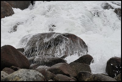
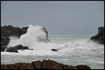
We sat for ages watching the waves pound.
Back the way we came to rejoin the main road.
On a day like today the Southern Scenic Route can only be guessed at.
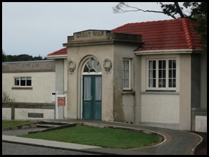
Our next village had a great bus stop, the library was the Great War Memorial and there was a museum to the early sawmilling days. 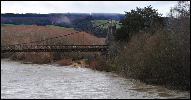 Back out into the country. The old
railway bridge beside us was believe it not called – The
Clifton Suspension Bridge........
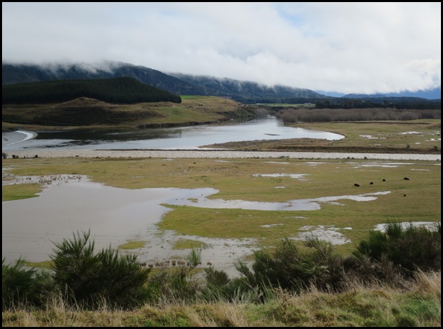 A great wet
valley.
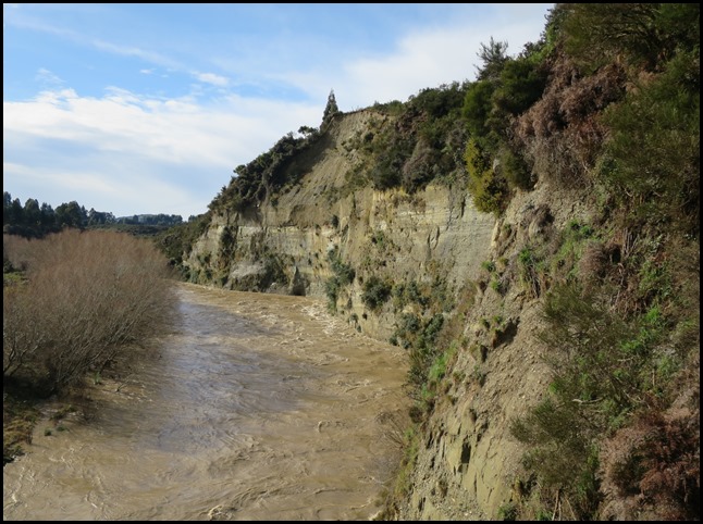 Over the Mararoa
River, featured in LOTR, perhaps with blue water ???
  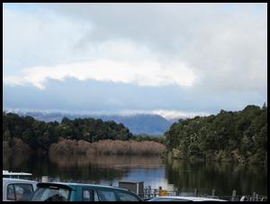 Manapouri
had a wonderful sign next to the lake. Few houses and great views. Soon settle
in our OCO campsite.
ALL IN ALL THINGS ARE FRAGILE WITH THE WICKED WITCH HAD THE WINDOW HAVE BEEN OPEN.............. |


