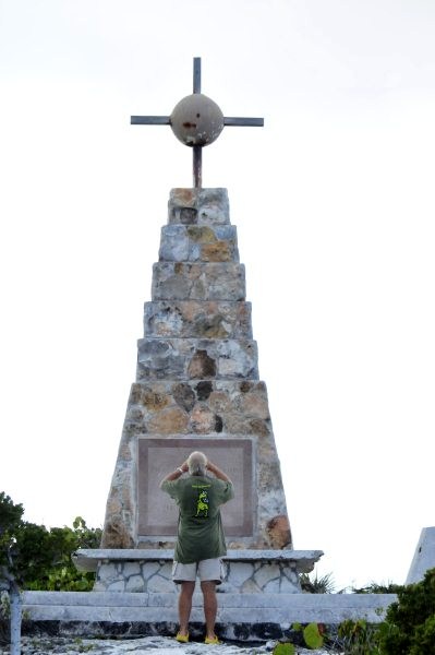
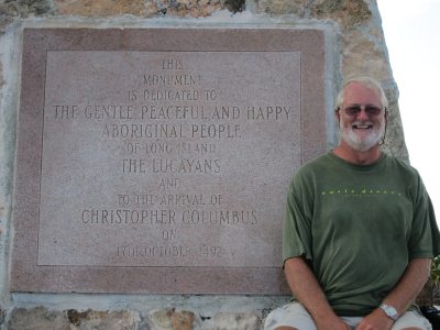
Columbus Monument
Beez Neez now Chy Whella
Big Bear and Pepe Millard
Wed 30 Mar 2011 21:07
|
The Columbus Monument, Cape
Santa Maria, Long Island
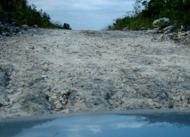   After lunch at Cape Stella Maris, we
decided to find the monument to Columbus. On our map it said it was a rough
road. No mistake there, the car has since developed a groaning and clanking
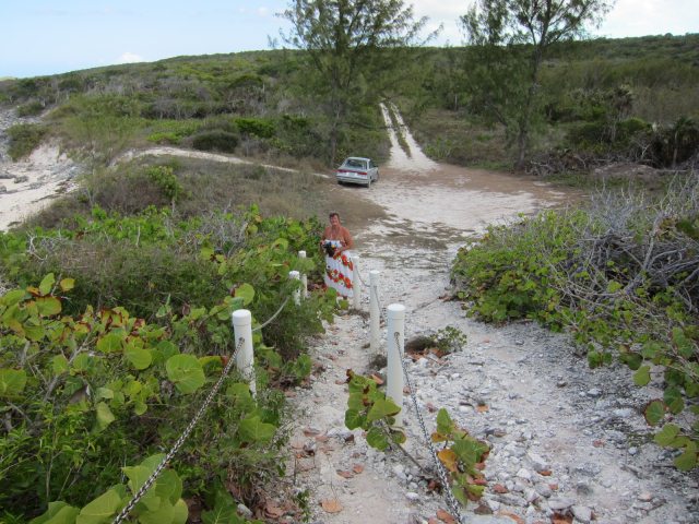
noise. Four miles and twenty minutes of kidney wobbling later, we parked the car and wandered up the buoyed rocky track.
Someone with a sense of humour built the monument where it is, there is probably
a counter hidden somewhere to see how many intrepid nutters actually get
here.
   .
Way back in 1882, Gustavus V. Fox,
former Under Secretary of the Navy, shook up conventional thought by proposing
that Columbus actually made landfall at tiny, reef dash shrouded Samana Cay. (I
must just put in, that these snippets are normally dictated to me by Big Bear,
his task is to speak clearly and slowly, while I type. He also has to spell for
me any difficult words, capital letters and punctuations as they occur. He just
said reef dash shrouded and it wasn't until I typed the final d that I twigged
the word dash should have been a - , now wet eyed as I admitted this faux pas)
OK back to it. Instead of San Salvador, sixty five miles to the northwest. Just
two years later, James B. Murdoch countered this theory by casting doubt on a
few of the points Fox guessed at to make his Samana premise work. In 1942,
Admiral Samuel Eliot Morrison, a Columbus scholar and nautical expert, weighed
in favouring San Salvador. Not until 1986, did National Geographic's senior
associate editor Joseph Judge revive Fox's original theory. This time around,
National Geographic researchers took advantage of technology, predicting the
route of the three thousand dash mile,
thirty three dash day voyage using computer
models which took ocean currents into account. According to Judge (capital J comma) Columbus (capital C) landed on San Salvador "only if he had
sailed in a nearly straight line........Steering by compass alone, this is a
physical impossibility, unless the ocean froze solid and rail-road tracks were
laid on its surface."
On the other hand, if you've ever
talked to anyone with any local knowledge of navigating the waters around
Samana, or even experienced for yourself, you've probably wondered where
Columbus anchored his 15th Century cruiser. Certainly a caravel wouldn't be able
to tiptoe through the coral to lie in Columbus Bay. Even today, most charts and
guides discourage the journey to Samana because it's such a treacherous
spot.
Other lesser-known theories hold up
nine different islands ranging from Egg Island to the Virgin Islands as
Columbus' actual arrival point.
Whether you subscribe to the frozen
ocean theory, the traditional stance or Egg Island as the first stop in the New
World, one thing is certain: If good ol' Chris had had a GPS back in the days of
his historic voyage, we'd know exactly where the Cross Monument is supposed to
be !!!!! ...........but anyway he had set out to find China................ did
he fail his GCSE Geography O'level or was he simply a complete
berk.
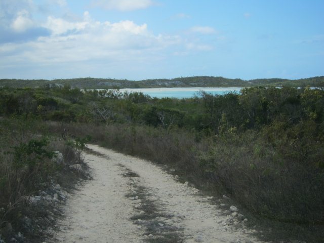
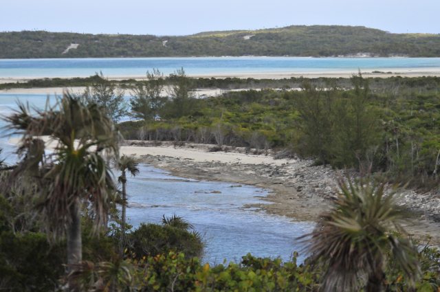
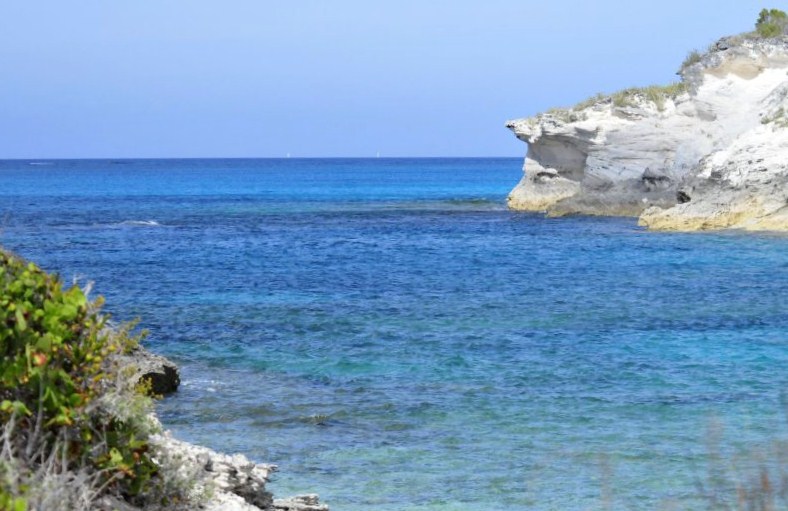
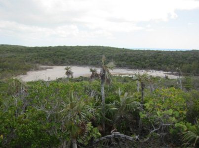
 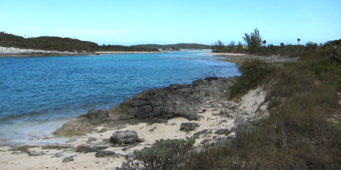 The views
from up here though were good
   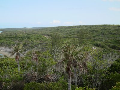
The road back seemed
less daunting after our last view and I got a favourite 'one
careful owner' en route
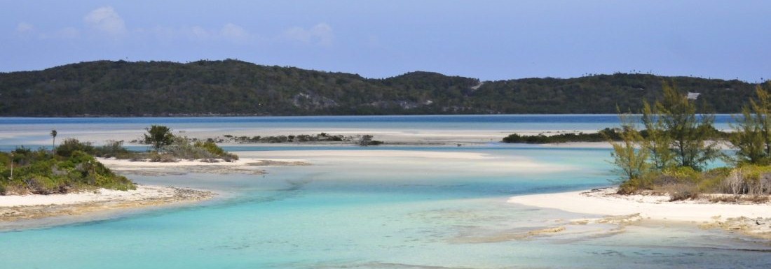 ALL IN ALL AFTER
THAT ROAD WE'LL HAVE COLUMBUS LANDING HERE ON LONG
ISLAND
AT LEAST WE KNOW HE FOUND LAND AND DIDN'T FALL OFF THE
EDGE
|