Cape Reinga

|
Cape
Reinga
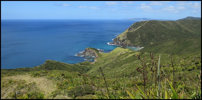
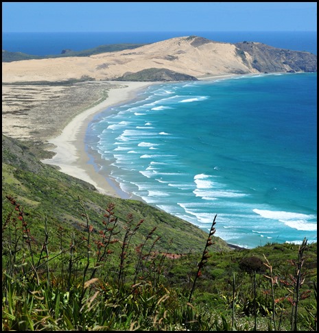
   On our road trip north we saw some amazing views.
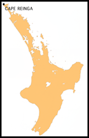 Cape Reinga on the
map.
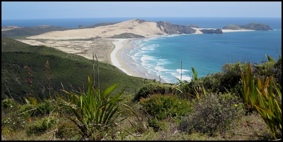 We got out of the car, walked through an arch and wow.
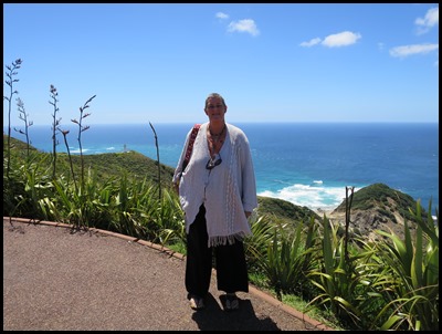
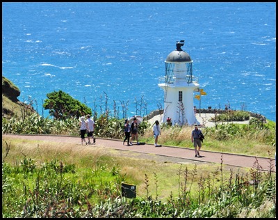
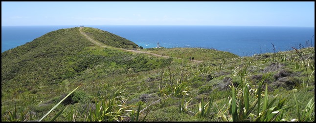 Away in the distance we could just see the lighthouse.
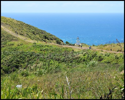  On we went.
Cape
Reinga
(Te Reinga or Te Rerenga Wairua in Māori)
is the northwesternmost tip of the Aupouri
Peninsula,
at the northern end of the North
Island
of New
Zealand.
Cape Reinga is over sixty eight miles north of the nearest small town of
Kaitaia.
We took State Highway 1 but suitable
vehicles can also travel much of the way via Ninety Mile
Beach
and Te
Paki
stream bed.
The name of the cape comes from the Māori word 'Reinga', meaning the 'Underworld'. Kupe is the earliest known voyager from Hawaiki, the original home of Māori in the eastern Pacific. Kupe gave this place the name Te Rerenga Wairua meaning the leaping-off place of spirits. He saw it as the point from which his people would return to their distant homeland after death. Many places around New Zealand have names from Kupe’s ancient voyages of discovery. The spirits of the dead travel north along their path, then turn right towards Te Rerenga Wairua. Motu o Pao (Pao’s Island) is the Māori name for this stretch of coast. Pao an ancestor of the people of this place, was the elder of twins born on this island.
As of January 2007, Cape Reinga is on the tentative list of UNESCO waiting to receive World Heritage Site status. The cape is already a favourite tourist attraction, with over 120,000 visitors a year and around 1,300 cars arriving per day during peak season. Visitor numbers are growing by about 5% a year.
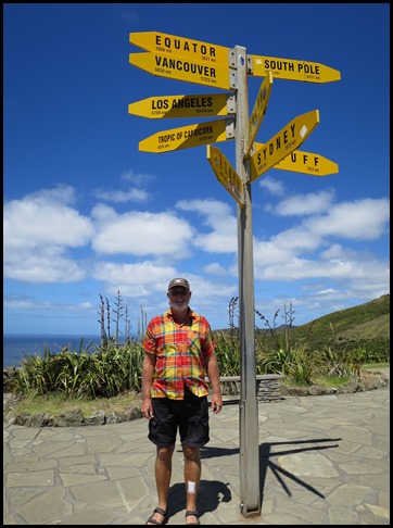
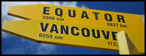
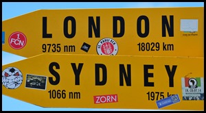
Great sign by the lighthouse.
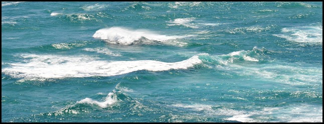
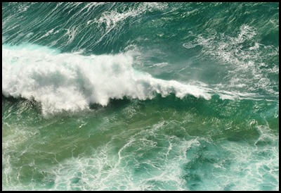
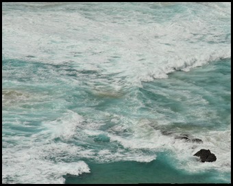
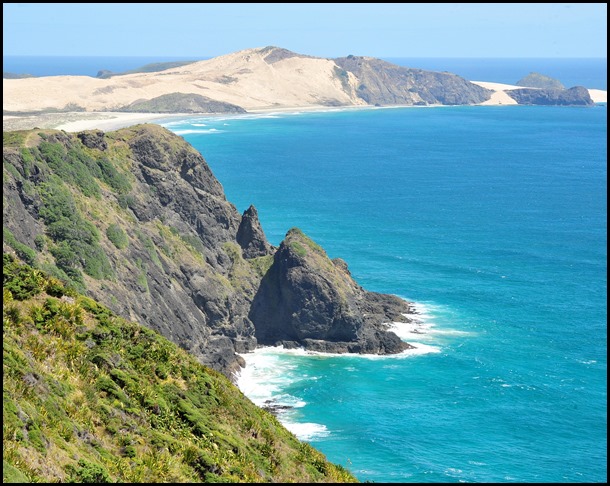
The Tasman Sea (left) meets the Pacific Ocean (right). More dramatic close in.
Meeting of the seas: Cape Reinga is generally considered the separation marker between the Tasman Sea to the west and the Pacific Ocean to the east. From the lighthouse it is possible to watch the tidal race, as the two seas clash to create unsettled waters just off the coast, apparently really impressive on stormy days. The Māori refer to this as the meeting of Te Moana-a-Rehua, 'the sea of Rehua' with Te Tai-o-Whitirea, 'the sea of Whitirea', Rehua and Whitirea being a male and a female respectively.
The cape is often mistakenly thought of as being the northernmost point of the North Island, and thus, of mainland New Zealand. However, North Cape's Surville Cliffs, eighteen miles east of Cape Reinga, are slightly further north. Another headland just to the west of Cape Reinga is Cape Maria van Diemen, which was named by the Dutch explorer Abel Tasman during his journey in 1642, named for the Governor’s wife in the Dutch East Indies, where the expedition had begun and thought of by him to be the northernmost point of the newly discovered country he named 'Staten Landt'. Abel Tasman did not come ashore. In 1769 Captain Cook and France’s de Surville led the first European expeditions to make contact with the local people. Cook’s and de Surville’s ships passed each other unseen while travelling through these waters. Neither knew of the other’s presence.
Māori mythology: According to mythology, the spirits of the dead travel to Cape Reinga on their journey to the afterlife to leap off the headland and climb the roots of the eight hundred year old tree and descend to the underworld to return to their traditional homeland of Hawaiki, using the Te Ara Wairua, the 'Spirits' pathway'. At Cape Reinga they depart the mainland. They turn briefly at the Three Kings Islands (just visible on the horizon) for one last look back towards the land, then continue on their journey. Zircon crystals found in Three Kings Islands sandstone are over a billion years old – some of the oldest minerals dated in New Zealand. They formed in granite deep in the earth’s crust and were eroded when their parent rock was pushed to the surface. The crystals became part of the sediment that formed the sandstone. A deep channel has separated these islands from the mainland for some fifteen million years. Sea-level falls during cold times twenty thousand years ago meant the gap between land areas closed to about eight miles. Abel Tasman sighted this group of islands on the 6th of January 1643, the twelfth day of Christmas – the Feast of the Epiphany, the day the three kings went searching for the new born Jesus. A spring in the hillside, Te Waiora-a-Tāne (the 'Living waters of Tāne'), also played an important role in Māori ceremonial burials, representing a spiritual cleansing of the spirits, with water of the same name used in burial rites all over New Zealand. This significance lasted until the local population mostly converted to Christianity, and the spring was capped with a reservoir, with little protest from the mostly converted population of the area. However, the spring soon disappeared and only reappeared at the bottom of the cliff, making the reservoir useless.
In 1928, prophet and healer T W Ratana came here seeking enlightenment. On the hill (above), he heard the ‘atua peruperu’ – the snuffling sounds of the spirits of the dead – as they passed along Te Ara Wairua (spiritual pathway). The hill has been called Atua Peruperu ever since. Ratana’s message of unity and social justice brought thousands of followers together. Today the church he founded has a strong presence in many Māori communities. During Ratana’s visit, he prophesised that a great light would one day shine out on the world here. Some see the lighthouse as fulfilling that prophesy. Certainly millions of people from across the planet have been drawn to visit this significant place, as have the two of us.
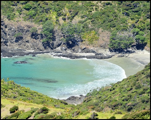
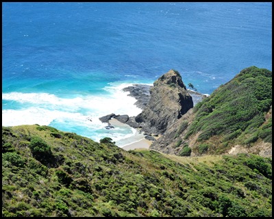
Whales have been known to enter Sandy Bay and scratch themselves against the rocks that protrude. They use the rocks to rub off animals and barnacles that have attached themselves to their skin.
Restoration: The former metal road (actually State Highway 1) to Cape Reinga was finished in 2010 after three years of work. 'Metal road' is a local term for a gravel road. In 2007, protests by Māori as well as increases in tourist numbers led the Department of Conservation to announce that the original public car park and toilet facilities, which were intruding on traditionally sacred ground, were moved further away from the cape and extended, at a cost of NZ$ 6.5 million. The road to the Cape, one of the last stretches of State Highway 1 was only recently sealed following three years of work and include extensive roadside revegetation with over 150,000 plants to prevent erosion. In March 2009, the works on the visitor facilities were completed. The first toilets we have ever been in with no sinks, just loads of hand sanitisers at a variety of levels. Outside there is one drinking fountain.
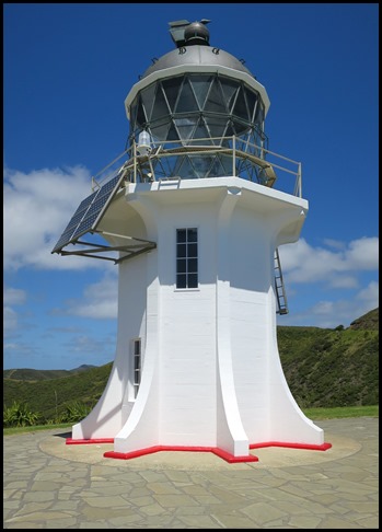
Lighthouse: The thirty foot lighthouse at Cape Reinga was built in 1941, five hundred feet above sea level, first lit during May of 1941, replacing a lighthouse located on nearby Motuopao Island, which had been built 1879. In 1987, the lighthouse was fully automated and the lighthouse keepers were withdrawn, monitored by a computer and Maritime NZ staff in Wellington. The previous diesel-powered 1000 watt light has since been replaced with a 50 watt flashing beacon powered by a battery charged by solar panels. It flashes once every twelve seconds and can be see for nineteen nautical miles.
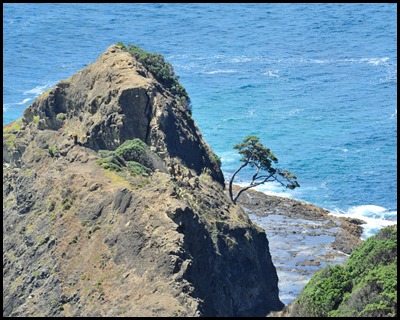
The ancient tree on the rocky point Te Reinga is known locally as a kahika. It survives, as pohutukawa trees often do, in what seem to be impossible conditions – even on a rockface lashed by salt winds. Unlike other pohutukawa, however, the kahika has never been known to flower.
The old lighthouse can be seen as a little stump on Motuopao Island. It flashed from 1878 until 1940.
ALL IN ALL A VERY SPECIAL PLACE VERY SPECTACULAR |
