Mt Conner Lookout

|
Mount Conner Lookout on the
Lasseter Highway
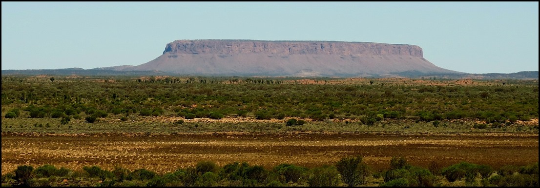
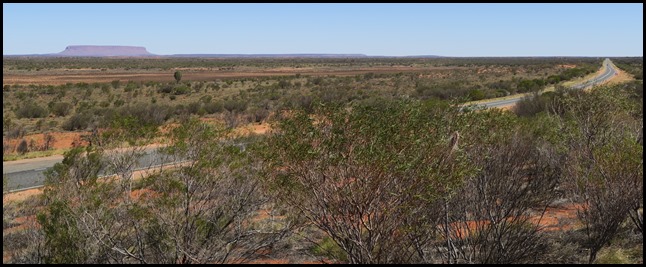
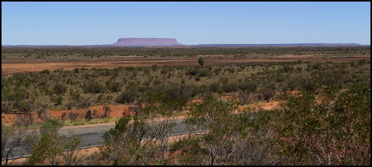 We pulled off the main road to see Mount Conner. In the old days so many tourists spent two weeks hard travelling to get here from Alice Springs, returning with a prized photograph, only to have the locals say “nice picture of Mount Conner, where’s your picture of Uluru ???” Oops. Sadly, an easy mistake to make, especially when people are so keen to get here...... 
Mount Conner, located in the southwest corner of the Northern Territory, 75 kilometres (47 miles) southeast of Lake Amadeus at the border of the vast Curtin Springs cattle station in Pitjantjatjara country. It reaches to 859 metres (2,818 feet) above sea level and to 300 metres (984 feet) above ground level. Mount Conner is a flat-topped and horseshoe-shaped inselberg/mesa, part of the same vast rocky substrate thought to be beneath Uluru and Kata Tjuta. It can easily be confused with Uluru, since it can be seen from the road to Uluru and Kata Tjuta, when approaching from Alice Springs. It was named Mount Conner by William Gosse in 1873 after South Australian politician M.L. Conner.
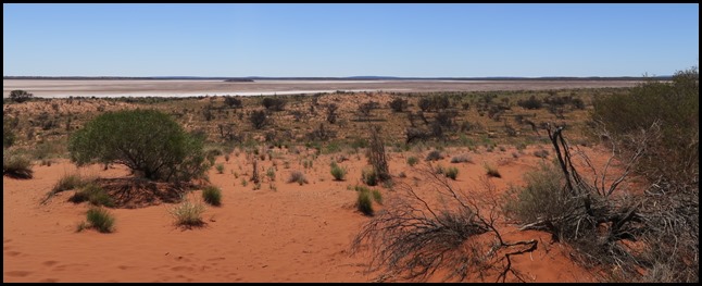
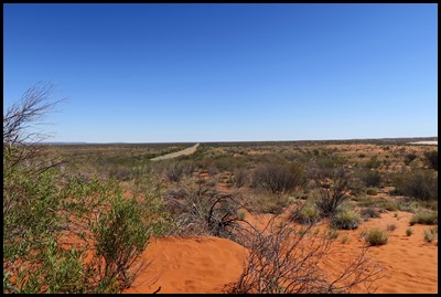
Behind us at the lookout is Lake Amadeus is a large salt lake in the southwest corner of Australia's Northern Territory, about 50 km north of Uluru. The smaller Lake Neale is adjacent to the northwest. It is part of (or a surface feature of) the Amadeus Basin that was filled with the erosion products of the Petermann Orogeny.
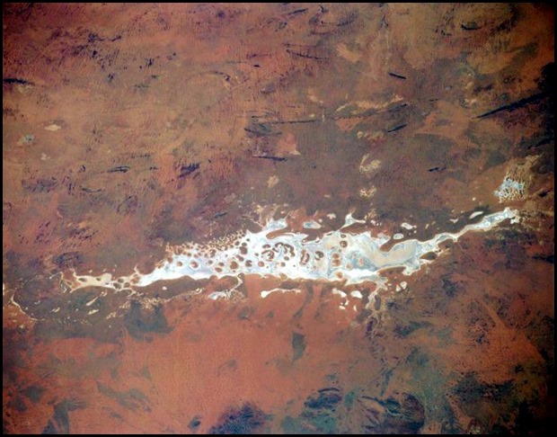
An amazing photograph of Lake Amadeus taken by NASA
Features: Due to the aridity of the area, the surface of Lake Amadeus is usually a dry salt crust. In times of sufficient rainfall, it is part of an east-flowing drainage system that eventually connects to the Finke River. Lake Amadeus is 180 kilometres (110 miles) long and 10 kilometres (6.2 miles) wide, making it the largest salt lake in the Northern Territory. Lake Amadeus contains up to 600 million tonnes of salt; however, harvesting it has not proved viable, owing to its remote location.
Discovery: The first European to discover the lake was the explorer Ernest Giles, who had originally intended to honour his benefactor Baron Ferdinand von Mueller with the eponym Lake Ferdinand. However, Mueller prevailed upon Giles to instead honour King Amadeus I of Spain (1845-1890, he abdicated in 1873 after only three years on the throne), who had previously bestowed honour on him. The lake's expanse was a barrier for Giles who could see both the as yet un-discovered Ayers Rock and Kata Tjuta but could not reach them as the dry lake bed wasn't able to support the weight of the horses. The next year, William Gosse climbed and named both rises. We stood in the forty degree heat just imagining what it must have been like – the lake was as far as we could see in either direction.
The Lasseter Highway..........
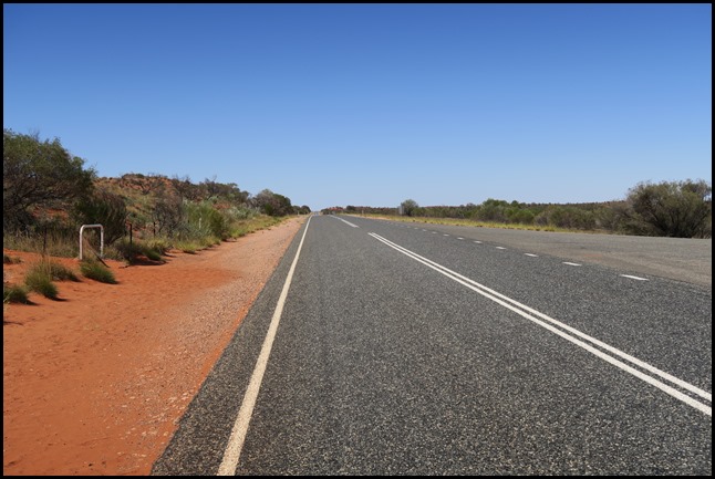
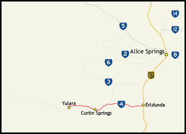
........or State Route 4, is a fully sealed, 244 kilometre highway in the Northern Territory. It connects Yulara, Kata Tjuta and Uluru east to the Stuart Highway. The highway is named after Lewis Hubert (Harold Bell) Lasseter, who claimed to have discovered a fabulously rich gold reef (Lasseter's Reef) west of Kata Tjuta.
The highway is named after Lewis Hubert Lasseter, or Lewis Harold Bell Lasseter as he later referred to himself, who was born on the 27th of September 1880 at Bamganie, Victoria, Australia. Though self-educated, he was literate and well-spoken, and commonly described as eccentric and opinionated. He travelled in both Australia and the United States and worked at a variety of occupations, marrying twice and fathering five children. Lasseter was made famous by his sensational claim, first asserted in 1929, that, as a young man, he had discovered a fabulously rich gold reef, an entity now known as "Lasseter's Reef", in central Australia.
By 1930, when Australia was in the grip of the Great Depression, the attractions of desert gold were much greater, and Lasseter (seen at the front of the group) succeeded in securing approximately £50,000 in private funding towards an expedition to relocate the reef. Unusual for the time, this expedition included motorised vehicular transport and an aircraft. Accompanying Lasseter were experienced bushmen Fred Blakeley (leader) and Frank Colson as well as George Sutherland (prospector), Phil Taylor (engineer, driver), Blakeston-Houston (governor-general's aide, 'explorer') and Errol Coote (pilot). On the 21st of July 1930 the group left Alice Springs, Lasseter was a sullen companion and a vague guide. They headed for Ilbilba (aka Ilbpilla Soak) – an aerodrome created earlier that year for Donald George Mackay's expedition, near Lake Mackay. The group endured logistical difficulties and physical hardships (including the loss of a plane). On reaching Mount Marjorie (now Mount Leisler), Lasseter declared that they were 150 miles (240 km) too far north of the search zone. Exasperated, Blakeley declared Lasseter a charlatan, and decided to end the expedition. They parted with Lasseter at Ilbilba. Lasseter insisted on continuing the trek, accompanied by a dingo-shooter, Paul Johns and his team of camels. Lasseter, whose behaviour was increasingly erratic, set off towards The Olgas. One afternoon Lasseter returned to camp with some concealed rock samples and announced that he had relocated the gold reef. He refused to reveal its location. Johns, who by now doubted Lasseter's sanity, accused him of being a liar. A fight ensued, and Johns left Lasseter to his own devices, returning to 'civilization'. Lasseter himself trudged off into the desert sands with two camels. A search for Lasseter was conducted by a bushman, Bob
Buck. In March 1931 Buck found Lasseter's emaciated body at Winter's Glen and
his personal effects in a cave
at Hull's Creek. From Lasseter's diary it was learned that after Johns had left,
Lasseter's camels bolted, leaving him alone in the desert without any means of
sustaining himself or returning. He encountered a group of nomadic Aborigines,
who rendered assistance with food and shelter; but a weakened and blinded
Lasseter eventually died of malnutrition and exhaustion, having made a belated
attempt to walk from the cave to Ayers
Rock or the Olgas.
   Later
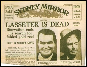
History: Lasseter’s death made the front page of the Sydney
Mirror. No maps showing the location of the fabled gold reef
were ever found, and over subsequent decades the tale of the reef and its
discoverer has assumed mythic proportions; it is perhaps the most famous
lost
mine
legend in Australia, and remains a "holy grail" among Australian prospectors,
some say one of his sons keeps searching to ‘clear’ his fathers name. Popular
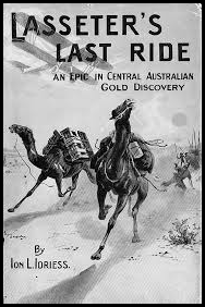
adventure-story author Ion
Idriess, in his book Lasseter's Last
Ride (1931), gives a detailed description of Lasseter's time with the
Aborigines. His diary's notes were hidden under camp fires from the Aborigines.
They had shunned Lasseter after their Kurdaitcha
man "pointed the bone at him" – he was condemned to be
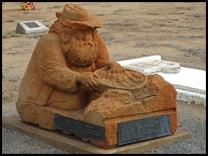
ignored and no longer cared for. His remains were re-interred in Alice Springs
Cemetery with a fitting memorial.
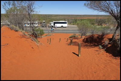 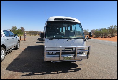
In the searing heat, we crossed the red – red hot sand back to our trusty steed.
An enjoyable stop that began with Mount Conner and ended with so much more.
ALL IN ALL WHAT A FASCINATING STOP SPECTACULAR VIEWS OF MT CONNER AND THE LAKE |
