To Fox Glacier

|
To Fox Glacier Via The Haast
Pass.
   We leapt up this morning with a plan to visit
Jackson Bay, travel the Haast Pass and end up at Fox Glacier. Before we left our
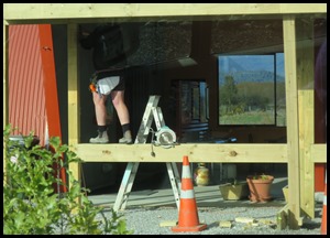
campsite I had chance to admire a workman’s legs. Not
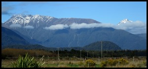
a usual view in these parts, but, it did a change from the mountain scenery that we have got used to. Off we went over
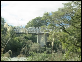
the first of many, many bridges of the
day.
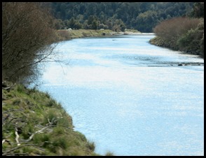
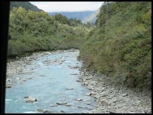
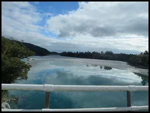 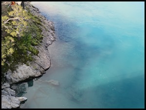 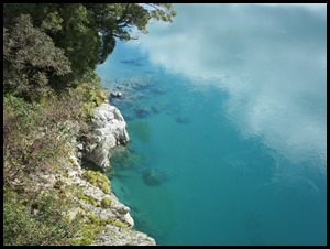 We cannot get over just how clear and blue the water is as we pass over the
bridges.
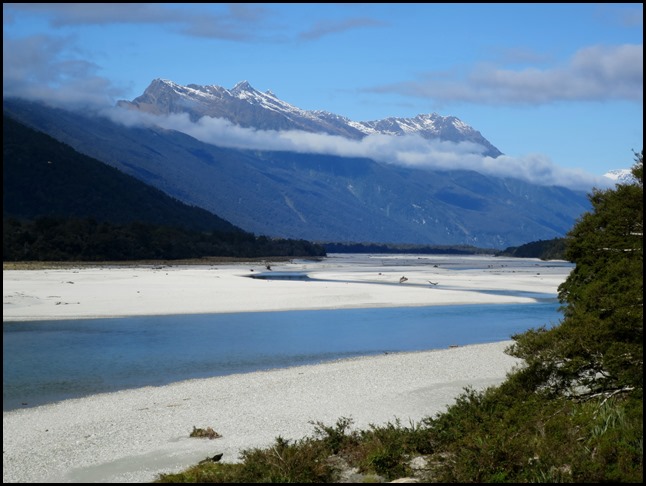 The most beautiful of the day had to
the scenery looking upstream from the Arawhata
Bridge.
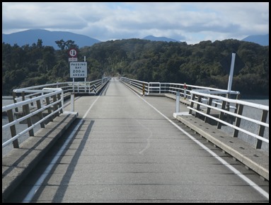 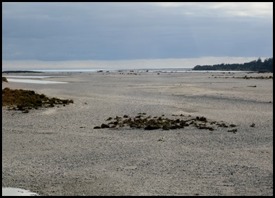 We crossed the massive Haast River Bridge. At seven hundred and thirty seven metres it is the longest one-lane road bridge in New Zealand, and the 7th longest New Zealand bridge overall, so long that there are two passing bays along its length. The river bed looks more like a beach it is so wide a vista. 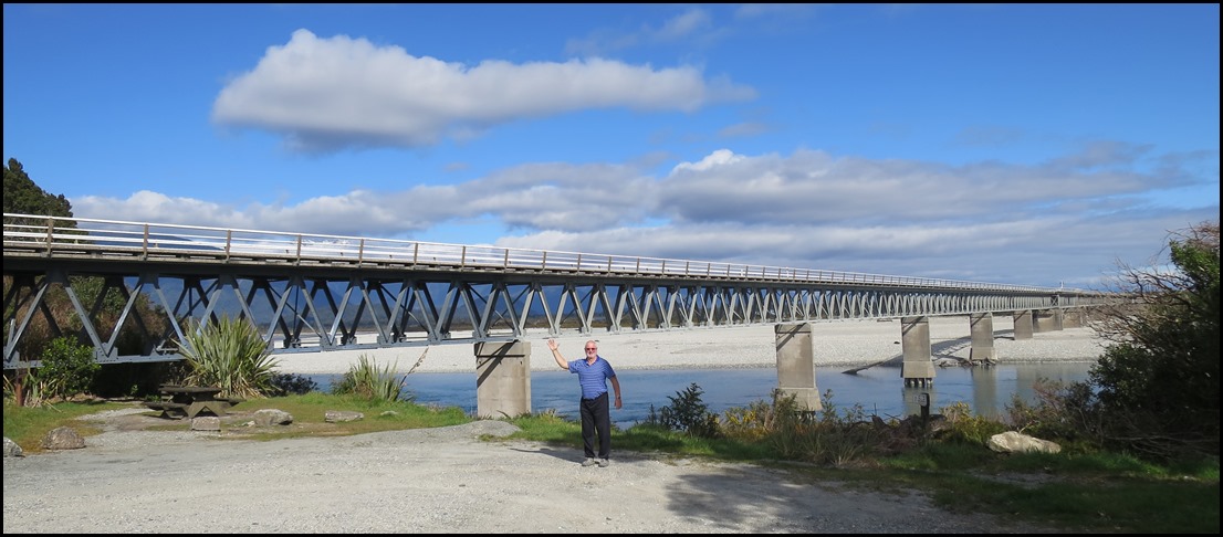 Once over the bridge we stopped to admire this humungous structure.
   The Cray Pot was closed in Jackson, but Bear made
up for it at the Curly Tree. Loved the sign in the door that said ‘Toot twice & we’ll be with you in a mo’. Sadly
for me, Bear did get to have the local delicacy – whitebait
on toast. They will stare with their beady, big
eyes..........and the aroma. Moving on.
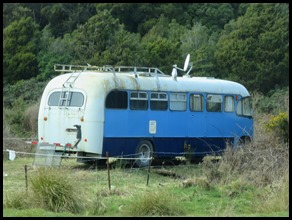 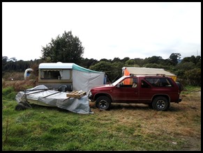 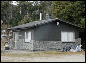 An interesting
encampment around Curly Tree. Anything, not to look at the whitebait
looking at me. What was really neat was this temporary home having the permanent one built around it.
Our next stop was Ship Creek.
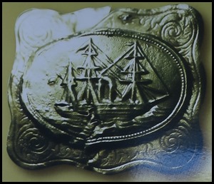 In 1867 a large piece of ship’s hull
was discovered in the tranquil creek beside us. Speculation ran rife about the
unusual wreckage, described as being “twenty feet long by twelve feet wide
consisting of three layers of planking fastened together with brass bolts and
screw tree nails of wood.” Its modern construction style combined with the fact
that no recent ship wreck had been reported along this coastline, kept the
beached hull a mystery for many years.
Dr. James Hector, a government
geologist and explorer, visited this site in 1871 and sent portions of the
impressive diagonal planked oak hull to the New Zealand Institute for closer
inspection. Suggestions that it could be from the clipper Schomberg, wrecked off the coast of Victoria,
Australia in 1855, soon circulated. To help solve the puzzle, parts of the hull
were eventually sent back to the shipyard of her origin – Hall & Co in
Aberdeen, Scotland. The company confirmed that the timbers were indeed from the
ill-fated Schomberg.
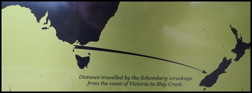 This incredible story shows the power
of the West Wind Drift – the eastern moving circumpolar current responsible for
sweeping the Schomberg’s timbers 2,000 kilometres east across the Tasman Sea. Here they washed up, in the creek
now known as Ship Creek. Amazing story.
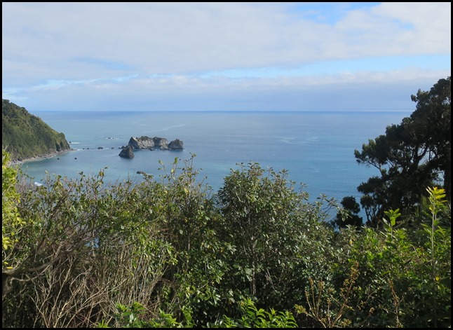 Arnott
Point is not without a notable human past. In 1826 it was the site of one
of the few recorded battles between Māori and sealers, the former launching an
attack on a sealing party camped in a coastal cave. In revenge the sealers
attacked the Māori settlement at Okahu – modern day Jackson Bay .
 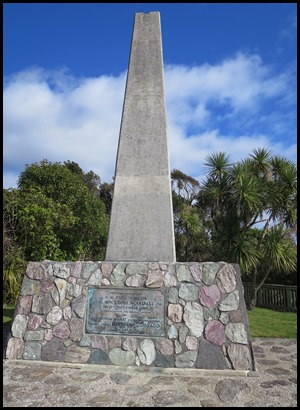 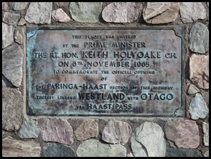 Next we stopped to look at the memorial to the opening of the Haast Pass on the 6th of
November 1965.
Haast Pass is a mountain pass in the Southern Alps of the South Island of New Zealand. It is named for Julius von Haast, a 19th-century explorer who was also geologist for the Provincial government of Canterbury. The pass was used by Māori in pre-European times, but not on a regular basis. It is one of the three passes where a road crosses over the Southern Alps, the other two being Lewis Pass and Arthur's Pass, although the Homer Tunnel also passes under the Main Divide. The road through Haast Pass (State Highway 6) was converted from a rough track to a formed road in 1966 and finally received a complete tarmac surface by 1995. In the early 20th century, a railway from the West Coast through the pass to Otago was considered; it would have linked the Ross Branch with the Otago Central Railway, which then terminated in Omakau. However, the line never came to fruition; the Otago Central Railway terminated in Cromwell and no railway was built south of Ross, just a lightly laid bush tramway to serve logging interests near Lake Ianthe.
The Haast Pass rises to a height of 562 metres above sea level at the saddle between the valleys of the Haast and Makarora Rivers. As such, it is the lowest of the passes traversing the Southern Alps. The Haast Pass road is devoid of any settlements between Haast and Makarora. The road passes through predominantly unmodified beech forest. The pass itself is within the limits of Mount Aspiring National Park and forms part of the boundary between Otago and the West Coast.
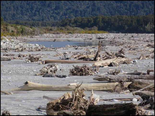
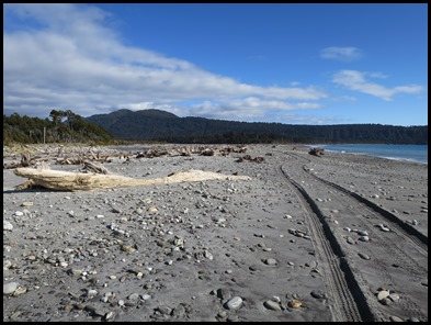
The next stop was Bruce’s Bay, we have never been on a beach with so much driftwood.
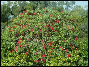
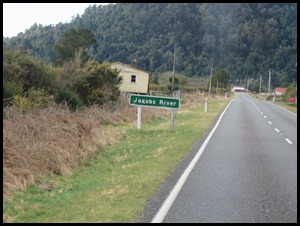
The road wiggled inland and we saw a beautiful rhododendron in bloom and crossed Jacob’s River xx xx
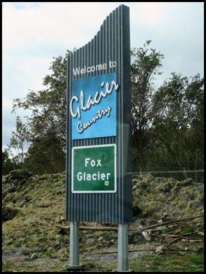
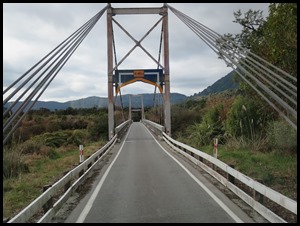
We crossed Cooks River, entered Glacier Country and crossed the Fox River Bridge.
We turned off for our tramp to the glacier
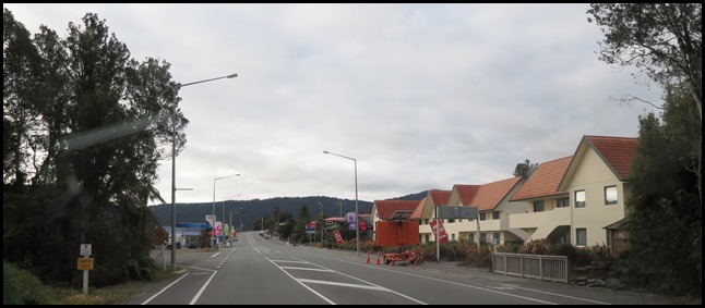
itself then on to the town. Fox Glacier township/Weheka, four
miles away from the glacier, functions mainly as a service centre for tourists,
though it also services the local farming community, which had been its main
focus until the 1990’s (though tourism started as early as the late 1920’s). The
approximate township site had been gazetted as early as 1866.
Bruce
Bay
is 46 km to the south-west of the township, and Franz
Josef
is 23 km north-east. State Highway
6 runs through the town that has a
population of about 375 people. Bear ran into one of the
helicopter tour operators, his birthday present, he came skipping out smiling
from ear to ear. Nathan was going to take us up on the morrow..... Right then.
Off to our campsite.
ALL IN ALL A TREMENDOUS ROAD
AWESOME ROAD WITH STUNNING
SCENERY |
