Fox Glacier

Beez Neez now Chy Whella
Big Bear and Pepe Millard
Tue 26 Aug 2014 22:57
|
Our Tramp to See The Fox
Glacier
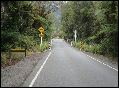  We pulled off the main road heading toward the Fox Glacier.
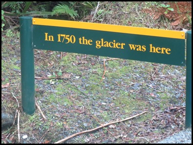
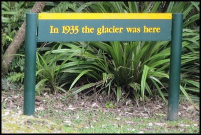
Along the way we saw a sign on the left.
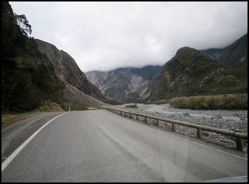 A few minutes later we saw quite a large rockfall.
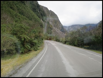  The next sign on the
right.
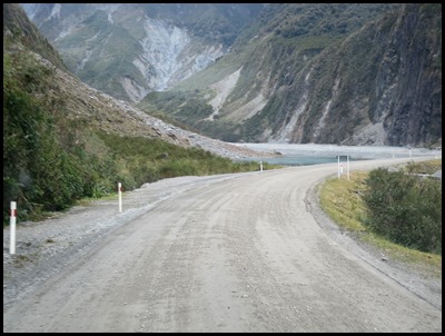 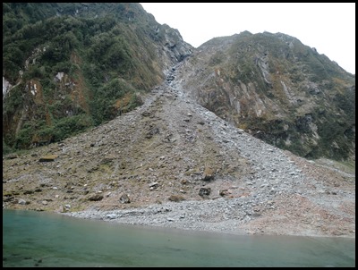 Nearing the landfall the road became a gravel track, then we passed the rockfall.
     We parked Mabel in the car park and
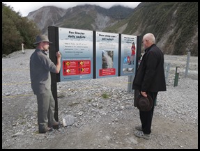
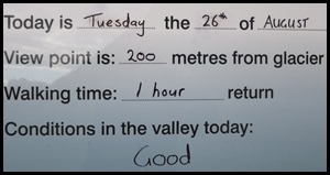
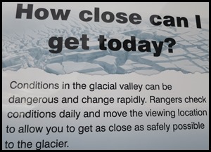
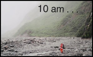
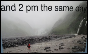
found ourselves in an enormous steep-sided valley. We stopped to read the Information Boards.
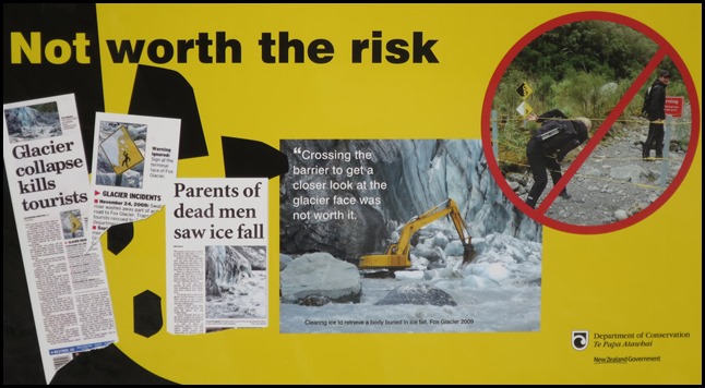 We set off, soon we
saw another sign. Though people are told not to,
some go beyond the barriers and climb without guides
onto the glacier, whose rapid advance creates dangers of sudden ice and
rockfalls. This is of course very sad but it is very selfish as the rescuers and
recovery teams are put at such personal risk.
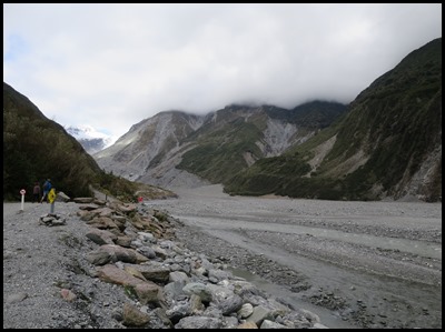 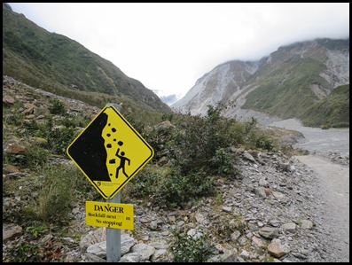 The scenery was grey and rocky.
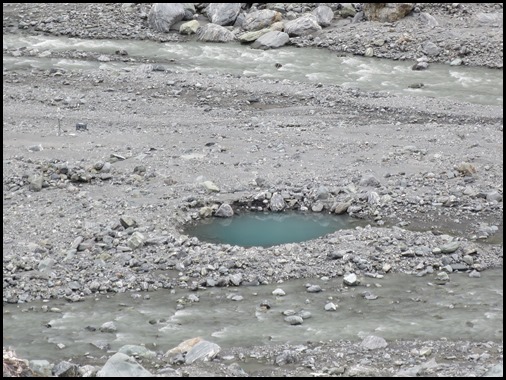 One lone pool in the middle of the valley, but definitely a glacial
blue.
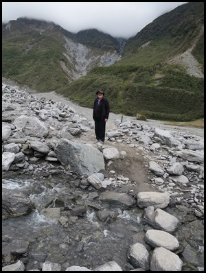 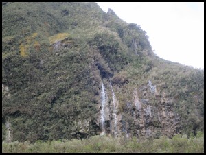 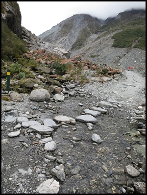 We crossed brooks, saw waterfalls and the last bit got quite steep.
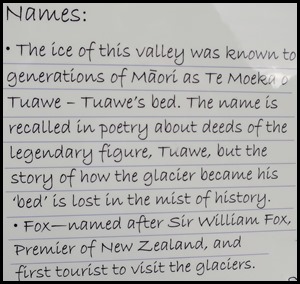
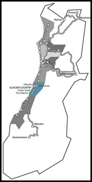 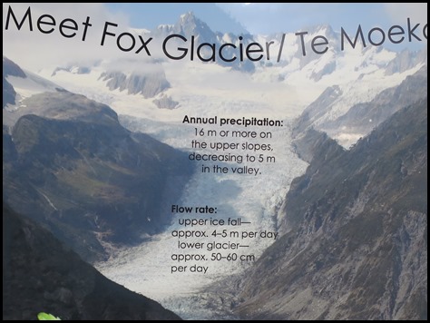 The Fox
Glacier (Te Moeka o Tuawe
in Māori)
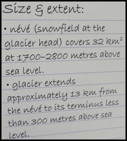
is an 8.1 mile long glacier
located in Westland Tai Poutini National
Park
on the West Coast of New
Zealand.
It was named in 1872 after a visit by the then Prime Minister of New Zealand,
Sir William
Fox. Fed by four alpine glaciers, Fox Glacier falls 8,500
feet on its journey from the Southern
Alps down to the coast, with it having the distinction of
being one of the few glaciers to end among lush rainforest only 980 feet above
sea level. Although retreating throughout most of the last century, it has been
advancing since 1985. In 2006 the average rate of advance was about a three feet
a week. In January 2009, the terminal face of the glacier was still advancing
and had vertical or overhanging faces which were continually collapsing.
The outflow of the glacier forms the Fox
River.
During the last ice
age,
its ice reached beyond the present coastline, and the glacier left behind many
moraines during its
retreat. Lake
Matheson
formed as a kettle
lake within one of these. Like the nearby Franz Josef
Glacier, it is one of the most accessible glaciers in the
world, with its terminal face an easy walk from Fox Glacier village/Weheka. It
is a major tourist attraction and about a thousand people daily visit it during
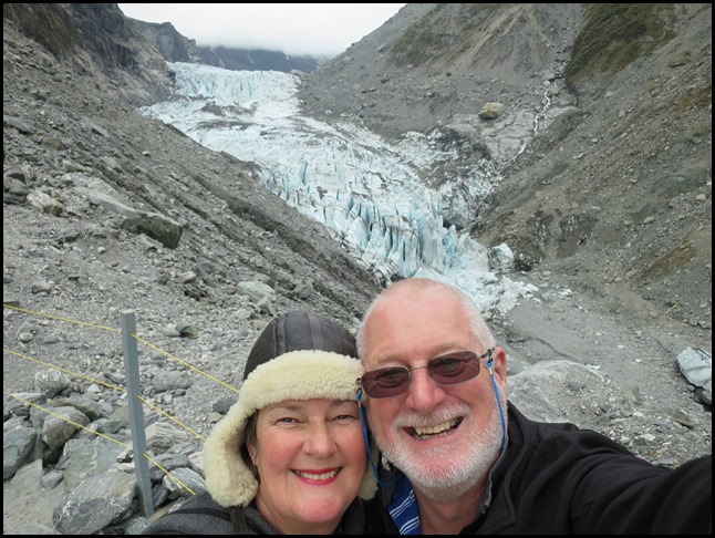
high tourist season. A bit of huffing and puffing at the end of the track, we
too made the tourist numbers.
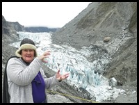
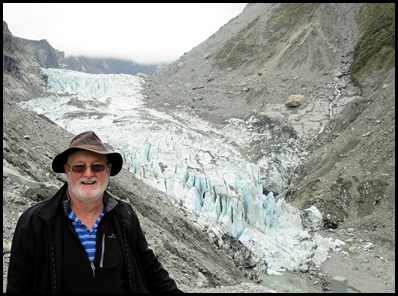
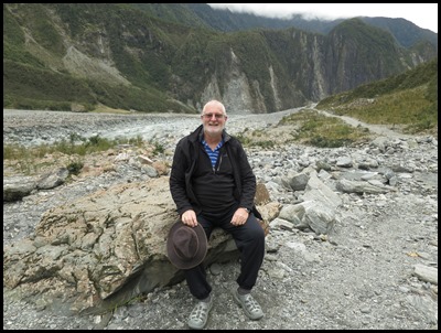
We had fun getting ourselves in the picture.
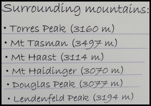
We just love the information we find on the boards.
We took some ‘in case’ pictures as we feel the ‘Ice Bucket Challenge’ creeping toward us.
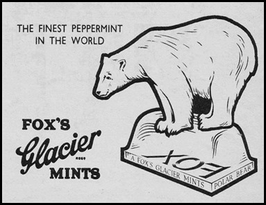
We thought about the Fox’s Glacier Mint advertisements we had seen on the television so many years ago, the fox never managing to steal the mint. Here we have two Fox’s Glaciers and two Bears. The one on the left is called Peppy, the one on the right, Big Bear.
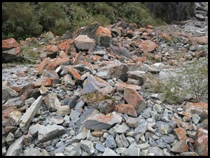
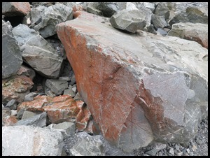
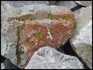
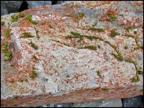
We have been told that the first thing to grow after a rockfall is this pinkish-red lichen. As we tramped we saw plenty of growth, proving much activity here after rock movement.
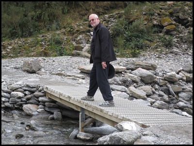
We headed back to Mabel, taking in the sheer size of the valley. Bear not fussed at the skinny support over one of the brooks.
ALL IN ALL AN IMPRESSIVE AND UNSTABLE VALLEY A REAL FIRST FOR ME |
