Arch + Kitchen

Beez Neez now Chy Whella
Big Bear and Pepe Millard
Tue 12 Jan 2016 23:57
|
Tasmans Arch and Devils Kitchen 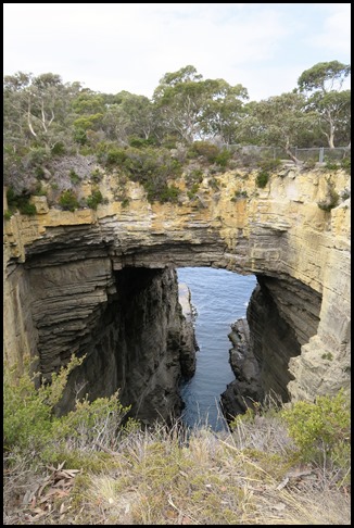 Tasmans Arch is what’s left of the
roof of a large sea cave, or tunnel, that was created by wave action over many
thousands of years. The pressure of water and compressed air, sand and stones
acted on vertical cracks [joints] in the cliff, dislodging slabs and
boulders. 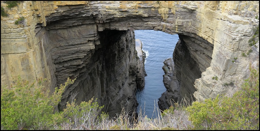 Tasmans Arch seems to be old but it is still changing - is the
arch growing or the roof thinning. In the cliff-face opposite there are many
weak zones similar to those that gave way to create an arch when the cave wall
collapsed. The arch will eventually collapse and another ‘Devils Kitchen will be
formed. Looking to the edges we thought it almost looked
man-made, the upright sandy colours and the horizontal dark
greys.  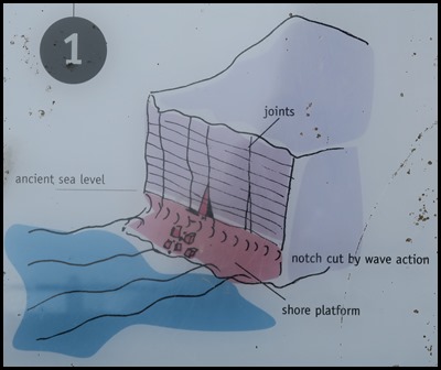 1. Ancient and Modern Seas Erode Siltstone
Cliffs. About six thousand years, when the sea-level rose at the end of
the last ice age, the sea further eroded the base of the old siltstone cliffs.
Wave action cut a notch in the base of the cliffs, undermining the rock layers
above. The wave action thus caused some collapse and the formation of a shore
platform. Waves also worked into some of the vertical joints, dislodging more
rock. So began the formation of sea caves. Tasmans Arch, Devils Kitchen and The
Blowhole all began their development in this way. 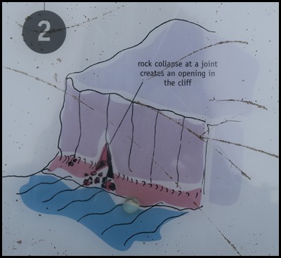 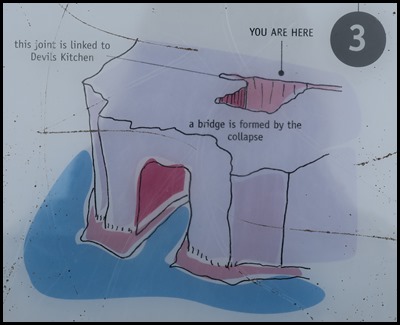 2. The Formation
of a Sea Cave: Wave Action Erodes a Cliff. Wave action continued to erode
the base of the cliff. Vertical joints were weakened further and slabs of rock
collapsed into the sea. Water pressure, sand and stones acted on the openings
[cracks, joints] which widened and deepened into a sea cave and later a tunnel
with a cave behind it. Some of this erosion probably took place during a time of
higher sea level. 3. The Back of the Tunnel Collapses
and Tasmans Arch is Formed. Thousands of years of erosion deepened or lengthened
the tunnel. Eventually the tunnel reached a fracture that runs parallel to the
coastline. This fracture is linked at sea level to the Devils Kitchen. The roof
collapsed at this joint leaving a pit behind an arch.  During the Carboniferous and Permian geological periods [300
to 265 million years ago] this area was part of a cold sea. Sea ice, icebergs
and streams carried blocks of rock, sand, silt and mud into the sea. As the sea
finally retreated an extensive, sandy plain was formed. These flat-lying
siltstone and sandstone rocks form the sea cliffs from Waterfall Bay to
Eaglehawk Neck.  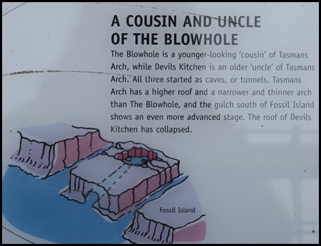 After reading everything on the
information board it was time to bimble over to the
lookout. 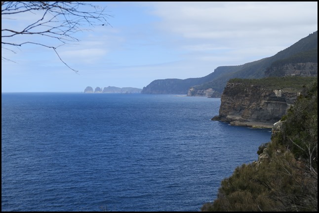 View from the lookout into
the distance. 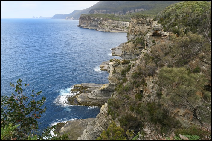 Closer view. 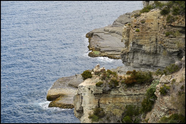 The cliffs nearest our vantage
point. 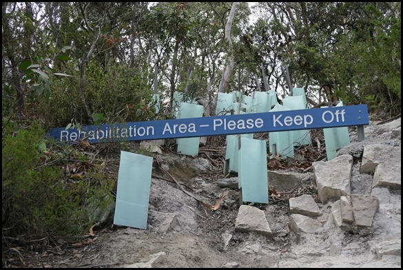 New plantings behind
us. 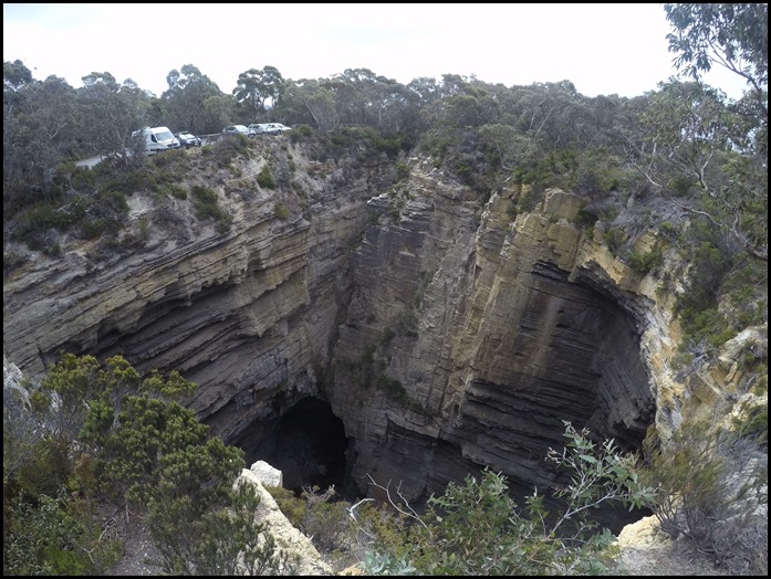 From the other side [Tasmans Arch
now on the right] we could see Mabel on the left. 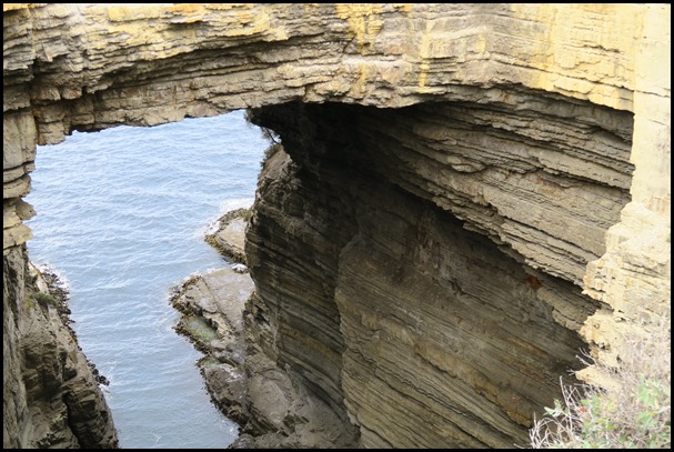 From as far left as we could
get.  Despite being bone dry on the ledge in front of us these chaps seem to thrive.  Our final stop was a short walk away. 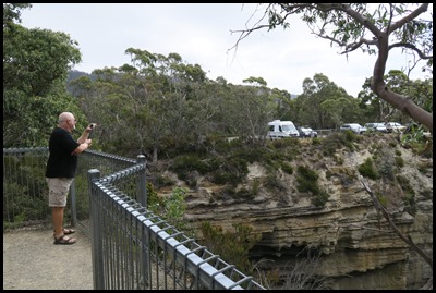 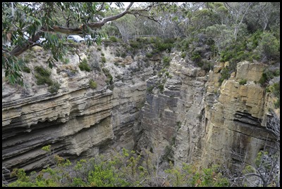 Beginning our walk was like a time warp –
Bear, Mabel horizontal rock erosion........
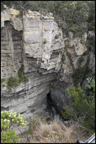 Then the view
down – wow. If only a person was standing at the bottom to get the
perspective of how deep. The small cave at the bottom would tower over them. The
sea is still wearing down Devils Kitchen, the small cave will get a bigger
opening and the sea will erode an even greater area.
This is the final act of our circle of
erosion – from a humble cave to a great gulch, what a good
word...... 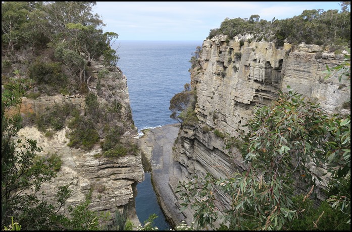 View out to sea
from the Lookout. A person in the water would look like a tiny pin head. Our
final picture is us in the way of the Lookout. 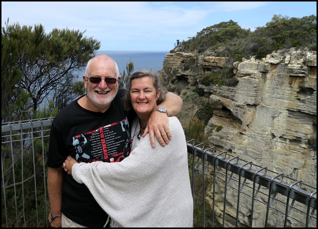 ALL IN ALL WE’VE SEEN THE FULL
CIRCLE
GEOLOGICAL WONDERS
|