Carlo Sandblow

Beez Neez now Chy Whella
Big Bear and Pepe Millard
Sat 7 May 2016 22:47
|
Carlo Sandblow
   After a tasty lunch at the Surf Club,
Rainbow Beach, Jim and Pam said our next stop was to see the sandblow. No idea
what one of those is, size or reason, we as usual readied our open minds for new
things that just may have a wow factor. Our wows have come in all shapes and
sizes and often when we were not looking or expecting one. Parked in the shade,
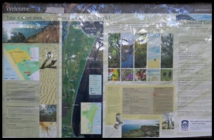
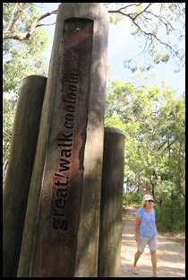
we stopped at the information boards and followed Pam past a post that declared ‘ Great Walk
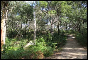
Cooloola’. Mmm, we were in the woods.
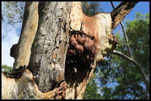 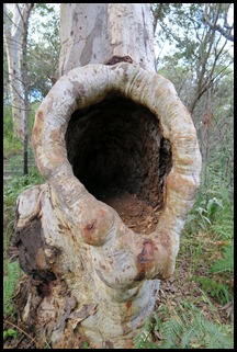 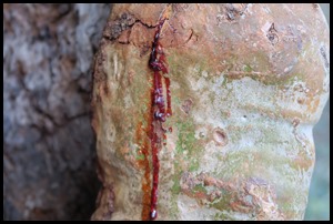 Wonderful
shapes.
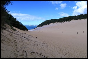 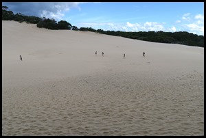 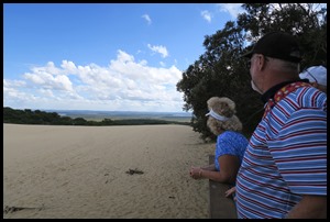 Oh my. From the woods we went up a few steps and found ourselves
standing on a wooden observation deck. For once I ignored the information boards
and gaped. Left, straight ahead and right. Pam pointed right and said that
Beez was over in the far distance.
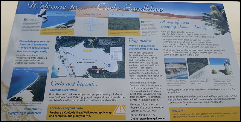 A quick look at the information board, then Jim and Pam told us to leave our shoes on the deck and stay
as high as we could as we walked the edge of the sandblow, named Carlo by
Captain Cook after one of his crew. The Carlo Sandblow is part of the Cooloola sandmass - one of
the largest accumulations of wind-blown sand found along the Queensland
coast. The unique "moonscape" sand
mass covers
over thirty seven acres and overlooks the towering coloured
sands.
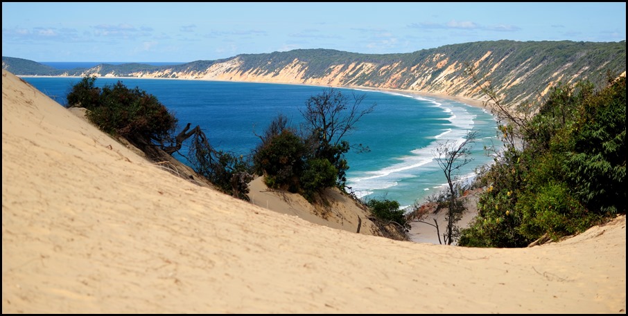 OH WOW, from here we could see why the name fits - Rainbow
Beach.
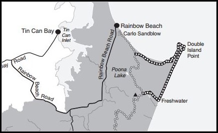 We went higher and left,
walked to the end of the sand from here we could see Tin Can Bay on the map.
 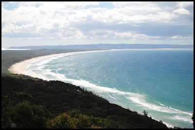 Looking left, Beez somewhere over there, looking ahead and to the right over Wide Bay
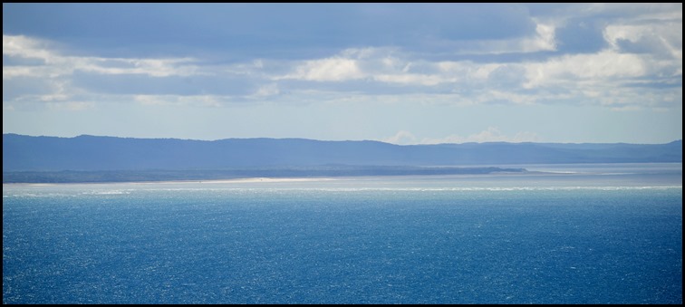 Even at this distance we
could make out the Wide Bay Bar, we had motored just
beyond the surf line.
 Looking out to sea we
could clearly make out the shallows.
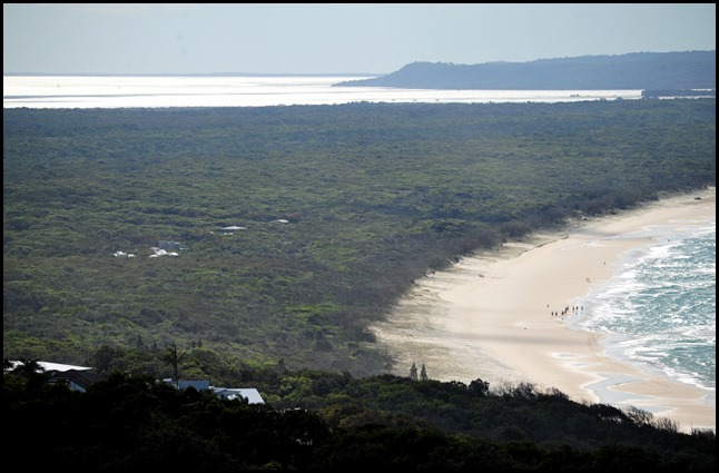 Once we had reached
Inskip Point we were out into the massive area of
water seen at the top of the picture.
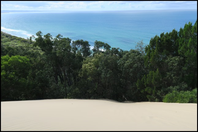 Looking down, mmm difficult to get perspective but Bear
wouldn’t go down the very steep slope of sand at the leading
edge.......
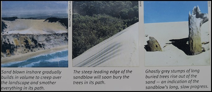 ......................better seen on the pictures from the information board, the leading edge does look steep.
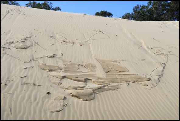 Walking back the way we
had come and we were looking upward at the Wind patterns.
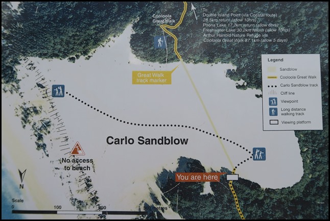 Back to the edge. So we had walked left from the deck (you are here), turned left to the far end and ended up
under where it says ‘here’, then returned to above ‘here’.
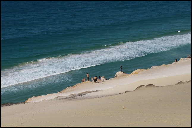 Pam pointed down
to where the youngsters slide down to the beach.
People also launch themselves on hang gliders. We had an overwhelming urge to
roll down but as we are still finding sand from when we rolled down the dune in
the Sahara, thought that Jim wouldn’t be too pleased with what we would do to
the back of the car. We’ll leave with the picture I
took.
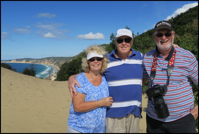 .ALL IN ALL WOW BY THE BUCKETFUL
VERY IMPRESSIVE VIEWS |