Kushiro to Tokyo

|
Our Flight from Kushiro to
Tokyo
  Who would believe it, yesterday we
could take off but not get a connecting flight to Osaka, advised to stay put due
to Typhoon Lan. We were not too displeased in the end as the the bus journey too
and from the airport had the bus bobbling along in the wind and rain. Sitting at
traffic lights we were positively rocking. After our trip, we went back to our
digs and the ladies kindly let us return to our original room, we in turn told
the cleaning lady we were all set which made her very pleased but she made us
have new towels. We spent the day knocking out our upcoming trip to Myanmar and
felt we had achieved this by bedtime. The only thing we will miss in Kyoto is a
bimble up a mountain to see the snow monkeys and a view.
I can live without either but I wish them well. Thank you, Bear just
glad your train day was not missed then. Arrrr
well. Indeed Sir........
This morning, what a difference, we
climb on to the shuttle bus and do the five minutes to the bus station in
brilliant sunshine. I nip in and buy our coach tickets for six pounds thirty two
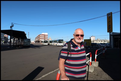
each and wait quietly at Stop 8. Bear waiting for the
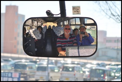
bus in just his tee shirt. On the fifty minute coach journey to the
airport, a happy bunch who had, like us, been
grounded.
 We cross the
river, way up on yesterday.
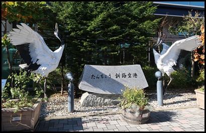 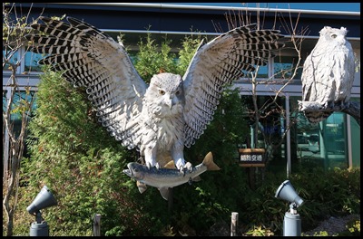 Lovely cranes and owls wish us
‘farewell’ at the airport.
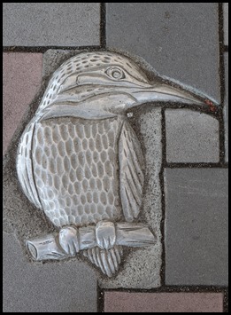 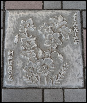 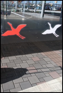 Beautiful inset
tiles as we approach the door, covered in alternating red and white cranes.
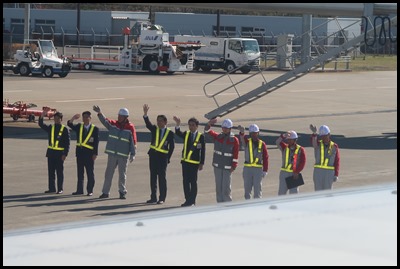 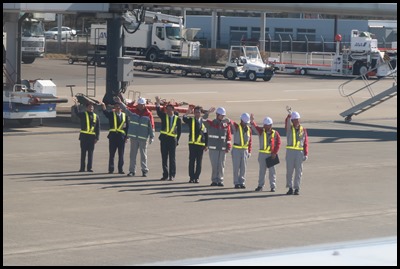 Ground staff give us a bow and wave for ages, smiling and cheerful, efficient and
beautifully presented.
   So, after our brief look at the
Hokkaido Island we are returning to Tokyo en route to Osaka and onward to
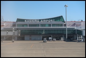
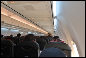
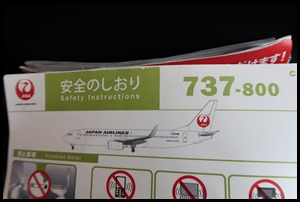
Kyoto.We trundle by the airport sign, all settled for our safety briefing on this 737-800.
 Not been to many airports with scenery like this.
 Oooo, thrilled to see these boys and
their rescue chopper.
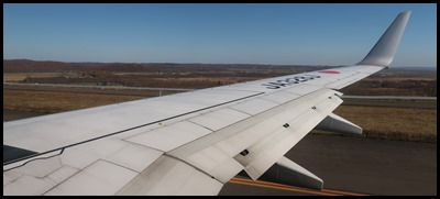 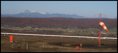 We trundle
on, the wind sock barely giving a
flicker.
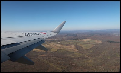 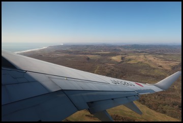 Soon up in the
air and heading for the ocean.
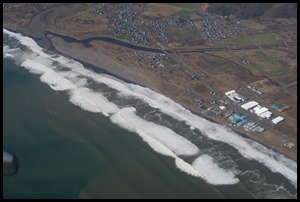 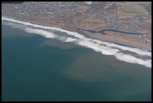  Leaving Hokkaido
behind.
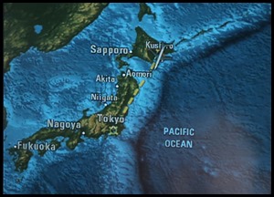 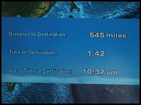 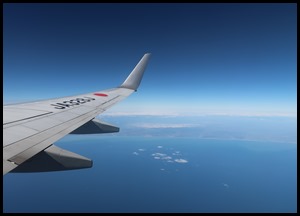 Bear loves the graphics, I love to look out at the
blue.
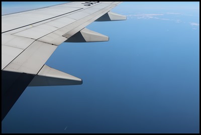 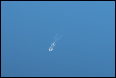 The teeny-weeny
white smudge at the bottom of the first picture is indeed a chum when I zoom in.
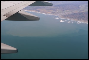
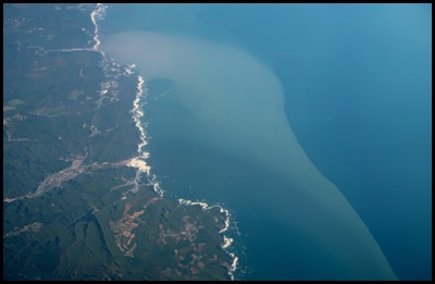 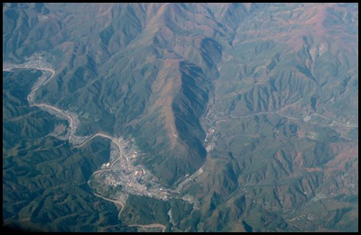 Nearing the coast of Honshu we see how
an estuary dumps silt into the sea. Then volcanic scenery dotted
with towns and roads.
 In the distance, a
snow-capped peak.
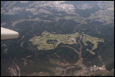 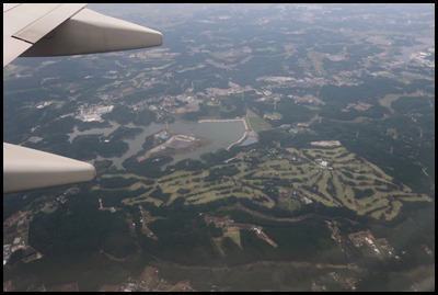 I thought I was looking at posh
housing estates with daintily placed trees for privacy, until I twigged they
were golf courses, and there were loads of
them.
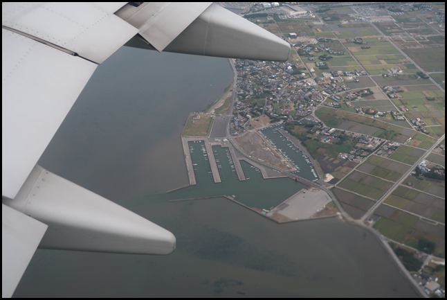 A marina
and back over the sea.
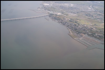 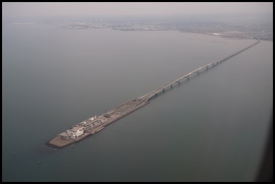 I see a line like
a pier, then what might be a chum loading
jetty.
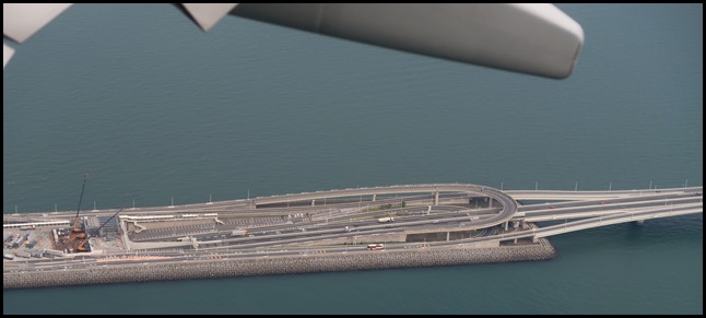 I zoom in and see cars. Bear looks it up for me.
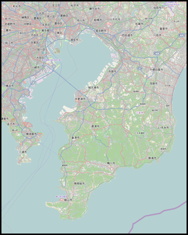
Wiki says: The Tokyo Bay Aqua-Line (東京湾アクアライン), also known as the Trans-Tokyo Bay Highway, is a bridge–tunnel combination across Tokyo Bay. It connects the city of Kawasaki in Kanagawa Prefecture with the city of Kisarazu in Chiba Prefecture, and forms part of National Route 409. With an overall length of 14 kilometres, it includes a 4.4 kilometre bridge and 9.6 kilometre tunnel underneath the bay—the fourth-longest underwater tunnel in the world. At the bridge–tunnel crossover point, there is an artificial island called Umihotaru (海ほたる Umi-hotaru, literally meaning "sea firefly") with a rest area consisting of restaurants, shops and amusement facilities. Air is supplied to the tunnel by a distinctive tower in the middle of the tunnel, called the Kaze no Tō (風の塔, "the tower of wind"), which uses the bay's almost-constant winds as a power source. The road opened on the 18th of December 1997 after 23 years of planning and 9 years of construction at a cost of 1.44 trillion yen (11.2 billion USD at the time of opening).
The Tokyo Bay Aqua-Line reduced the drive between Chiba and Kanagawa, two important industrial regions, from 90 to 15 minutes, and also contributed to cutting the travel time to the sea leisure area in the southern part of the Bōsō Peninsula from Tokyo and Kanagawa. Before the tunnel opened, one had to drive around about 100 km along the shores of Tokyo Bay and pass through downtown Tokyo. One goal expressed during the planning of the Aqua-Line was to reduce the traffic through downtown Tokyo, but as the highway toll is quite high, the reduction in Tokyo traffic has not been as great as expected. Bit of a wow.   Next, I make out a tug-and-tow, more silt and a
chum that looks like she is drawing a line behind
her.
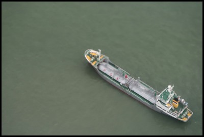 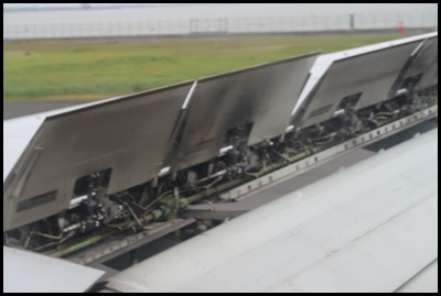 Ooo a chum close too, then, within a
trice we are on the ground. The first time in our lives we get off, walk to the
terminal, sit down only to wait half an hour before we get back on the same
plane a few rows further back............
When we flew in from KL we landed at Narita Airport, this time we landed at Haneda which (Wiki says:) handled 75,316,718 passengers in 2015; by passenger throughput, it was the third-busiest airport in Asia and the fifth-busiest in the world, after Hartsfield-Jackson Atlanta International Airport, Beijing Capital International Airport (Asia's busiest), Dubai International Airport, and O'Hare International Airport. It is able to handle 90 million passengers per year following its expansion in 2010. With Haneda and Narita combined Tokyo has the third-busiest city airport system in the world, after London and New York City.
We look out over a very grey Tokyo but can just make out the Tokyo Skytree (in the centre of the picture). ALL IN ALL AS EFFICIENT AS
THE TRAINS
BEAUTIFUL SUNNY
DAY |
