SL Galle Bimble 1

|
Our First Bimble in Galle, Sri Lanka
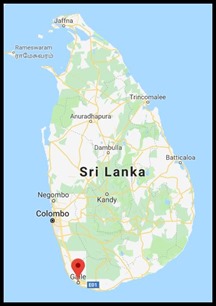 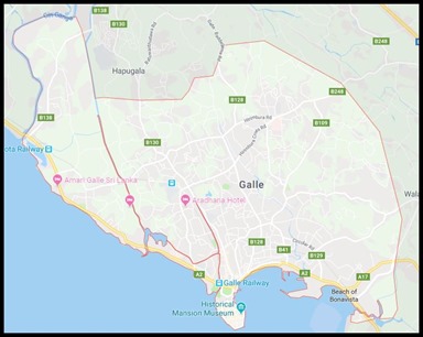 The seaside
town of Galle has grown over the years, a popular
weekend away for people living in Colombia (seventy-one miles away) and there
are many holiday homes. The city itself has
a population of around ninety-one thousand. In Galle Fort area there are still
descendants living here today who trace their heritage back to Arab merchants
and make up the Sri Lankan Moor minority.
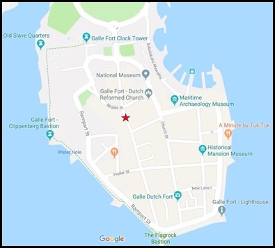 We
came to the fort area, the heart of Galle’s history and our digs (red star) are
perfectly placed to explore. After breakfast we headed toward the sea to bimble
everything on the right side of the map.
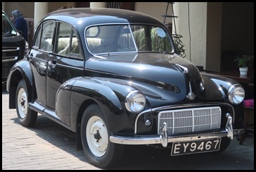 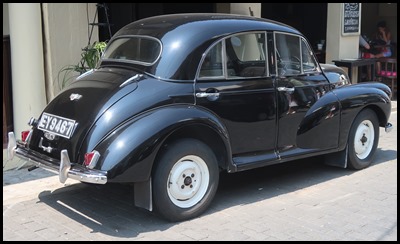 Around the first corner, a surprising
little beauty.
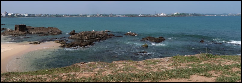
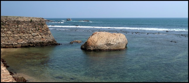 The sea and our first look at an original fortified wall.
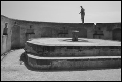 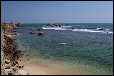 The trigger finger
was out but no cannon. We followed the
wall.
       The walled city has stood since the early sixteenth century, through the Colonial periods of the Portuguese, Dutch and British and now is proclaimed as an Archaeological Reserve, also as a living World Heritage Site.
The etymology of the name Galle is an altered form of the Sinhalese word gala, for rock, which the Portuguese duplicated by adopting the Latin word: gallus, for rooster. In 1716 the coat-of-arms of the city became a rooster standing upon a rocky perch. The Portuguese captured Galle from the Sinhala kings in 1587 and erected the first fortification, a single wall fronted by a moat which extended from the sea to the harbour. The Dutch landed in 1640 with twelve ships and two thousand men under the command of Wilhelm Jacobsz Coster who defeated the Portuguese after severe fighting and a four-day siege. The Dutch later converted the Portuguese “fortalezza” into a single bastion which they named Zwart Bastion and built a formidable line of defence, ringing the walled town by ten bastions, happily standing today. Two hundred years ago a storm-water drainage system was introduced which prevented flooding in the Fort. It was so sophisticated as to have great brick-lined, underground drains, which were automatically flushed twice a day by the tide.
The Galle Lighthouse, or Pointe de Galle Light as it was also known, was the very first light
station to be built in Sri Lanka. Dating
back to 1848; the lighthouse was built by the British to ensure the safe arrival
of their ships at the Galle harbour. This original structure stood 24.5 m tall
(80 feet) and was located at a site approximately 100 feet from the current
lighthouse. Its light was made with a prism lens of glass, which floated in a
bath of mercury (to reduce friction); and was powered by a weight driven
machine. This lighthouse was destroyed in 1934.
The current lighthouse structure was built in 1939; erected within the walls of the ancient Galle Fort with a height of 26.5 metres (87 feet). The light station stands at a strategic location at the southern end of the promontory; built approximately six metres above the road level on the ramparts of the Fort, at a place known as the Point Utrecht Bastion. This affords it an undisturbed view across the seascape; and allowing any incoming ships to see its light. The lighthouse is operated and managed by the Sri Lanka Ports Authority. The lights work through a computerised system which allows the foremost light to switch on every night and switch off in the morning. Visitors are not allowed to climb the lighthouse.
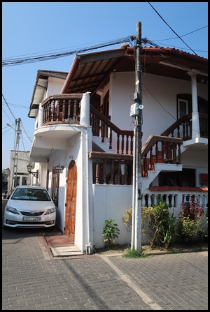
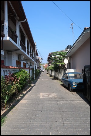
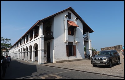
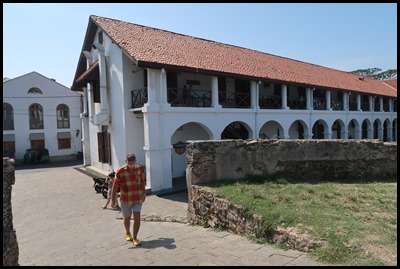
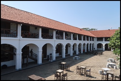
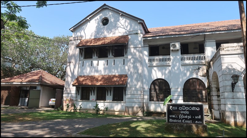
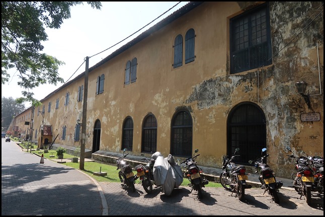
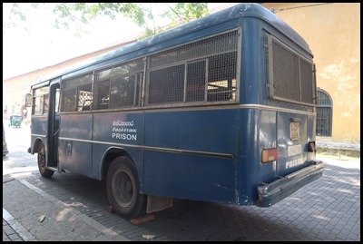
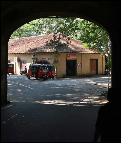
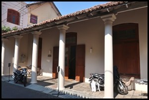
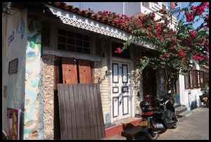
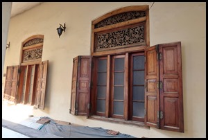
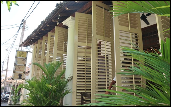
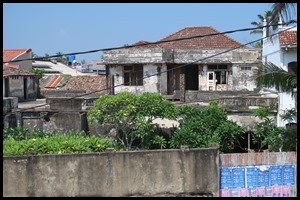
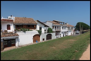
Despite recent face-lifts and new facades to many of the houses and the introduction of modern civic amenities like electricity, telephone systems, water and drainage services, the streets remain narrow and many are known by their original names such as Leyn-Baan street, Zeeberg street and Moderabaay street. A look into the old houses shows them to be spacious and airy, with large, ornamental doors and windows, pillared verandahs, inner courtyards and gardens. Bimbling around Galle reminds us so much of an old Cornish town holding a step-back-in-time feel with an atmosphere of the past. Here are our pictures from today.
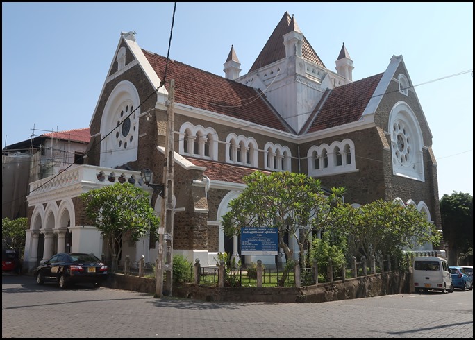
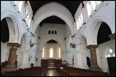
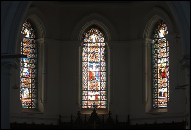
All Saints Church has stood here since 1871. Prior to this there was a Courthouse and it is believed the gallows stood where the altar is now situated.
Church Street. In the Dutch period named Kerkstraat after a church was pulled down in the 17th century. Dutch Reformed services were then held in the Great Warehouse, at the most western part of the first floor.
ALL IN ALL SUCH A GORGEOUS LITTLE PLACE A FASCINATING AND VERY FRIENDLY AREA |


