To Whitehaven Bay

Beez Neez now Chy Whella
Big Bear and Pepe Millard
Sun 29 May 2016 22:37
|
To Whitehaven Bay, Whitsunday Island
 We got up this morning in our bay.
 We left at half past eight, maybe the
only time we’ll say we parked in an unsurveyed area.
The line at the top by Beez was our track in – many bommies to two point eight
metres below, (quick reverse back out into nine) further in a steady reef.
Todays course line would have been fine but I chose to leave turning slightly
more right.
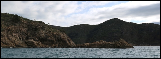 The far end of the
bay (on the left), close to but in ninety feet of water.
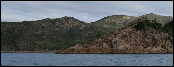 Just around the
corner and a hundred feet.
 The next bay was a
smaller one than the one we stayed in but do-able.
  The gap looked narrow, but in reality there is a mile
between Shaw Island on the left and Mansell Island on the right.
 Through the gap between
Shaw and Gaibirra islands we could see Linderman
Island.
 The southern end of Maher Island had a split.
 The northern end had a great name Jesuit
Point.
 The knobby bit at the end..........
 .......... round the corner – Jesuit Point, with
Pentecost Island coming into view on the right.
 Pentecost Island,
highest point two hundred and eighty eight
metres. The Whitsundays were discovered by
Captain Cook when he sailed through the islands on the Whit Sunday of
1770. He named the major island Whitsunday and the group the
Northumberland Group, after the Duke of Northumberland, brother of King George
III. Later explorers named other islands after various towns in the Lake
District of Cumberland – Keswick etc.. Many islands were not named until the
1900’s – Brampton in 1924, before then it had been simply known as M1.
 The view behind
us.
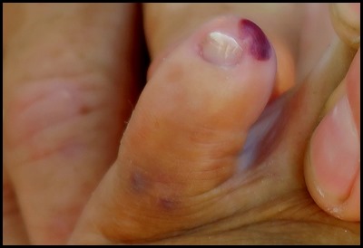  Thank you for asking how my little toe is....... sore, sore, and
sore, poor little bruised thing wearing its black
beret set at a jaunty angle. I thought I would sort out the split toenail.
Lined up the scissors, only to shut flesh in
the handle end. Mmmm. Gritty eye, on inspection burst vessel. I may just shrug
and get on with my navigator role, it’s more reliable than the rest of
me.
  Away to our left - on the map we could see Surprise
Rock........surprise, if you’re bowling along at six and a half knots and
smack, surely a better name would have been Shock Rock. We can only hope that
the chap who drew it on the original map hadn’t just drunk his daily ration of
half a pint of grog...... The opening to the
Solway Pass began to widen as we got nearer.
 Tower blocks away to our left on Hamilton Island seemed out of place.
 The final half
mile before the pass was a bit of a washing machine.
 Washing machine to little wiggles with an interesting current.
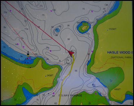 Bear’s
IPad. I went for the twenty metre line but skirted the very edge of the
shallow with two point eight below, a tiny movement to the right and back in
over thirty. Clearly the sand pile had moved right a bit.
 Behind us ‘the door
closes’.
 Round the corner, off the shallow bit,
twenty eight below and wow, the beach of Whitehaven
Bay is really white.
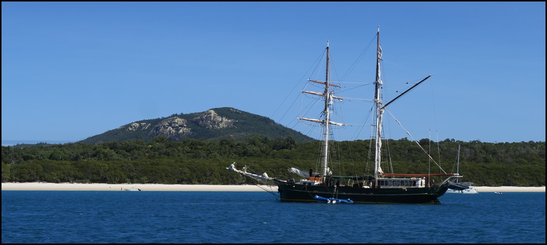 We sneak over a narrow bit of six
metres, back into thirteen and gradually shallow beyond this attractive lady and find two point eight to anchor in at
twenty past eleven. Glorious sunshine, this is going to be a special
stop.
ALL IN ALL ANOTHER
MILESTONE
AMAZING NUMBER OF SMALL
ISLANDS |