Remarkable Cave

Beez Neez now Chy Whella
Big Bear and Pepe Millard
Fri 15 Jan 2016 23:27
|
The Remarkable
Cave
 Maingon Bay
from the road.
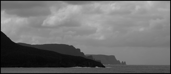 We settled in the car park and had our
breakfast. The furthest cape is called Dauntless
Point.
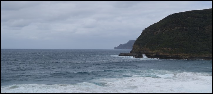 Looking across Maingon Bay and out into Raoul
Bay.
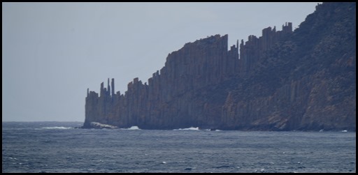 The sign said: On a clear day, you
can see Cape Raoul in the distance with its tall
pillars of dolerite rock rising from the sea. Dolerite columns are common
features throughout Tasmania. They formed during the age of the dinosaurs, as
molten rock cooled slowly just under the surface of the earth, often cracking
into long polygonal columns. Cape Raoul’s dolerite columns are partly drowned by
the sea.
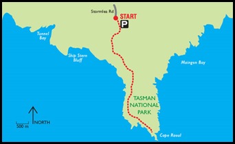 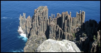 The next bit of the information board
had Bear cringing.
There is a five
hour return walk to the Cape [one of Tasmania’s listed ‘Great Short
Walks’], which departs from the end of Stormlea Road [off Nubeena Road], and
rewards you with spectacular views along this dramatic coastline, including
Tasman Island and Bruny Island. But beware – the Cape
is subject to strong winds. [I had to borrow the view from
Walkweb].
 Definitely no walking
to the end for the view ??? No. No way, not
likely. Just checking. We settled to the task of bimbling from Mabel
and following the short track to see the Remarkable Cave.
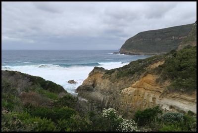 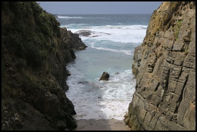 The view from the
track and to be honest the wind was howling and bitingly cold. We went
down the first two sets of steps and were nearly blown off our feet by a gap in
the rocks. We took this picture and hurried on down
the next set of steps.
Looking up
and down from the walkway at the bottom of the
track.
The sign said:- For thousands of
years this section of coastline has been exposed to the sea’s erosive power.
Strong south-westerly winds generate pounding waves that attack weaknesses in
rock and erode the coastline, forming arches, blowholes, beaches and caves.
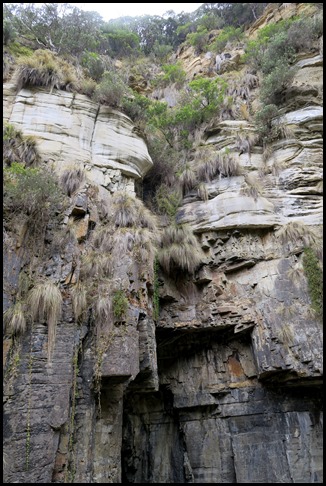
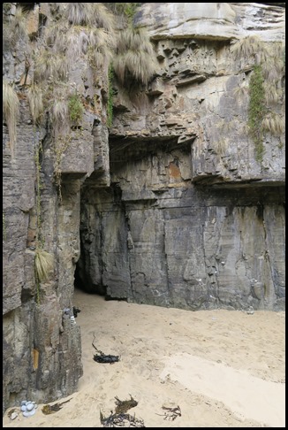
You are standing at the back of
Remarkable Cave. Above you was part of the cave’s roof which collapsed long ago
– its debris washed out to sea, save for the few large boulders and sea-smoothed rocks beneath you. Straight ahead lies the
remaining long cave tunnel leading out to sea.
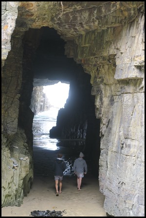 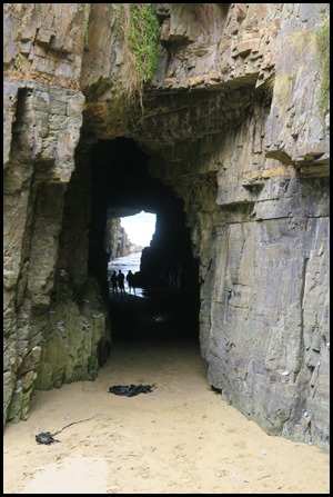 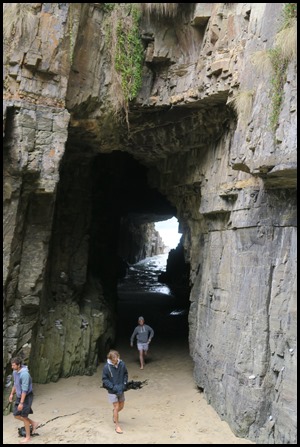 We watched as three young chaps – who had climbed over the railings and jumped
down onto the little beach, wander into the cave, pose, but soon made a hasty
retreat when a big wave came in.
Dolerite meets sandstone: The
cave is made of different types of sandstone, which were formed as sand
particles settled on broad, windswept plains over millions of years, compacting
to become rock. Some of these sandstones have been distorted and folded by
earthquake activity, creating fractures along which the cave tunnels have
formed. Nearby is another younger rock called dolerite. Dolerite formed deep
inside the Earth, beginning as molten rock, during the age of the dinosaurs. It
was then forced toward the Earth’s surface and injected into the sandstones,
where it cooled to become dolerite.
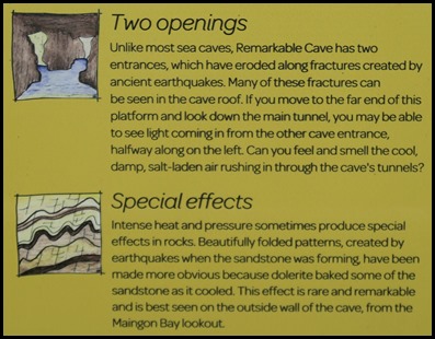 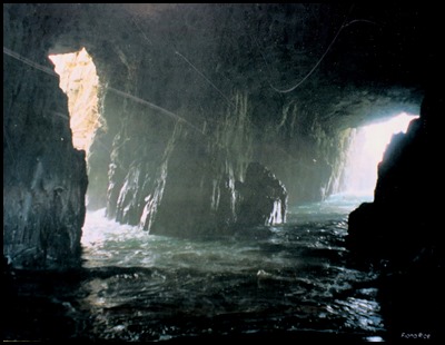 The rest of the
information on the board.
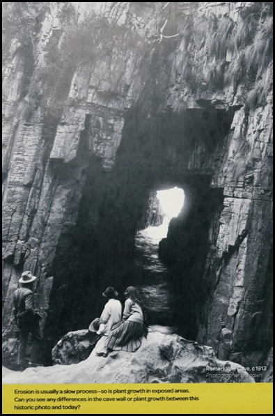 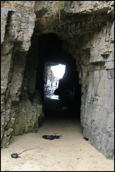 Circa 1919 and today.
Surprisingly, not much has changed.
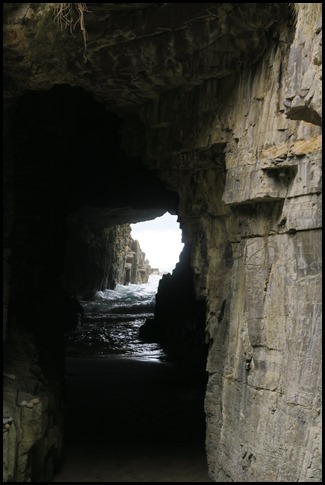 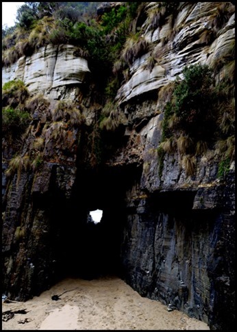 We were told to
look for Tasmania silhouetted at the end of the
tunnel. I can see it. Darkening the next
image did the trick.
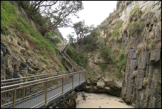 We headed up
the first set of stairs to the windy
bit.
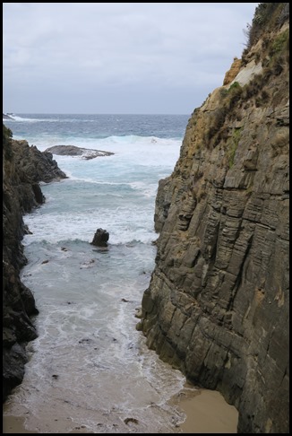 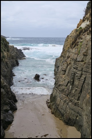 We stood and
watched waves coming in and out for a short while, until we were really
cold.
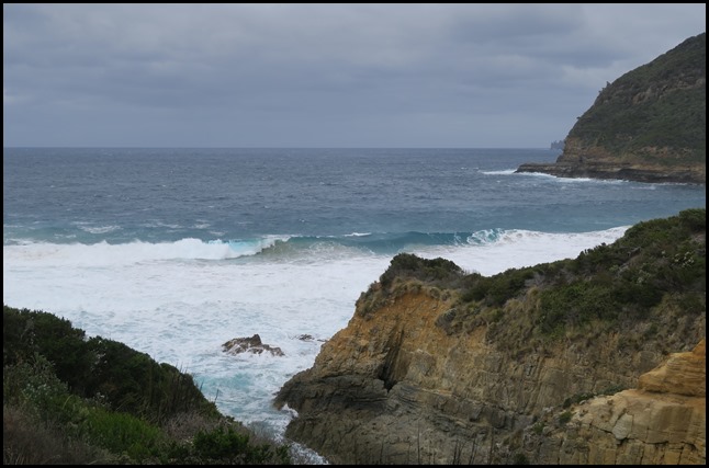 Then we made a
dash for Mabel, one quick look at the view on the
right, to sit in the warm and wave watch on the left of the
bay.
ALL IN ALL EXPECTED A TINY
BIT MORE GIVEN THE NAME
‘REMARKABLE’ TO SEE THE MAP OF
TASMANIA |
