L.I. Cook's Lookout

Beez Neez now Chy Whella
Big Bear and Pepe Millard
Wed 6 Jul 2016 22:57
|
Lizard Island - Cook's
Lookout
  By nine o’clock we were parking
Baby Beez next to Little Bamboozle on the beach and walking to
the start of the track for the hike (cannot possibly call this one a
bimble) up to Cook’s Lookout. Along
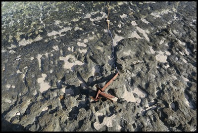
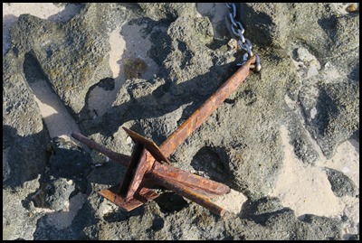
the shore we walked over old reef that had a very old anchor
but shiny chain attached, mysterious.
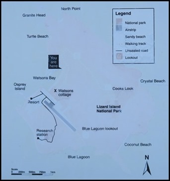 The sign
read: The steep, at times extremely difficult, track to the summit
(359 metres) follows the footsteps of Lieutenant James Cook who visited Jiigurru
(Lizard Island) in 1770.
The lower section of the track
traverses sloping granite slabs with rough-cut steps in places. In Spring, look
for the distinctive kapok trees with fluffy seed pods. About half way, you can
rest in a grove of shady acacias and eucalypts. Look for, but don’t disturb
golden orchids growing on the rock faces.
Toward the summit, the woodland
gives way to a steep ascent through grassland and rocks. From the summit you be
rewarded with spectacular 360 degree views over the reef. Return along the same
track, taking great care. The steep descent, drop-offs and loose surface can be
hazardous, especially in wet weather when the track may also be slippery.
Rightee-oh then.
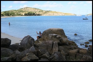 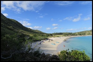  Bear sat
to put his shoes and socks on, I of course was wearing my trusty 4x4 Croc flip
flops (those of the Caldera hike on Isabella in the Galapagos and the volcano on
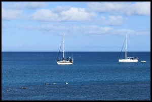
Tanna). Within minutes we were looking down on the day
trippers here for breakfast on the beach and a couple of hours
snorkelling, and on Beez Neez.
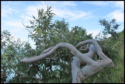 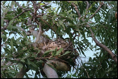 A thoughtfully placed eucalypt
provided a good hand hold, a great shape and a nest for someone.
 The boats were getting smaller and
the view more jigsaw box lid all the
time.
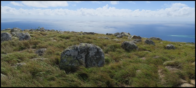
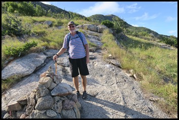 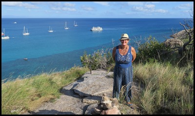 A photo opportunity by a rock mound.
The ‘we were here shots’. The summit a very long way
away.
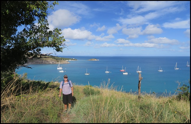 The first grassy
bit.
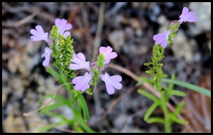 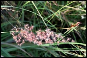 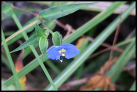 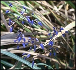  We saw no golden orchids but these
were the plants that caught our eye.
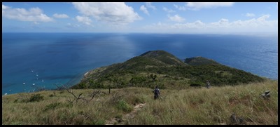
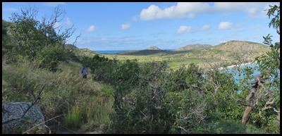 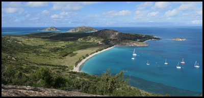 The next
grassy bit gave us quite a view.
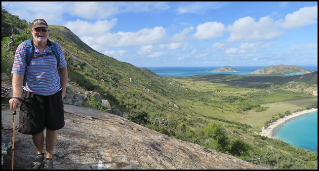 Then we had to cross a humungous granite slab.
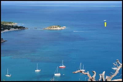  We stood on the slab and watched an
plane coming in.
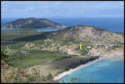 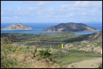 Over the
runway and safely on the ground.
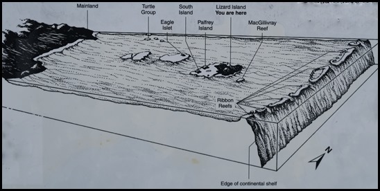 The sign
read that we are standing on part of the largest barrier reef in the world,
extending 2300 kilometres along the Queensland coast. This collection of of many
islands, fringing reefs, outer reefs, cays and lagoons is one of the few natural
formations that can be seen from the Moon.
Lizard Island was once part of
the mainland. Known as the continental island, it was separated from the
mainland when sea levels rose at the end of the last Ice Age. Today Lizard
Island, like other islands in the Lizard Group, is surrounded by a fringing reef
which rises from a depth of about twenty metres. The fringing reef on the
eastern side of Lizard Island meets the fringing reefs of Palfrey, South and
Seabird Islands, enclosing the waters between them to form Blue Lagoon. Lagoons
are not usually associated with continental islands.
Twenty kilometres to the east,
the Ribbon Reefs form a broken barrier along the edge of the continental shelf.
Beyond the shelf, the sea plunges over two thousand metres into the Coral
Sea.
The Great Barrier Reef is
protected as a marine park where many different activities are managed. It was
inscribed on the World Heritage List in 1981 to be protected for all time.
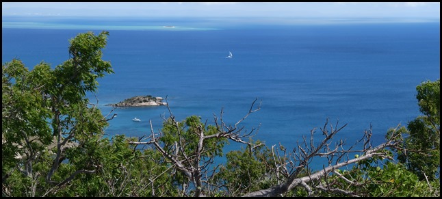
 MacGillivray
Reef was clear to see from our vantage point.
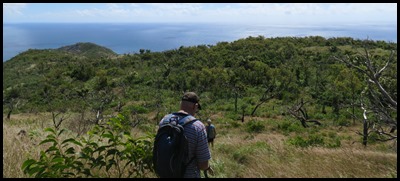
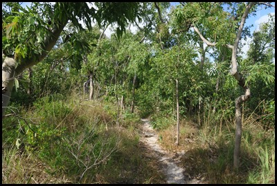  Next, was the
wooded area, at the end we met Jamie and Lucy (Bamboozle) on
their way down. After chatting for a while (and them being impressed by my 4x4
flip flops) we set off once more and absolute disaster – my
trusty friend on the right had a blow-out.
Colour me terribly unhappy. Bear had been carrying my shoes – just in case the
boulders had been too much for my trusty's, I hope we hadn’t put the bockers on
them.
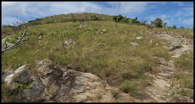 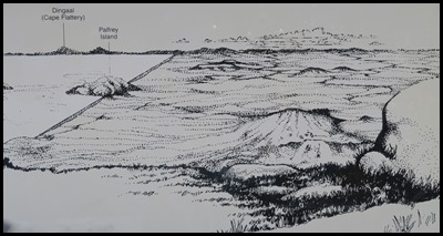 I promised my dear old friends I
would make it to the top, just the steep rocky bit to do
then......... The first big rock I sat to get over the whole business,
Then at the next sign which read: If you stood
here during the last Ice Age, about 10,000 years ago, you would have seen grassy
plains and sand dunes stretching from this “mountain”, Jiigurru (meaning
initiation place), to Dingall (Cape Flattery) on the mainland. Twenty kilometres
behind you to the east, the plain sloped gently into the sea. This was the
country of the Dingaal Aboriginal people.
Nine thousand years ago, the sea
level began to rise. The coast (and the Dingaal people) retreated to the present
day Cape Flattery and the Jiigurru became an island, a distance of about 25
kilometres. They came for food – wild yam, seagull eggs, shellfish, dugong and
turtle. They also came for ceremonies, initiations and meetings between Elders
of different clan groups.
When Europeans settled the
mainland in the 1880’s, the Dingaal were moved to a mission.
Today, the connection between the
people and their country is rebuilt. Elders advise on management of this island,
Jiigurru, and help visitors understand their cultural places.
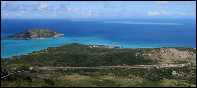 A little hard to picture with the
airstrip in view...........pretty though,
nonetheless.
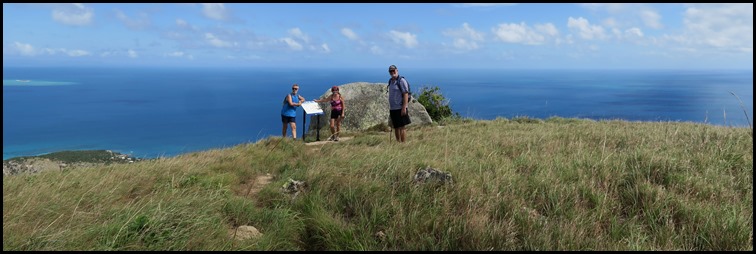 Val and
Richard (Kereru) caught us up at the sign, sympathies for my
trusty flip flops.
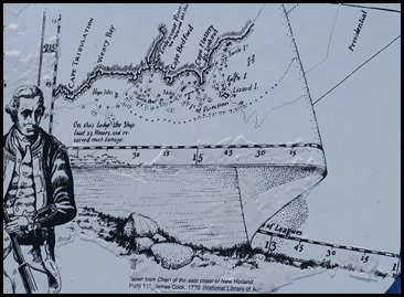 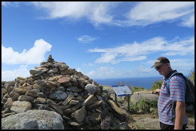 Cook’s
Lookout
With small boats
constantly ahead, sounding and reporting, the Endeavour crept north
along the coast until she once again rounded up to anchorage, this time off
Lookout Point on the mainland. Here, Cook went ashore to scan the horizon from
the hill (thus the name Lookout Point) and sent a party ahead in a small boat to
scout around the Turtle Group. Meanwhile, together with Banks and a crew, he
took the Pinnace across to Lizard Island, where they climbed the
mountain and “perceived a passage” through the outer reefs. He sent the
Pinnace out to investigate, and the party spent the night on the island, where
large lizards were noted – hence the name.
Returning to
the ship the next day, they stopped at Eagle Island where they saw large eagles,
a huge nest and recently eaten turtles. While on Lizard, Cook noted that
“Indians obviously visit the island from time to
time”.
Lieutenant James Cook navigated
through dangerous waters of the Great Barrier Reef in August 1770. Caught in a
labyrinth of reefs off Cape Flattery, Cook was “......altogether at a loss
which way to steer”.
He climbed to this high point on the
island only to find “a reef of rocks.... extending farther than I could see,
upon which the sea broke in a dreadful surf”. Cook noticed a narrow break
in the reefs which offered an escape to the open sea. Today that channel is
called Cooks Passage.
However Cook’s troubles were not
over. Light winds, huge swells and the unfathomable depths of the Coral Sea put
the Endeavour in danger of being washed back onto reefs. “The large waves of
the vast ocean meeting (the reef) makes the most terrible
surf, breaking mountains high........”
Further north, Cook steered through
Providence Channel, “happy once more to encounter those shoals which were
but two days ago our outmost wishes were crowned by getting clear of
.....”
Along with detailed and accurate
charts of the coast, Cook left a legacy of names such as Cape Tribulation and
Cape Flattery. On naming Lizard Island, Cook’s log reads “The only land
animals we saw here were lizards..... which occasioned my naming the island
Lizard Island”.
We pictured James Cook in his blue
serge, stockings, buckled shoes and white hankie. What a man.
 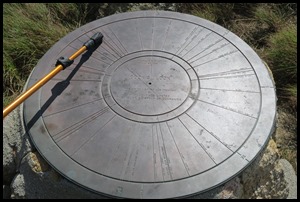 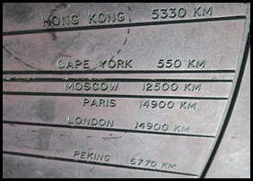 Bear stands by the
Lookout, points to London at 14900 kilometres away.
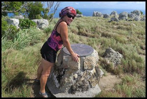 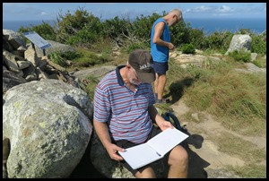 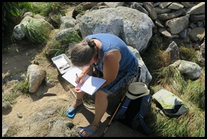 Val poses,
Bear reads the Visitor’s Book as Richard explores and
I fill in our details. We enjoyed
the views and then back the way we came (me in ‘proper shoes’ that my feet hated
every inch of the way).
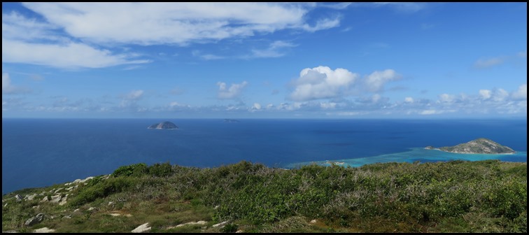 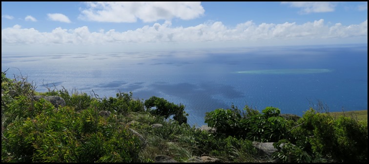     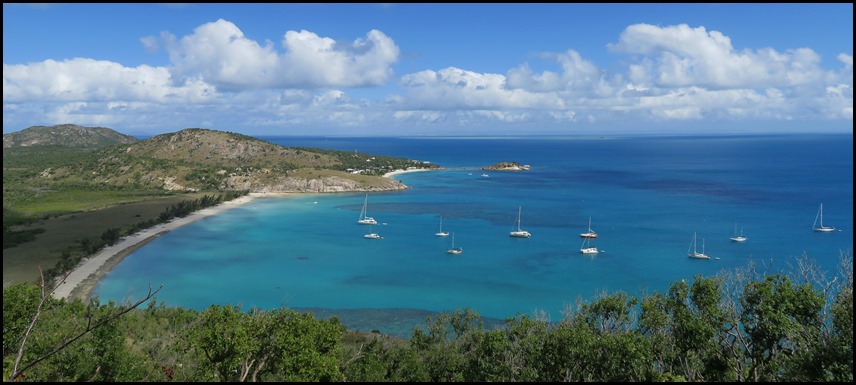 ALL IN ALL STUNNING
SCENERY
FABULOUS VIEWS, WELL WORTH THE
HIKE |