To Hastings

|
To
Hastings 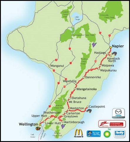 A longer day than usual ahead from Wellington to Hastings, not the Hastings I spent so many
childhood Sundays and in so many years swam twice. Once I swam at Easter and the
following years there was five inches of snow....... We got up and got going by
nine. Really, really heavy rain. The plan had been to go to Cape Palliser –
bottom right corner, but the wind was forecast to be up to sixty knots, scrap
that and stop at the “the biggest steam train collection in the world.” Big
promises came over our radio tour guide. Quick detour only to find it closed.
Off again and out into the countryside which rose steeply.
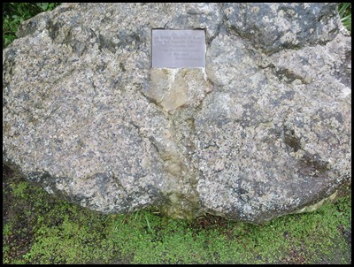  A lookout point, became out first proper
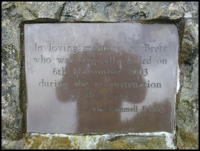
stop. Sadly beside us was a memorial set in a huge
boulder, it read:- In loving memory of Brett who was tragically killed on
6th November 2003 during the reconstruction of this road. How very
sad but what an incredible road it would turn out to be.
   A land of towering trees, ferns and clear
water. Kaitoke, a largely untouched rimu, rata and beech forest remnant is one
of the best examples of lowland native forest in the region. The Tararua Ranges
and valleys are the source of almost half the water used in the region’s cities.
Water is taken from the Hutt River for immediate treatment, while a reserve of untreated water is maintained in lakes here at
Te Marua. The lakes, pumping station and treatment plant are on river
terraces surrounded by gentle, accessible hill country.
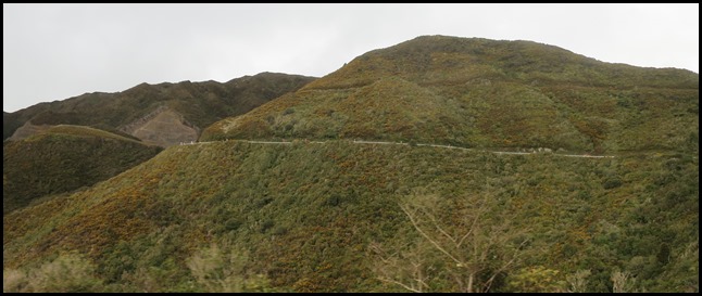 We rose steeply after our stop, on the next
hill we could see where the road snaked
upward.
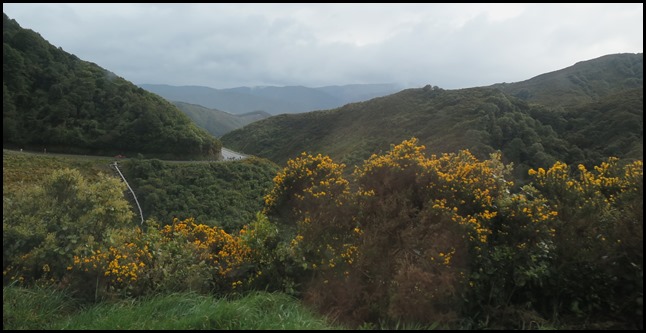 Looking back.
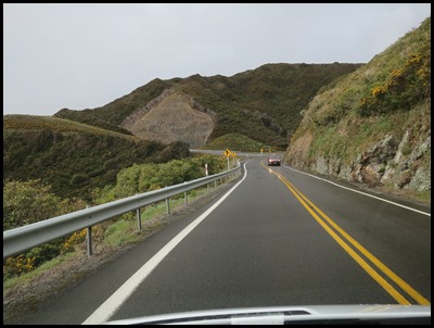 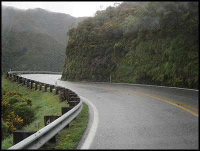 Upward.
 Then downward.
  Once on
the flat we went through a few little
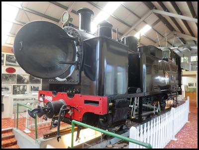
towns. The first was Featherston. There we visited
the Fell Railway Museum. We saw the last surviving Fell
locomotive in the world, one of six designed for New Zealand’s famous Rimutaka
Incline. One in thirteen on the three mile incline between Cross Creek and
Summit. The journey down up to three brake vans were placed behind the Fell
locomotive, one in the middle of the carriages and one at the back, each with an
Incline Guard who tightened the brake on the central rail on the steep bit. One
journey down meant a brake shoe worn, clearly own blog
needed.
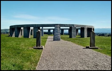
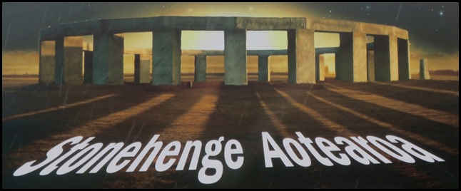 Listening to Tourism Radio, as we do, Stonehenge
was mentioned – they have one here. We left the main road and went for five or
six miles until we saw the entrance. There in the pouring rain at the gate was this advertisement.
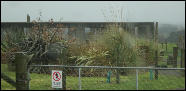 It was raining so hard and neither of us fancied getting soaked, so we took this picture and found out a little about it later on.
Stonehenge Aotearoa, was built by members of The Phoenix Astronomy Society and is located near Carterton, it is a modern adaptation of the Stonehenge ruins on Salisbury Plain. This ‘henge’ contains twenty four pillars and is ninety eight feet in diameter and about thirteen feet high. The pillars are capped with lintels, completing the circle, and a sixteen foot-tall obelisk marks the centre of the henge. The modern henge was designed to demonstrate how ancient peoples used such constructions to understand astronomy. Since Stonehenge Aotearoa is at a different latitude and longitude than the original Stonehenge, it is not an exact replica—some measurements had to be changed to preserve certain astronomical properties. Its design was inspired not only by the original Stonehenge, but also by navigational and astronomical techniques of Polynesia and of the New World. Stonehenge Aotearoa also differs from its Salisbury cousin in construction; the pillars, lintels and central obelisk are not hewn stone, but are hollow structures with concrete moulding forming their exterior. It was intended to generate revenue for The Phoenix Astronomy Society to raise money for the Matariki Research Observatory. Mmmm. Having been to the real thing........
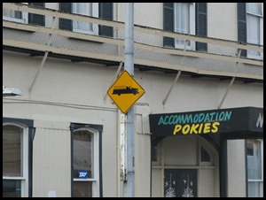
One little town had an amazing show of spring flowers up the middle of the road and who wouldn’t want to stay at Pokies.
Our next stop was in the tiny town of Eketahuna, just because we loved the name. London, New York, Paris and ............................Eketahuna, own blog.
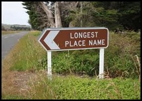
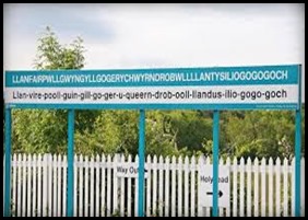
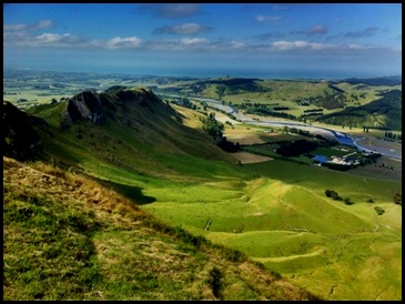
The scenery was pleasant but nothing extraordinary until Tourism Radio chirped up that the longest place name was nearby, but we thought it was that village in Wales. Llanfairpwllgwyngyllgogerychwyrndrobwllllantysiliogogogoch. No that has only fifty eight letters.......... Taumatawhakatangihangakoauauotamateaturipukakapikimaungahoronukupokaiwhenuakitanatahu is the Māori name for a hill, 1,001 feet high, close to Porangahau, south of Waipukurau in southern Hawke's Bay. The name is often shortened to Taumata by the locals for ease of conversation, just as well.
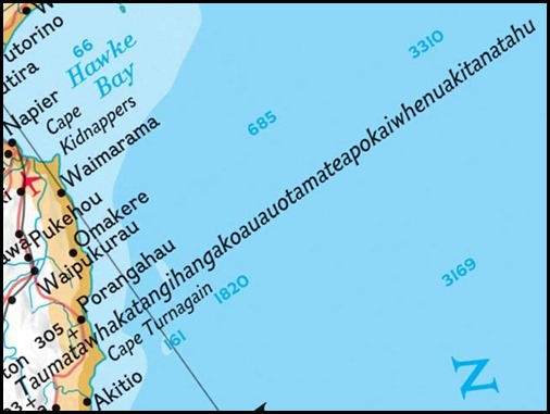
The name that marks the hill on a sign - Taumatawhakatangihangakoauauotamateaturipukakapikimaungahoronukupokaiwhenuakitanatahu, just to see if I could type it again, which translates roughly as "The summit where Tamatea, the man with the big knees, the climber of mountains, the land-swallower who travelled about, played his nose flute to his loved one". At eighty five letters, it has been listed in the Guinness Book of World Records as the longest place name. Well strike us down with a ducks tail feather.........Whatever next.
It does look good on the map though.
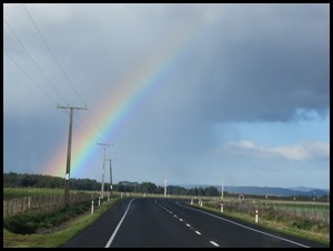
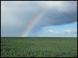
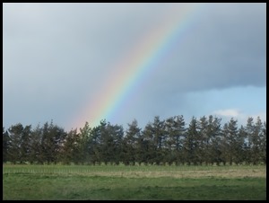
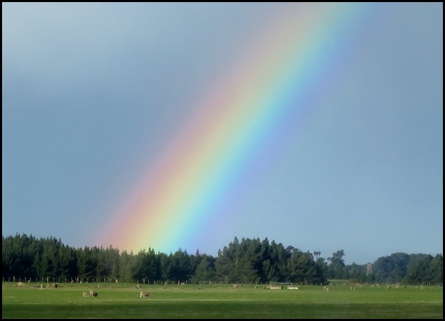
The remainder of our one hundred and ninety mile journey was through pastureland on the flat, wind in some places slowed us to a snails pace. The constant rain meant we had so many rainbows along the way until we pulled into our pretty campsite. I had a clean sweep of all our games so I retired to an episode of Game of Thrones quite contented. Huh. Don’t you huh. HUH.
ALL IN ALL A MIXED DO FROM MOUNTAINS TO PLAINS |

