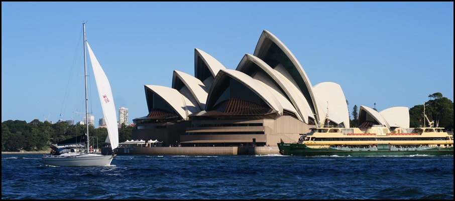
Darling Harbour

|
Darling
Harbour 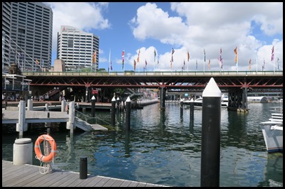 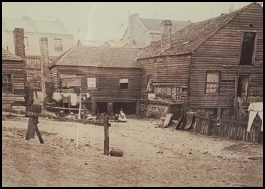 We jumped up
this morning and caught the bus, our plan – to visit the Maritime Museum. We
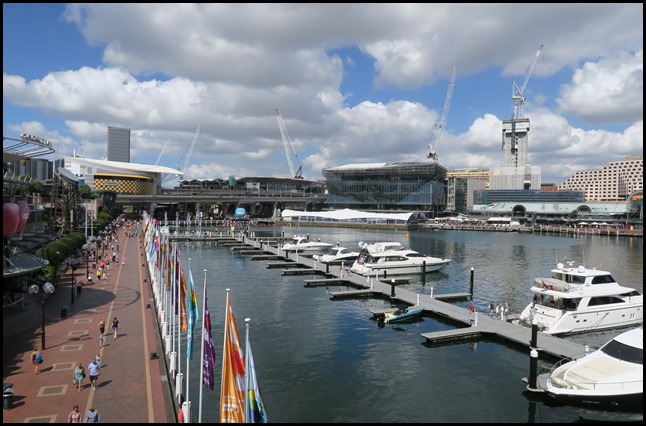
walked from the bus stop and ‘popped out’ on the opposite side of Darling Harbour
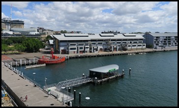
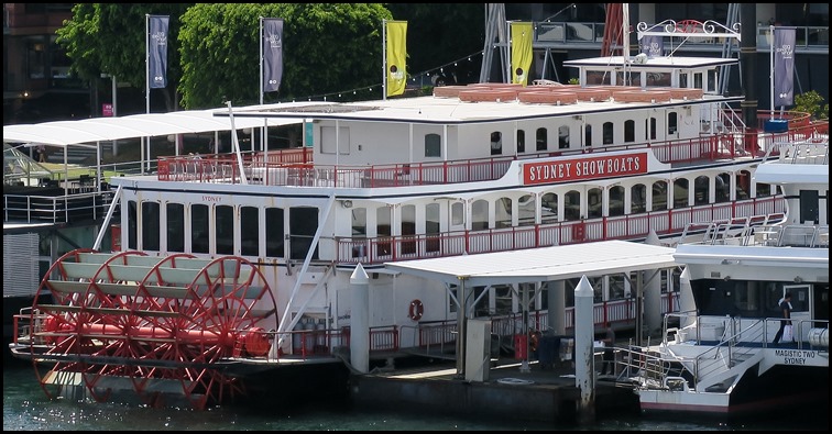
to the museum. It was lovely to walk along by the parked tour boats, the water
taxi stand and past Wildlife, Madame Tussaud’s and Sealife.We rounded the corner seeing happy flags
and found an information board. Wright’s Wharf 1875 –
These timber houses and stores, located to the east near Sussex Street, were
probably built in the 1820’s and 1830’s. By 1875 they were severely dilapidated
and when investigated by Sydney Council’s inspectors it was
reported:-
They were swarming with fleas and
bugs.... These buildings are quite unfit for human habitation and should be
pulled down..... The ground appears to retain the moisture, and in rainy weather
it oozes out from the floors. Another woman told us that she had buried two of
her children who died here two months ago.
The buildings were demolished, and
replaced in the 1880’s by the Corn Exchange, which still stands on the corner of
Sussex and Market Streets.
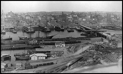 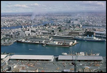 Darling Harbour in 1900 and 1958.
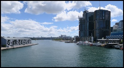
Darling Harbour is a large recreational and pedestrian precinct that is
situated on western outskirts of the Sydney central business
district. Originally Long Cove, the locality extends
northwards from Chinatown, along both
sides of Cockle
Bay to Darling Harbour
wharf on the east, and to the suburb of Pyrmont on the west.
Cockle Bay is just one of the waterways that makes up Darling Harbour, which
opens north into the much larger Port
Jackson. The precinct and its immediate
surroundings are administered independently of the local government
area of the City of
Sydney, by a New South Wales state
government statutory authority, the Sydney Harbour
Foreshore Authority.
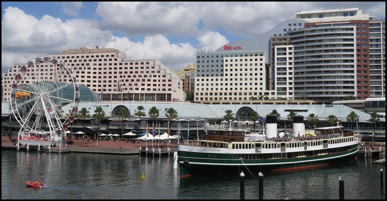
To our left. To our right (but still on the left of the bridge).
Darling Harbour is named after Lieutenant-General Ralph Darling, who was Governor of New South Wales from 1825 to 1831. The area was originally known as Long Cove, but was generally referred to as Cockle Bay until 1826 when Governor Darling renamed it after himself. The name Cockle Bay has recently been restored in reference to the headwaters of the harbour. It was originally part of the commercial port of Sydney, including the Darling Harbour Railway Goods Yard. During the Great Depression, the eastern part of Darling Harbour (Barangaroo) became known as The Hungry Mile, a reference to the waterside workers searching for jobs along the wharves. Much of the land had been the site of the NSW Railways central marshalling yards and freight consolidation centre. The Enquiry into the NSW industry, including rail/road competition (1978–80), under Commissioner Gavan McDonell, found that this centre was inefficient, should be moved, and the land used for other public purposes. These recommendations were acted upon and by the mid-to-late 1980’s, when the area had become largely derelict it was redeveloped as a pedestrian and tourist precinct as an initiative of then New South Wales Minister for Public Works, Laurie Brereton. The Sydney Convention and Exhibition Centre at Darling Harbour was a venue of the 2000 Summer Olympic Games and a key meeting venue of APEC Australia 2007.
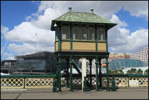
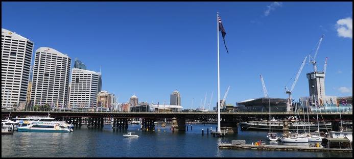
We crossed the bridge, walking past the Bridge Masters Office.
Bear by the bridge, (to our left the Maritime Museum).
To our right we could see the parked tourist boats. We last saw this working girl out at the start of the Sydney-Hobart Race.
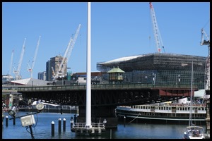
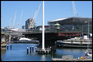
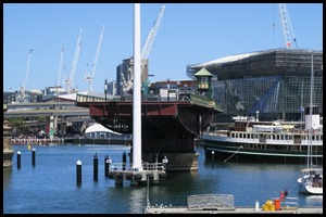
Pyrmont Bridge in Darling Harbour is one of the world's oldest surviving electrically operated swing bridges and replaced the first Pyrmont Bridge which began operating on the 17th of March 1858 - a wooden pile bridge with an iron centre 'swing panel' to allow ships to pass. In the first two weeks 20,000 pedestrians paid the one penny toll. It was also crossed by "932 carts and drays, 43 gigs, 17 carriages and 125 horse and rider." When the government bought the bridge for £52,500 from the Pyrmont Bridge Company in 1884, they abolished the toll. The wooden Pyrmont Bridge vanished with the construction in 1902 of a new steel bridge which took thirty three months to build and was completed in time to accommodate Sydney's first cars. Wiki says:- The foundation stone for the new bridge was laid on the 6th of December 1899 by E. W. O'Sullivan and the bridge was opened for traffic on the 28th of June 1902 by the Governor of New South Wales, Harry Rawson. The bridge was designed under the engineering supervision of Percy Allan. The bridge had one of the largest swing spans in the world at the time of its construction and it was one of the first to be powered by electricity. Allen also designed the similar Glebe Island Swing Bridge, completed in 1903. The Pyrmont Bridge is 369 metres long and cost £112,500 to build. The bridge is made up of 14 spans with Australian ironbark timber used on 12 spans, while the two central spans, which swing, are constructed from steel. The swingspan weighs 1,000 tonnes (1,100 short tons) and is supported on a base made from concrete and Hawkesbury Sandstone. The base is filled with mass concrete and weighs 6,800 tonnes (7,500 short tons). The swingspan is 13 metres in diameter and 19 metres deep. The water is 6.5 metres deep and the base extends a further 10 metres below the sea floor.
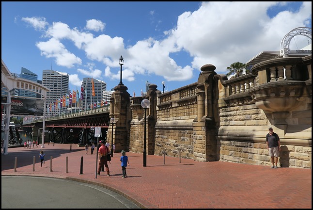
Pyrmont Bridge takes approximately sixty seconds to open completely to 83 degrees, (the Bicentennial Flagpole gets in the way of the bridge, somewhat). It has to be opened for vessels more than 7 metres high. Vessels/barges up to 21.5 metres wide can pass through the channel once the Bridge has been opened. Pyrmont Bridge is driven by the original two 50 horsepower (37 kW) 600 V DC General Electric type 57 electric motors. Manual drum-type General Electric tramway controllers are used to drive the motors for the swingspan and gates. Power to operate the bridge was originally drawn from the Ultimo Power House (now the Powerhouse Museum). As a young engineer, J.J.C. Bradfield (of Sydney Harbour Bridge fame) helped design the sandstone abutment walls at each end of Pyrmont Bridge. In 1981 the Wran government ordered the bridge to be demolished, but later revoked this decision. The bridge was closed to vehicular traffic on the 7th of August 1981, the traffic having been diverted over the Western Distributor freeway structures built further south of Cockle Bay, and it was then re-opened as a pedestrian bridge as part of the re-development of Darling Harbour as a recreational pedestrian precinct. The swing bridge remains in operation, and opens to a schedule managed by the Sydney Harbour Foreshore Authority. In 1992 Engineers Australia recognised the bridge as a National Engineering Landmark. Between 1988 and 2013, the bridge carried the elevated Sydney Monorail, which travelled between Darling Harbour and the Sydney central business district. The monorail track rested on a pivot that allowed the track to remain stationary while the bridge swung underneath. The pivot allowed the monorail to continue to cross the bridge even when the bridge was opened. Upon the closure of the Monorail in June 2013 the hydraulic lifting rams and support infrastructure were removed, and the control cab was to be relocated to its original position in the middle of the bridge.
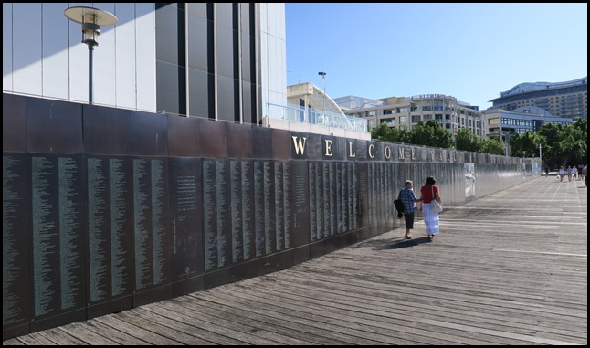
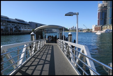
After our smashing time spent in the Maritime Museum, we walked to the ferry dock passing the Welcome Wall. For $150, families of migrants are invited to nominate a descendant who has permanently settled in Australia. A description (of up to one hundred and fifty words) is catalogued in a book held in the museum. Twice a year new panels of names are unveiled with ceremony. One of histories great migrations with more than six million people crossing the world to make Australia home.
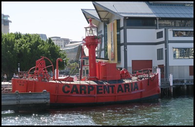
We bimbled down to the ferry stop, pinging our Opal bus tickets in payment. Behind us Carpentaria Lightship CLS4, a lightship built to guard Merkara Shoals in the Gulf of Carpentaria, periodically moved to Sandy Cape in Queensland. She is one of four unmanned lightships built in 1916 and 1917 on Cockatoo Island here in Sydney Harbour using an acetylene light and signal bell. Her length 21.94, width 8.5 and draught 2.74 metres. She weighs 164 tonnes and she has no engines. Lightships were used in places where lighthouses cannot be built. Carpenteria retired in 1985 having spent her last two years as a traffic separator in the Bass Strait. Lightships or as they are now called Lightvessel Stations are still in service especially along the South East coast of England, the Channel and on the East Coast of America. Where possible they have been replaced with Lanby Buoys which cost a tenth of annual maintenance of a lightvessel, (in 1974 thirty thousand pounds). They remain unmanned but now use solar power and in many cases double up as weather stations.
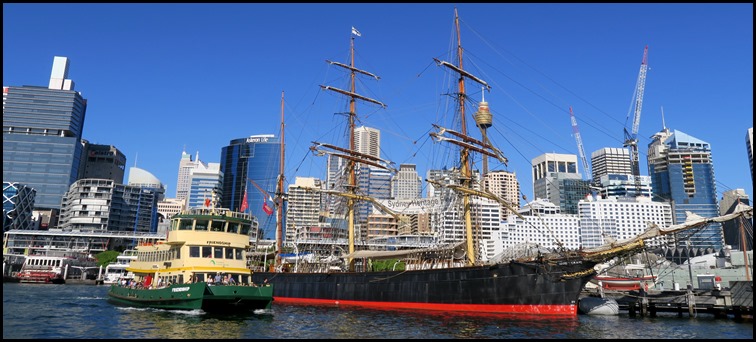
We watched as James Craig came in but it wasn’t until our ferry Friendship arrived that James looked huge.
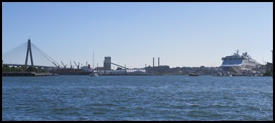
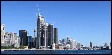
Off we went, a view of the Anzac Bridge and the skyscrapers around the harbour.
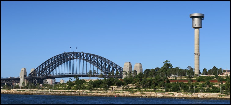
The Sydney Harbour Bridge came into view.
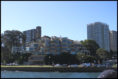
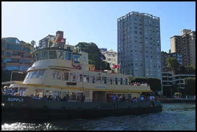
Poshest houses, then we waited for Supply to leave the next stop before we could at McMahons Point.
We passed Lavender Bay.
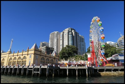
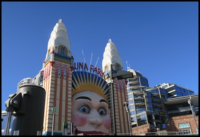
Next stop – Luna Park.
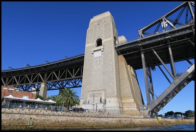
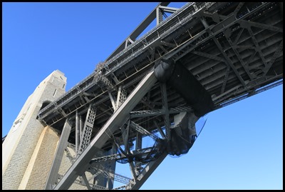
Under the Sydney Harbour Bridge........
...........and finally.
ALL IN ALL A VIBRANT PLACE MODERN MAKEOVER, BUZZING AREA |
