To Puteri, Malaysia

|
To Puteri Marina,
Malaysia
We take one final look behind at all the parked chums and turn right into the Johor Straits.
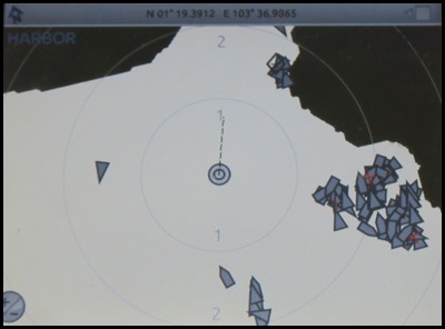
The AIS is thrilled to see nothing ahead.
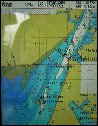
The last ten miles of this epic journey - having enjoyed so many exciting chums, will be a quiet one up the Johor Strait on the left of the map. The strait separates the Malaysian state of Johor on the mainland Malay Peninsula to the north, from Singapore and its islands on the south. It connects to the Strait of Malacca on the west, and the Singapore Strait on the southeast. The mouth and delta of the Johor or Johur River is on its northeast side in Malaysia.
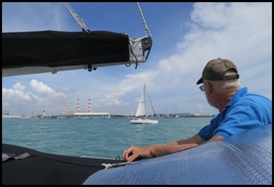
A real novelty – a yacht passes us.
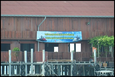
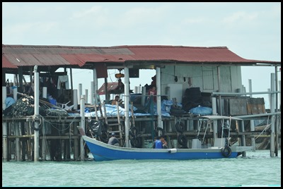
To our left a big building on stilts.
On one side we see a jet ski operation and on the right traditional fishermen.
Next, we pass Merambong Island on our left, beside which is the single largest seagrass bed in the country. The bed extends from the island right up to the estuary of Pulai River. Dugongs and seahorses which feed on seagrass make their home in the nearby coral reefs in the shallow, warm water.
A red marker buoy on our left.
On our right fresh, modern buildings and we also see the metro line to Singapore city.
On our right we pass Raffles Marina with Raffles light on the far left.....what sets the Johor Straits lighthouse apart from Singapore’s other operating lighthouses is that it is not operated by MPA (Maritime and Port Authority, Singapore) but by Raffles Marina. Standing twelve metres high and flashing once every ten seconds with a beam that reaches fifteen miles, this lighthouse is one of the most picturesque in Singapore. Five miles left to go.
We approach the bridge.
To the left.
The Singapore side to the right.
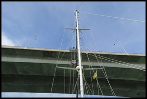
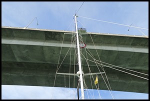
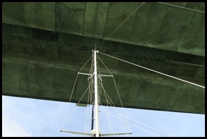
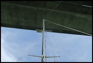
We pass under our first bridge since the Sydney Harbour Bridge (nearly a year ago, wow).
The other side we see the check in on the Singapore side.
Behind us we look back at the bridge. The Malaysia–Singapore Second Link is a bridge connecting Singapore and Johor, Malaysia. In Singapore, it is officially known as the Tuas Second Link. The bridge was built to reduce the traffic congestion at the Johor–Singapore Causeway, and was opened to traffic on the 2nd of January 1998. It was officially opened by Singapore's then Prime Minister Goh Chok Tong with his counterpart, Dr Mahathir Mohamed, who was then Prime Minister of Malaysia. The bridge supports a dual-three lane carriageway linking Kampong Ladang at Tanjung Kupang, Johor to Jalan Ahmad Ibrahim at Tuas, Singapore. The total length of the bridge over water is 1,920 metres (6,300 feet). The checkpoint on Malaysia side is called the Sultan Abu Bakar CIQ Complex. The checkpoint on Singapore side, the Tuas Checkpoint, was built on 19.6 hectares (48 acres) of reclaimed land at a cost of S$485 million. Designed by CPG Corporation, it involved the use of 54,000 cubic metres (1,900,000 cu feet) of concrete and 18,000 tonnes (20,000 short tons) of reinforcing steel, and won the Architectural Design Award and Best Buildable Design Award awarded by the Singapore Institute of Architects and the Building and Construction Authority respectively. The major components of the project are the Second Crossing bridge, forty-four kilometres of expressways, a Customs, Immigration and Quarantine complex, three toll plazas, two rest and service areas and other ancillary facilities. The bridge was designed to accommodate up to 200,000 vehicles a day.
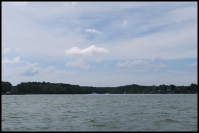
All of a sudden we leave the fancy buildings on the Singapore side to find that on both sides of the river there is a vast expanse of trees and greenery, we later find out that all the right hand is the Singapore Firing Range....Mmm.
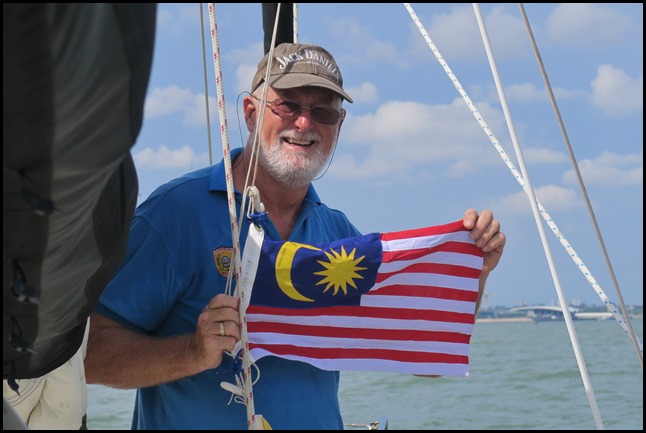
Time to raise the Malaysian flag.
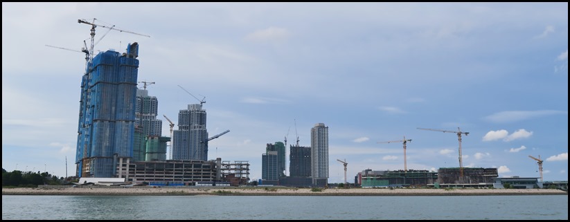
Then on the left a massive construction site.
Just beyond we turn left after our last red buoy.
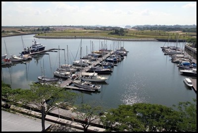
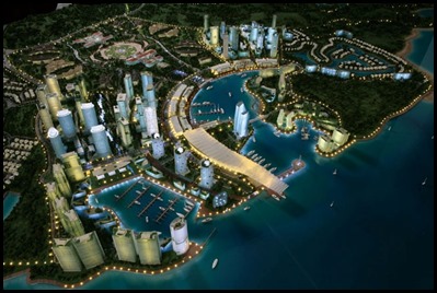
Mary and Grant (El Gato) wave and whoop. Young, welcoming men are waiting to take Beez ropes as we pull in to B24 (The right side of the central jetty on this borrowed picture) – what it will look like in the future as seen on this artists impression. Bear bimbles up to the office to check us in returning with shower passes, we will be taken to log in at nine thirty in the morning. Time now to reflect on todays wonderful journey from Indonesia to Malaysia, with a wind bitten face and a cheesy grin on my sore lips – see what happens when I forget my lippy or salve....... Time for a game and a cup of tea. Sounds perfect.
ALL IN ALL TIRED BUT THRILLED ANOTHER COUNTRY AND A CIVILISED MARINA |

