To Lake Brunner

|
To Lake
Brunner
 A very gentle
start to the day with only a short road trip to Lake
Brunner.
 We popped into New World for a few
groceries and we just had to convert to this company. Lucky
Sod potatoes and onions for starters.
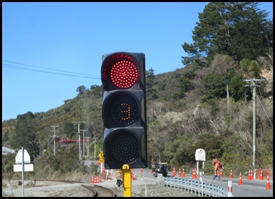 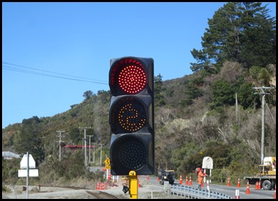 Coming out of Greymouth were some
road works, nothing amazing but the traffic lights
were. A first for us. The LED lights in the amber place
whizz round and countdown the minutes until the lights go green. Very
fancy.
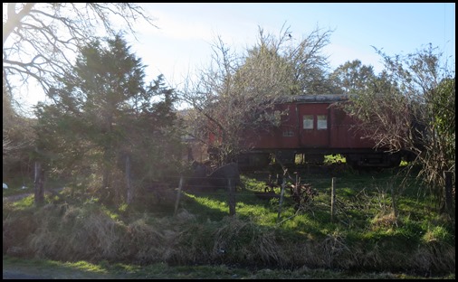
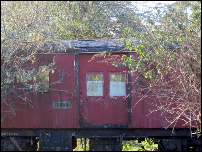
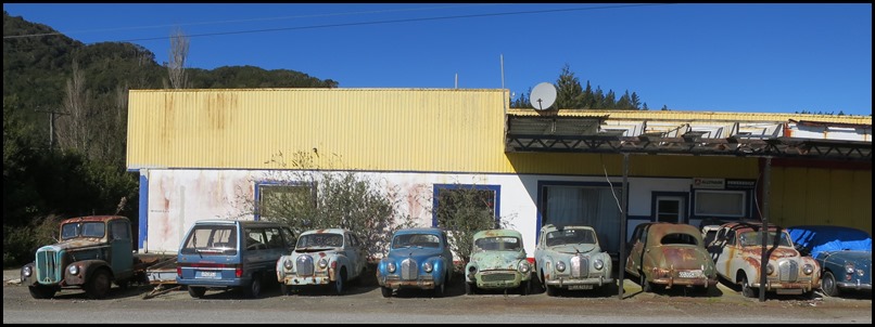 This bevy of
beauties was a little further down the main road. Amazing to see so many intact ladies.
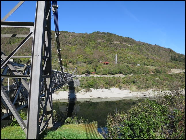 We spent some time at
the Brunner Mine, site of
the Brunner Mine Disaster when sixty five men and boys lost their lives, the
worst in New Zealand’s industrial history. Sad and very, very interesting.
The intervention of the Historic Places Trust to save
the deteriorating complex in 1978 represents one of the earliest efforts to
conserve (and interpret to the public) this country’s industrial heritage on a
large scale.
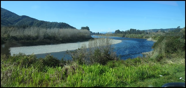 We pulled away from the
Grey River.
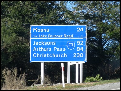 We turned right, heading for Lake Brunner.
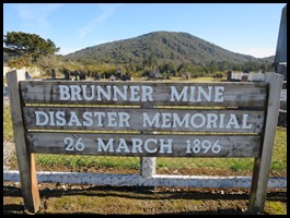   Just after we had made our right turn
we saw the Memorial sign. We had planned to find out
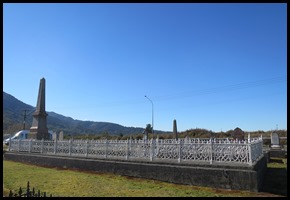
where the Stillwater Cemetery was when we got back to Greymouth on the morrow,
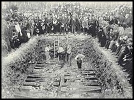
we found it by accident. We had seen the moving picture at the Brunner Mine of
the mass grave to thirty three of the lost miners,
here we saw it as it looks today. Also the grave of
the children lost when their house was buried in a land slip – the cemetery got
it’s own blog.
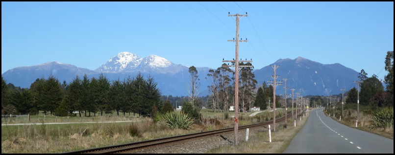 On we went, following the rail track – the one we came along on our TranzAlpine
journey from Dunedin to Greymouth. Our reason for coming to Lake Brunner was
because as we drove in yesterday Tourism Radio raved about the beauty of the
lake, the nice campsite, the friendly hotel where everyone meets and tourists
leave as friends. The real New Zealand, the area the professionals come
for the real pictures and reflection shots. Okaaaaaayy then.
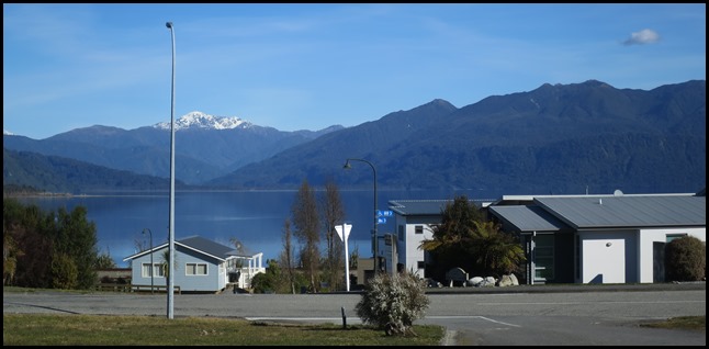 We found the adequate campsite – if
it wanted to become a Top 10 site much wonga would have to be spent........,
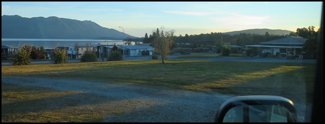
having said that, it was clean enough. Our first look at the
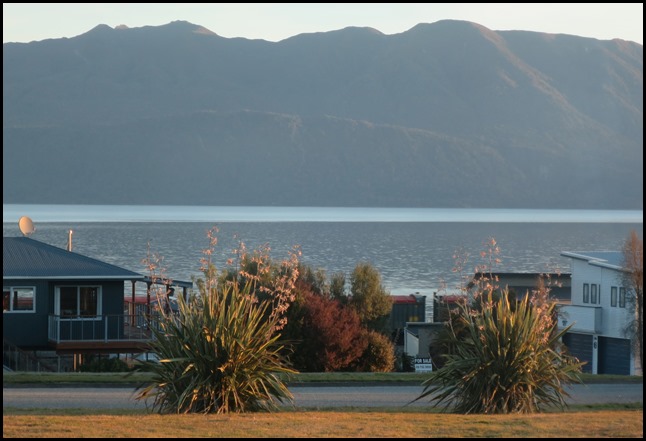
lake was over a tiny brand new housing estate.
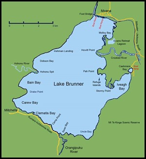 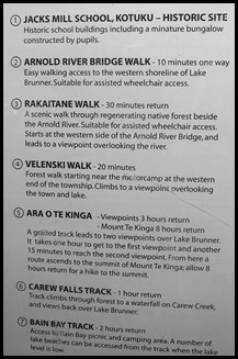 Lake Brunner is the largest lake in the
northwestern South
Island of New
Zealand, covering an area of 40 km². The lake's outflow
is the Arnold
River, a tributary of the Grey
River. The lake lies 31 kilometres to the southeast
of Greymouth. The main
settlement close to the lake is Moana, on the northern
shore. Located several kilometres inland from the coast road
(State Highway
6), it is less frequently visited by
tourists than many of the West
Coast's scenic highlights, but it is
becoming increasingly popular, in part due to its reputation for fishing. Lake Brunner was named by John
Rochfort for the 19th century explorer Thomas
Brunner, and the Māori name for
the lake, Kotuku moana,
means "Sea of herons". The New Zealand
freshwater mussel (Hyridella menziesi) is found in
the lake. By 1976 twenty percent of the catchment
of the lake was farmed and there was a population of 84 at the settlement
of Moana. The waters of Lake Brunner have been
monitored since the 1990’s and it shows that the water
quality of the
lake is declining. By 2010 all the
measured determinates for water quality were trending up but it was still
considered to have good water quality. The poorest water quality is at
Cashmere Bay, next to Moana.
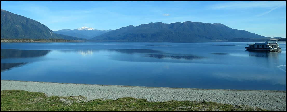 We went down to the lake for a late
lunch and whilst very pleasant we found it not spectacular. A fun thing
was to watch a man drive up and down the access road terriers in hot pursuit,
guess that constitutes ‘walkies’.
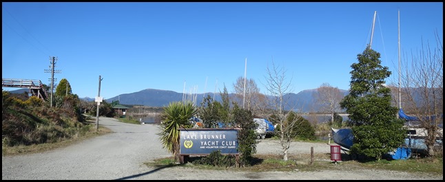 The Yacht Club.
Moana is a small town in the West Coast Region of the South Island of New Zealand. It is situated on the northern shore of Lake Brunner, and is beside the outflow of the lake into the Arnold River. There is a pedestrian suspension bridge crossing the Arnold from the town to access the lake shore across the river, with some short easy bush walks on each side. The town's main tourist attractions are the panoramic views and water sport opportunities arising from its position on the shores of Lake Brunner. The Midland Line railway passes through Moana; the TranzAlpine tourist passenger train passes through once in each direction daily, and freight trains of coal operate more frequently. The population of the Lake Brunner statistical area, which includes Moana but covers a much larger area, was 258 in the 2006 Census, a decrease of 6 from 2001. In May 2013, Moana became one of the first places in New Zealand to get 4G wireless broadband. Lake Brunner School is a coeducational full primary (years 1-8) school with fifty five pupils. Rotomanu School closed and merged into this school in 2005.
We called at the information centre, closed for the season, the hotel it was housed in was on the market. We didn’t see a living souls so we went for a drive. This lady was in a field down the road.
Like the rest of the area, needing TLC. Although it has to be said we would need to see the area in the height of summer to be fair.
Settled on our grass patch, let the games begin. We did get a free hour of wi-fi, OK but not fast.
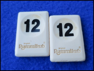
I lost badly at backgammon, trounced at sequence and we drew the same to see who went first at rummikub – a bad evening, libation time....Oops.
We enjoyed the evening freight train coming through. ALL IN ALL TOO QUIET – IN
FACT SILENT IN OFF-SEASON
FELT ISOLATED THEN DESERTED WITH BAD GAME
LOSSES |
