Stewart Island Bimble

|
Stewart Island Bimble 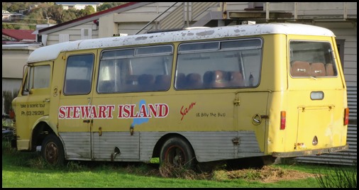 What a good start. We raced out of our
room at the South Sea Hotel to find this beauty parked next door. Whilst Sam the tour bus doesn’t fulfil all the criteria to meet
entry to the ‘One Careful Owner’ award, we thought he made a good attempt. We
have to tramp along to catch our water taxi to Ulva with Ian, waiting for us at
Golden Bay – over the hill.
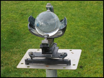 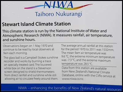 We stopped to admire this
little sunshine recorder.
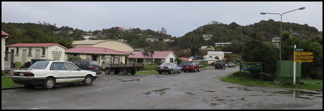 Stewart Island / Rakiura is the third
largest island of New Zealand. It lies nineteen miles south of South Island,
across Foveaux Strait. Its permanent population is three hundred and eighty one
people as of the 2013 Census, most of whom live in the settlement of Oban.
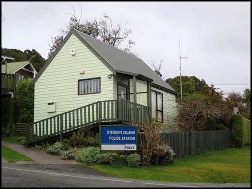 The cutest Police
Station we have ever seen. There has been a police presence here since
1889, just the one constable. He makes himself visible as the ferries come in
and although crime is extremely rare here he keeps busy with gun permits and
ensuring hunting parties are where they should be. Jim will retire off the
island as he would like anonymity somewhere out of uniform.
History and Naming: The original
Māori name, Te
Punga o Te Waka a Maui, positions Stewart Island / Rakiura firmly at the
heart of Māori mythology. Translated as The Anchor
Stone of Maui’s Canoe, it refers to the part played by the island in the
legend of Maui and his crew, who from their canoe, the
South Island, caught and raised the great fish, the North
Island. Rakiura
is the more commonly known and used Māori name. It is usually translated as Glowing Skies, possibly a reference to the
sunsets for which it is famous or for the aurora
australis.
 For some, Rakiura is the abbreviated version of Te Rakiura a Te Rakitamau, translated as "great blush of Rakitamau", in reference to the latter's embarrassment when refused the hand in marriage of not one, but two daughters, of an island chief. According to Māori legend, a chief on the island named Te Rakitamau was married to a young woman who became terminally ill and implored him to marry her cousin after she died. Te Rakitamau paddled across Te Moana Tapokopoko a Tawhiki (Foveaux Strait) to the South Island where the cousin lived, only to discover she had recently married. He blushed with embarrassment; so the island was called Te Ura o Te Rakitamau. Captain James Cook and his crew were the first Europeans to sight the island, in 1770, but Cook thought it was part of the South Island so named it South Cape. The island received its English name in honour of William W. Stewart, who was first officer on the ship Pegasus, which visited from Port Jackson (Sydney), Australia, in 1809 on a sealing expedition. Stewart charted the large southeastern harbour that now bears the ship's name (Port Pegasus), and determined the northern points of the island, proving that it was an island. He made three further visits to the island from the 1820’s to the 1840’s. In 1841, the island was established as one of the three Provinces of New Zealand, and was named New Leinster. However, the province existed on paper only and was abolished after only five years, and with the passing of the New Zealand Constitution Act 1846 the province became part of New Munster, which entirely included the South Island. When New Munster was abolished in 1853, Stewart Island became part of Otago Province until 1861 when Southland Province split from Otago. In 1876 the provinces were abolished altogether. For most of the twentieth century, "Stewart Island" was the official name, and that in common use by most New Zealanders. The name was officially altered to Stewart Island/Rakiura by the Ngai Tahu Claims Settlement Act 1998, one of many such changes under the Ngāi Tahu treaty settlement.
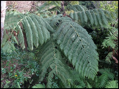  As we walked up the steep hill we stopped to admire this
tree fern.
The expanding frond produces a fiddlehead
or koru of the Cyathea medullaris, popularly known
as the black tree fern. It is a
large tree fern growing up to twenty metres tall. Found across the south-west Pacific from Fiji
to Pitcairn and New Zealand. It is called mamaku, katātā, kōrau, or pītau in the Māori
language.
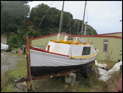 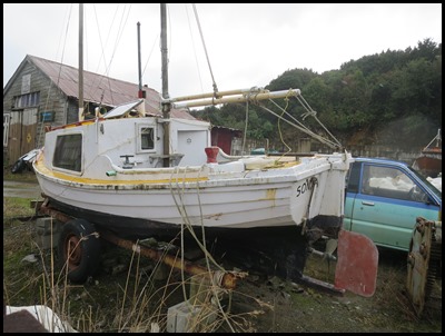 A little lady in a
yard.
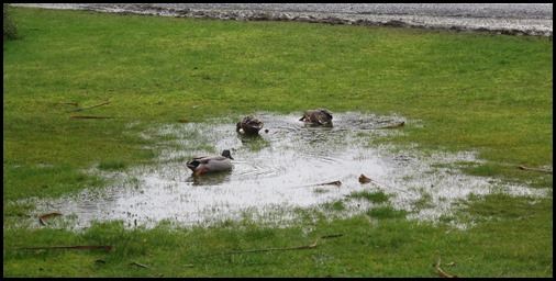 Geography: Stewart Island has an area of six hundred and fifty square miles. It is hilly and has a wet climate. The north is dominated by the swampy valley of the Freshwater River. The river rises close to the northwestern coast and flows southeastwards into the large indentation of Paterson Inlet. The highest peak is Mount Anglem 3,212 feet, close to the northern coast. It is one of a rim of ridges that surround Freshwater Valley. The southern half is more uniformly undulating, rising to a ridge that runs south from the valley of the Rakeahua River, which also flows into Paterson Inlet. The southernmost point in this ridge is Mount Allen, at 2,460 feet. In the southeast the land is somewhat lower, and is drained by the valleys of the Toitoi River, Lords River, and Heron River. South West Cape on this island is the southernmost point of the main islands of New Zealand. Mason Bay, on the west side, is notable as a long sandy beach on an island where beaches are typically far more rugged. One suggestion is that the bay was formed in the aftershock of a meteorite impact in the Tasman Sea. Three large and many small islands lie around the coast. Notable among these are Ruapuke Island, in Foveaux Strait 20 miles northeast of Oban; Codfish Island, close to the northwest shore; and Big South Cape Island, off the southwestern tip. The Titi/Muttonbird Islands group is between Stewart Island/Rakiura and Ruapuke Island, around Big South Cape Island, and off the southeastern coast. Other islands of interest include Bench Island, Native Island, and Ulva Island, all close to the mouth of Paterson Inlet, and Pearl Island, Anchorage Island, and Noble Island, close to Port Pegasus in the southwest. Further offshore The Snares are oceanic islands, a volcano and some smaller islets, that were never connected to the larger Stewart Island. The climate of Stewart Island is mild for temperatures. However, one travel guide mentions "frequent downpours that make 'boots and waterproof clothing mandatory'", and another guide says that rainfall in Oban, the capital, is sixty three to seventy one inches a year. We certainly saw many puddles well suited to being duck ponds. 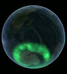 Geomagnetic anomaly: Owing to an anomaly in the magnetic latitude contours, this location is well placed for observing Aurora australis, an amazing picture by NASA.
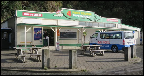 Settlements: The only town is Oban, on Halfmoon Bay. A previous settlement, Port Pegasus, once boasted several stores and a post office, and was located on the southern coast of the island. It is now uninhabited, and is accessible only by boat or by an arduous hike through the island. Another site of former settlement is at Port William, a four-hour walk around the north coast from Oban, where immigrants from the Shetland Islands settled in the early 1870s. This was unsuccessful, and the settlers left within one to two years, most for sawmilling villages elsewhere on the island. Since 1988 the electricity supply on Stewart Island/Rakiura has come from diesel generators; previously residents used their own private generators. As a consequence electric power is around three times more expensive than on the South Island, at $NZ 0.52/kWH in 2008. The Southland District Council has partnered with Meridian Energy to develop renewable energy sources for the island, and experiments with photovoltaic and wind generation are in progress. Interestingly for us in the supermarket, Four Square, prices were as on the mainland. We had expected to see things much more expensive due to transport taxes and levies.
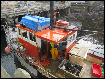 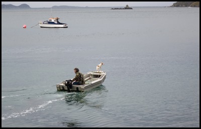 We watched this fisherman
come in on this bitterly cold day, faithful
friend ‘adopting the position’ on their way
home.
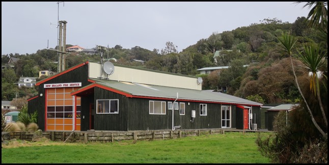 The Fire
Station.
Economy and Communications: Fishing has been, historically, the most important element of the economy of Stewart Island/Rakiura, and while it remains important, tourism has become the main source of income for islanders. There has also been some farming and forestry. Oban has mainly sealed main roads, and some gravel roads on the outskirts. Southern Air links Ryan's Creek Aerodrome and Invercargill Airport and aircraft also land on the sand at Mason Bay, Doughboy Bay, and West Ruggedy Beach. A regular passenger ferry service runs between Bluff and Oban. The only ferry/barge link to the South Island for vehicles is to Bluff. Oban has a fully functional phone and broadband (ADSL), but cellphone coverage is limited to Telecom's XT/3G network and all these services rely upon a radio link to Bluff, so broadband speeds are limited. Stewart Island is able to receive most AM and FM radio stations broadcast in the Southland region. Television services are available via Satellite using Sky or Freeview. Analogue terrestrial television services could be received on Stewart Island from the Hedgehope television transmitter located on the South Island prior to the analogue switch off on the 28th of April 2013.
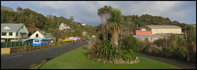 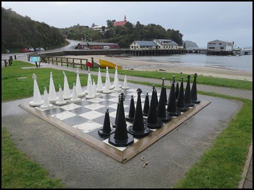 ALL IN ALL REMINDED US OF ST.
MARY’S, ISLES OF SCILLY
A WONDERFUL EXPERIENCE AND A LITTLE
WARMER |