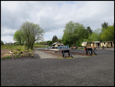
Over the Hills

|
Over the Hills to Devil's
Bridge, Wales
 After a
wonderful cooked breakfast the sneezing Bear – he is still convinced he has
begun another round of cold, great Gromit, dragged the whispering, poorly
feeling Pepe out for a drive. Soon after leaving our B&B we were in Mid Wales at her best.
 On
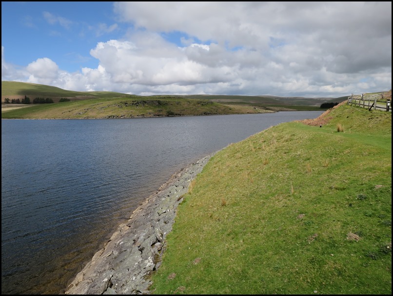
the 26th of May 2010 we visited the Elan Valley and wrote a blog on the lower
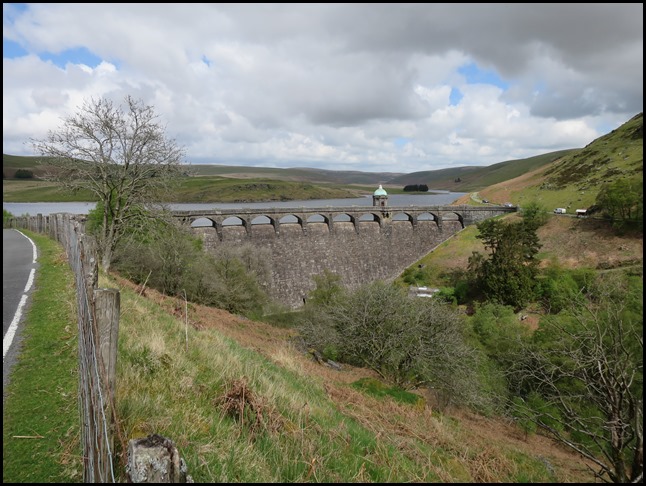
dams, today we saw the furthest dam en route to Devil’s Bridge.
 An
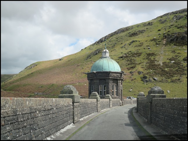
impressive single track road took us over the dam.
Over the door of the disused ‘control hut’ we learned some impressive facts for
Craig Goch Reservoir, it has a total capacity of two billion gallons. The
surface area of the top water is two hundred and seventeen acres. The top water
level is one thousand and forty feet above Ordnance Datum. The height of the dam
above the river bed is one hundred and twenty feet. The depth of the foundations
below the river bed are ten feet. The length of the weir is three hundred and
ninety feet. The thickness of the dam at its base is one hundred and four feet.
The quantity of masonry used during the building of the dam is estimated at
eighty thousand cubic yards.
  Bear took the picture on the
left, Chris Downer took the dam in
action.
Construction of the Craig Goch Dam, often
called the Top dam,
began in 1897 and was completed in 1904. The primary purpose of the dam
and the other reservoirs is to supply Birmingham with
water which trots through a ‘big black pipe’. In
1997, a 480 kW hydroelectric generator
began operation at the dam.
 We drove on from the dam and stopped to look
back at a bend in the road. The whole area is
massive.
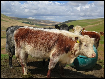 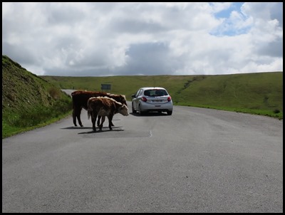 Some furries at a crossroad and a couple who surprised a car.
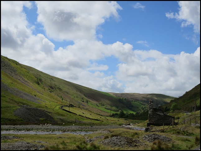
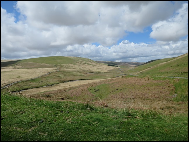  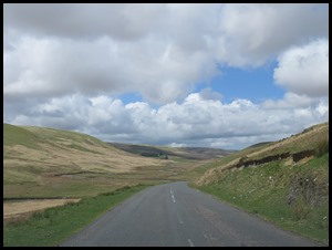 Desolate beauty as we drove completely
alone.
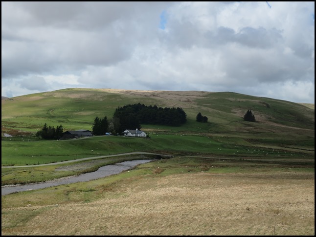 A farmhouse
with no neighbours.
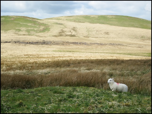 A lamb, the only break in the
scenery.
 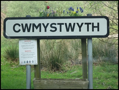 We passed through another valley and found
a name with a distinct lack of
vowels......
 Along the road – is that a One Careful
Owner......
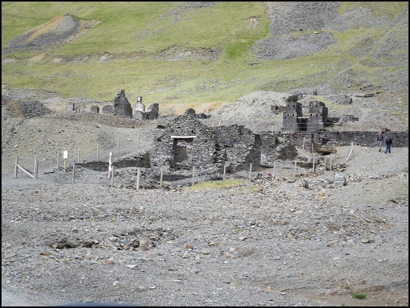
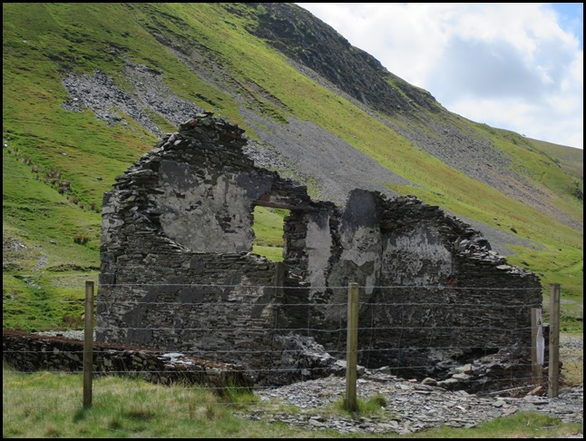
Cwmystwyth mines are located in Cwmystwyth, Ceredigion. Discovery of small, oval-shaped stone tools in the area points to the fact that it has been mined for lead since the time of ancient Britons and during Roman occupation. Documentation of mining activities occurred during the reign of Elizabeth I. She engaged the services of two German miners, then went on to sub-let to Hugh Myddleton.
Mining heritage: Cwm Ystwyth is considered the most important non-ferrous metal mining site in Wales providing a premier example of mining heritage in Ceredigion. Within the site there is evidence for all phases of mining activity; from the Bronze Age, through the medieval period, to its revival in the 18th century and the peak of activity with a subsequent decline in the late 19th and the early 20th century. It has been designated as a Scheduled Ancient Monument. The site also features prominently in the Upland Ceredigion Landscape of Historic Interest. The people in the picture were archaeologists, clue - they were the only other people here and the only other car was sign written letting us know their career choice.
History: Silver, lead and zinc have been mined in the valley of the River Ystwyth since Roman times, an activity that reached its peak in the 18th century. The largest of the very many mines was Cwmystwyth Mine. It is reputed that the average age at death of the miners in Cwmystwyth was thirty two, largely because of acute lead poisoning. There is no longer any active metal mining in the Ystwyth valley.
Water use: Water was extensively used during the silver and lead mining process to extract the ore. In the case of Cwm Ystwyth mine, much of the water was brought in by contour hugging leats from several miles upstream. The channel of the leat can still be followed on the hillside and is clearly visible from the road on the opposite side of the valley. Much of the water was used for hushing, prospecting and working the ore in the open. (Hushing is an ancient and historic mining method using a flood or torrent of water to reveal mining veins).
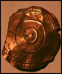
The Banc Ty'nddôl sun-disc is a small, decorated, gold ornament discovered here. It most likely was part of a funerary garment and is more than 4,000 years old, which makes it the earliest gold artifact found in Wales. It was discovered on the 16th of October 2002 by a team of archaeologists who were investigating the site of Roman and Medieval lead smeltinghearths below the Bronze Age copper mine on Copa Hill. The disc was declared a treasure in December 2003 and has since been acquired by the Amgueddfa Cymru – National Museum Wales.
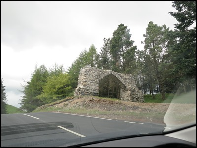
We left the mine area, passed an elderly arch, and a quick u-turn in the Devil’s Bridge Station car park and we came to a halt in the waterfall car park. What a journey, an hour and a bit of incredible scenery and more than a smattering of history. Time to go for a short bimble – after a short downpour.
ALL IN ALL REMOTE BUT
STUNNING
EXTREME
COUNTRYSIDE |
