|
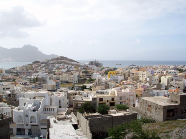
São Vicente
A few days after we arrived, we were pleasantly surprised to
see Delicado (Jim and Pam) and Chriselle (Keith and Tricia) two Australian boats
we had met in Agadir arrive here in Mindelo. Jim
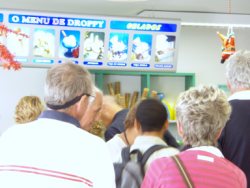
organised a mini-bus tour complete with guide and 11 of us yachties, including a
couple from Sweden, a couple from New Zealand with their English crew member,
Matt, and Pete crewing with Delicado all trotted off for the day.
   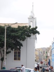
The square, pan stall, shoe repairers and
church in Mindelo.

The gang, Gabriella in the Welly
Nursery with one of the little ones. We dropped in to give them crayons, pencils
and chalk (as promised on Julies page). The children all said Bon Dia - Good
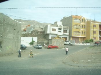
morning. Street near nursery where we stopped for lunch.
  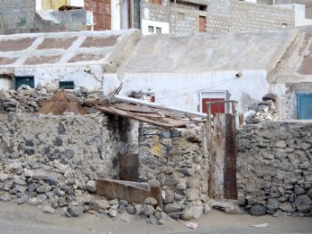
A fishing village in Sao Pedro, the building is a fisherman's co-operative - they built
themselves, paid for by the government. Wash day. A
shanty.

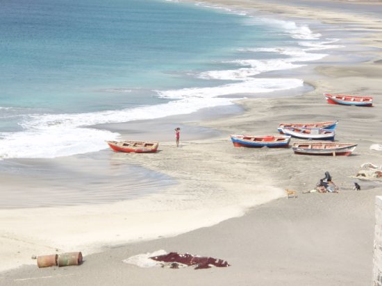
The small fishing boats have to battle in backwards over the
wash. A typical Cape Verdean scene at Porto Sao
Pedro.
Sao Vicente (Portuguese for Saint Vincent), also Son Visent or Son Sent
in Cape Verde Creole, is one of the Barlavento
islands of Cape Verde. It is located between the islands of Santo
Antao and Santa Luzia, with the Canal de Sao Vicente separating it from Santo Antão. The island is composed
by a single administrative division, the Sao Vicente
municipality.
Geography
The island is roughly rectangular in shape with a surface area of ca. 227 km2
(88 square miles). From east to west it measures 24 km (15 miles) and from north
to south no more than 16 km (9.9 miles). The terrain includes mountains in the
west, the southwest, the south, the east-central and the north. The area is flat
in the north-central, the central part, the eastern part south of Calhau and the
northern part in the Baía das Gatas area. The urban area of Mindelo is in the
northern part. Much of the island is deforested.

Although volcanic in origin, the island is quite
flat. Its highest point is Monte Verde (Portuguese for green
mountain) located in the northeast-central part with an altitude
of 725 metres (2,380 ft). Although a great amount of
erosion has taken place, some craters still remain - in
particular near the bay of Mindelo. Other mountaintops include
Monte Cara and
Topona.
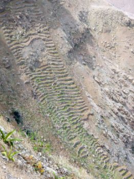
A prize winner - I
believe.
Climate
The climate is mainly tropical and dry with the temperature around 24 °C
(75 °F) all year round. The ocean water temperature every year is between 22 °C
(72 °F) and 25 °C (77 °F). Still feels cold to me though. There are two seasons:
November through July are mainly dry and windy, while August through October is
the "rainy season".
The Atlantic "doing its thing". This deserted beach comes alive every August for three days when
there is a music festival, the rest of the year only used at week-ends.
Disappointed we had found no ice-cream stalls, we ended our day back in Mindelo
at the Ice Cream Parlour.
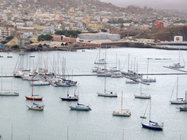
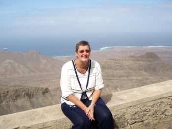
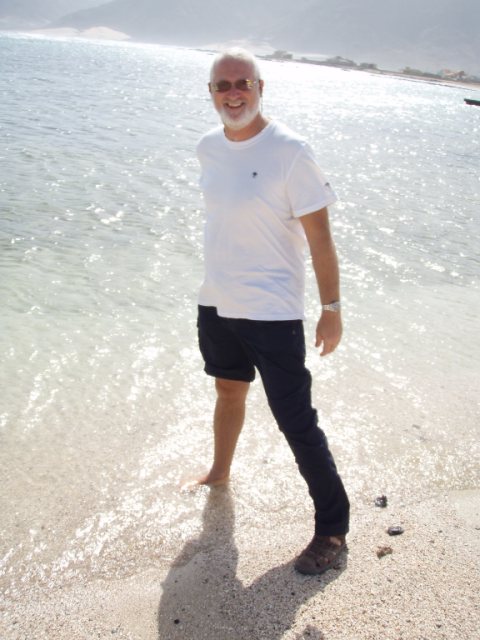
Beez Neez and friends in the marina.
All in all we are pleased to have visited our first island in the
tropics.
|