Narromine

|
A Stop in
Narromine
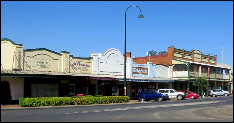
 Narromine is a town located about twenty five miles west of Dubbo in the Orana region of New South Wales. It is the centre of Narromine Shire. At the 2011 census, Narromine had a population of 3,789. The area is a popular area for gliding and the growing of citrus fruits. The Macquarie River passes through the town. The main road from Dubbo to the west also passes through, this being the Mitchell Highway named after the early explorer Sir Thomas Mitchell. The area is characterised by hot summers and mild winters.
History: The town name comes from a pastoral property, which in turn came from an Aboriginal word for 'honey person'. The first European to visit the district was John Oxley who traced the course of the Macquarie River in 1818.
The Main West railway line extension between Dubbo to Nevertire, which included Narromine was officially opened on the 20th of October 1882. The town was established after the railway opened, the first structures in the town being the railway platforms.
The township was gazetted in 1883, and the railway station opened on the 1st of May 1883. It was renamed to its current spelling in October 1889. Narramine Post Office opened on the 20th of October 1882 and was renamed Narromine in 1900. The village of Narramine was proclaimed in 1885, and numerous buildings followed, including the police station built in 1890, the store (1890) and the Royal Hotel (1890). A bridge over the Macquarie River was built in 1897. After federation, the population of Narromine was 2,228 in the 1911 census, and in 1947 the population was 1,816.
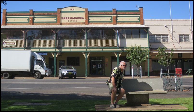
The Imperial Hotel, established in 1883, this building dates from 1921.
Floods: In late March 1926, Narromine experienced its biggest flood since 1893, with the Macquarie River peaking at 50 feet (15 m) at 5 am on 27 March. Narromine was isolated due to floodwaters cutting roads, telephone lines and the railway line. A large area of country around the town was covered in water. Very little damage was reported. In the floods of April 1990, the river peaked at Narromine at a record 15.93 metres (52.3 ft).
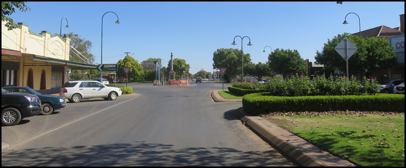
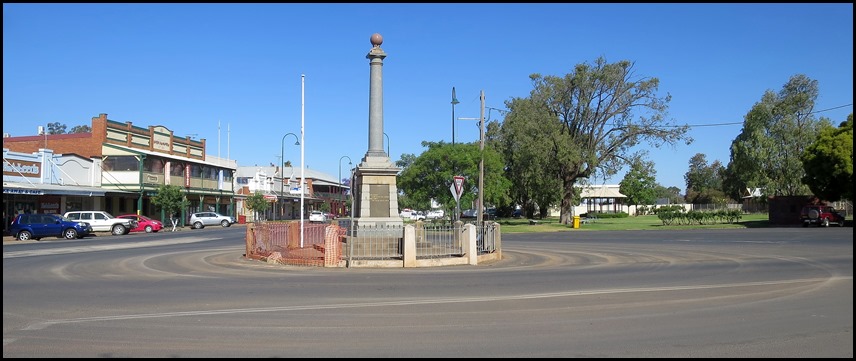
The War Memorial from the other side of town.
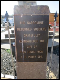
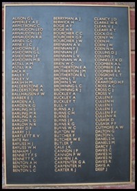
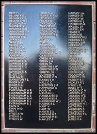
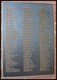
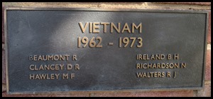
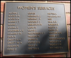
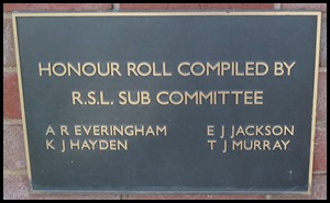
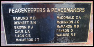
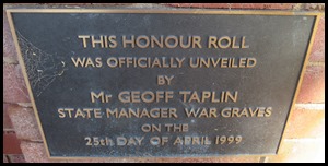
The fence plaque and the Roll of Honour.
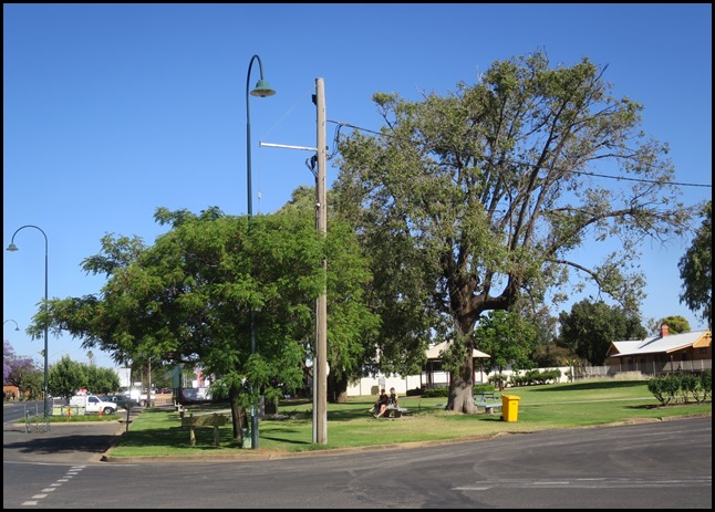
The park opposite, behind the trees on the left is............
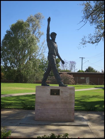
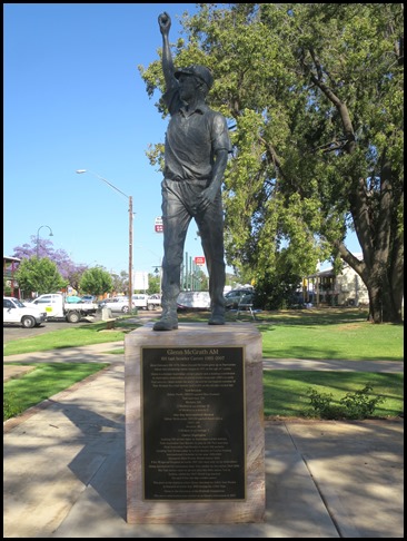
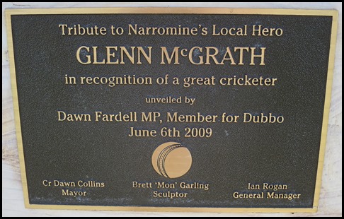
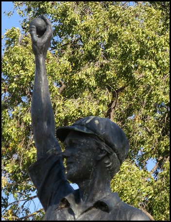
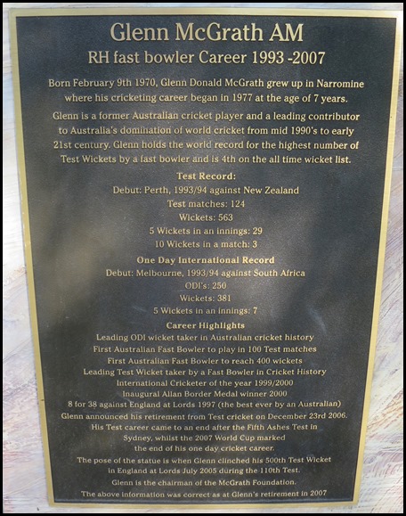
A statue of Glenn McGrath.
Impressive stats.
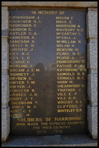
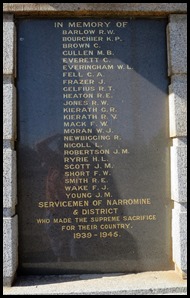
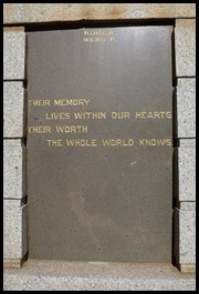
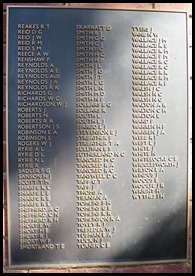
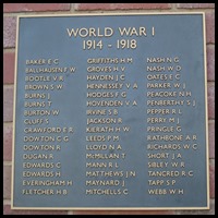
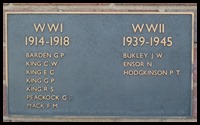
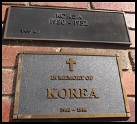
To the right of the park was a memorial wall with a Roll of Honour.
So many sacrifices.
.
ALL IN ALL A PLEASANT LITTLE STOP |
