Bluff

|
Bluff 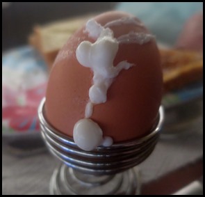 Well, the morning began gently enough with a cute egg event, Bear asked what I would like
to do. Looking out of the window it looked cold, grey and wet. Having
booked our ferry ride over to Stewart Island it seemed like a good idea to go
and reccy Bluff, fifteen minutes away.
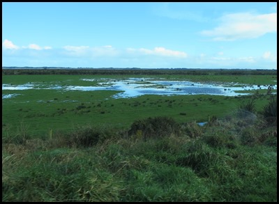 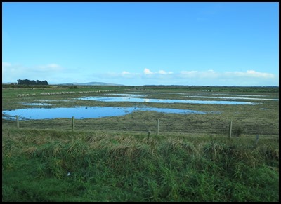 The Wetlands is a fitting
name for each side of the main road out of Invercargill. Sheep lining up in the
few dry bits of their fields. Great numbers of deer are kept in this area famous
for its venison, sheep cheese and specialty chocolate. Bluff is famous for its
oysters. By 1850, most of Southland had been settled by
runholders. As New Zealand’s closest port to Australia, Bluff became the natural
centre to service the region’s emerging farming and sawmilling industries. Today
the region produces 25% of the countries
exports.
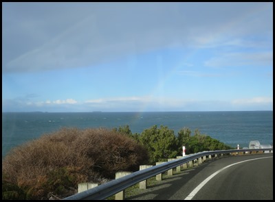
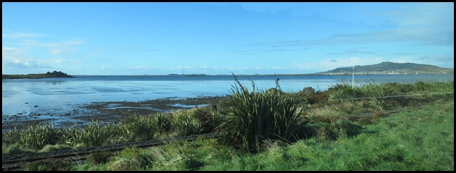 Bluff away in the distance.
Bluff is a town and seaport in the Southland region, on the southern coast of South Island. It is the southern-most town in New Zealand (excluding Oban on Stewart Island) and, despite Slope Point being further to the south, is colloquially used to refer to the southern extremity of the country (particularly in the phrase "from Cape Reinga to The Bluff"). It is home to some eighteen hundred and fifty people. The Bluff area, while itself not settled by Māori, was one of the earliest areas of New Zealand where a European presence became established. 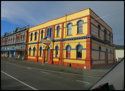 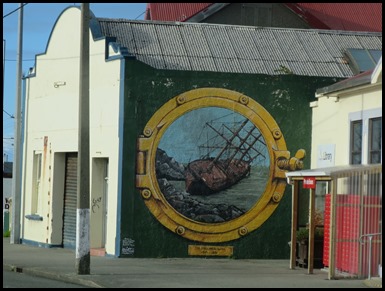 Soon we were driving down the main road. Bluff Lodge is a happy looking building and we saw many
murals.
 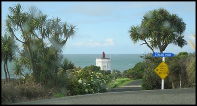  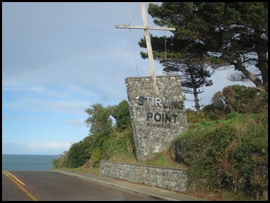 We followed the road toward
the pilot house at Stirling
Point.
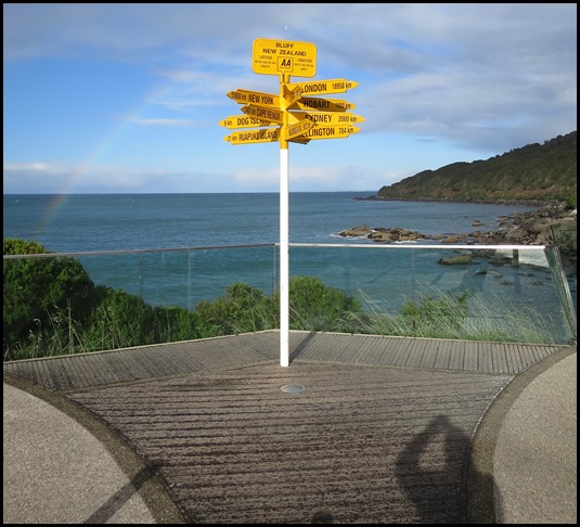 Bear did well to get this
great shot of the world famous sign in the biting
wind just as it began to rain. It was originally built of timber around 1960
with six arms. Following repeated vandalism it was replaced in metal and
cemented in place. Today’s version gives directions to twelve locations
including Invercargill’s sister city Kumagaya, Japan.
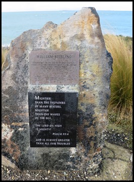 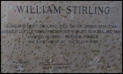 Named after Captain William Stirling who came from Kent and established
a whaling station for Johnny Jones in 1836. Standing like a sentinel at the
entrance to the harbour is the Stirling Point pilot station built in 1912. The
station was de-manned on the 1st of August 1986. Prior to this a signal mast
with crosstree was erected and flew flags advising the waiting ships of weather
and tidal conditions. Four ships, Scotia in 1864, Pelham and
Maid of Otago both in 1886 and Okta in 1913 ended their days
on Pelham Rock to the east of Stirling Point pilot station.
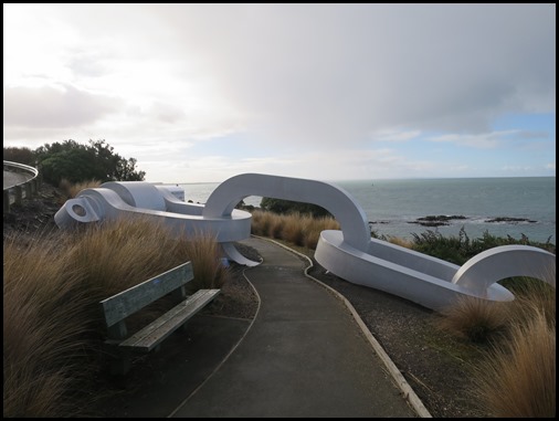 Maui was a legendary
Polynesian voyager with god-like powers. Creation stories tell how he pulled
Rakiura – Stewart Island from the ocean floor to be the Te Puka a Maui or
anchorstone for his canoe. Thus anchored, Maui was able to cast his line and
haul out the giant fish which became Te Ika a Maui - North Island. This stylised anchor chain is firmly secured on land by a
shackle but disappears beneath Te Ara a Kewa - Fovreaux Strait to remind us of
the physical and spiritual taurapa or stern post of Te Waka a Maui and Rakiura –
Stewart Island. The chain links also symbolise a history of inter-relationships
that have given the peoples of Motupohue – Bluff a strong sense of heritage and
identity. The chain emerges at Lee Bay on Rakiura – Stewart Island, must go and
take its picture there.
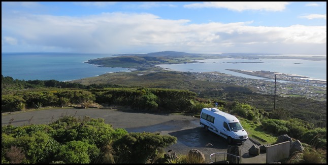
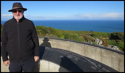 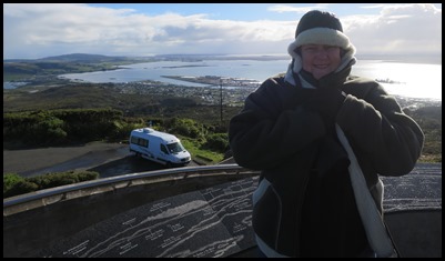 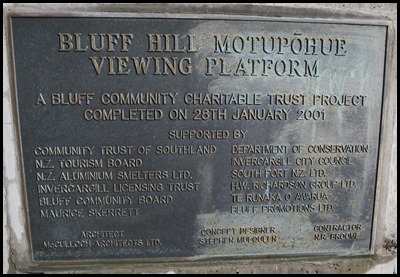 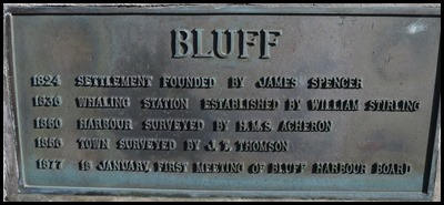 Next we drove up to the lookout. Mable parked, we
followed a path that went in a spiral to the top. Interesting bits of history
along the way. The wind was bone
chillingly cold. Not to be hung about in too long
that’s for sure.
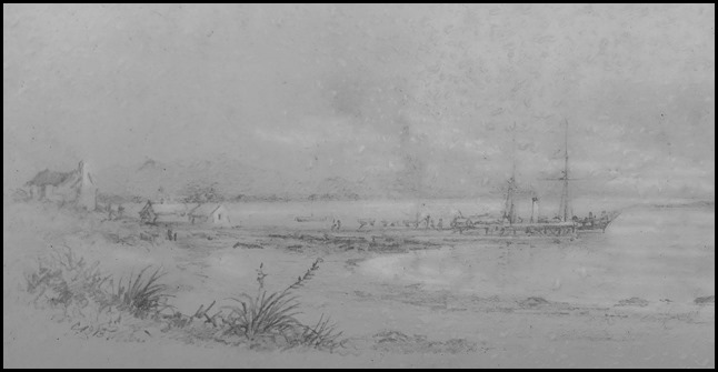 The earliest known painting of
Bluff wharf by C.D. Barraud.
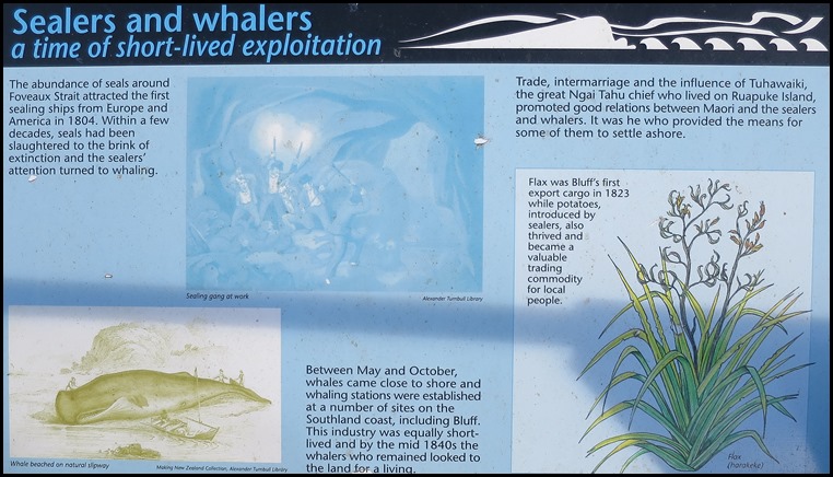
The first ship known to have entered the harbour was
the Perseverance in 1813, in search of flax trading possibilities.
James Spencer is credited as
Bluff’s first European settler. In 1824 he purchased land from Tuhawaiki, built
a house and established a fishing station which employed twenty one people. This
was the beginning of Bluff, which today has the longest history of any town in
New Zealand. However, the missionary settlement at Kerikeri was both earlier and larger and the
town is now larger than that of Bluff. The town was officially called Campbelltown in 1856, became a borough in 1878, and
was renamed Bluff in 1917.
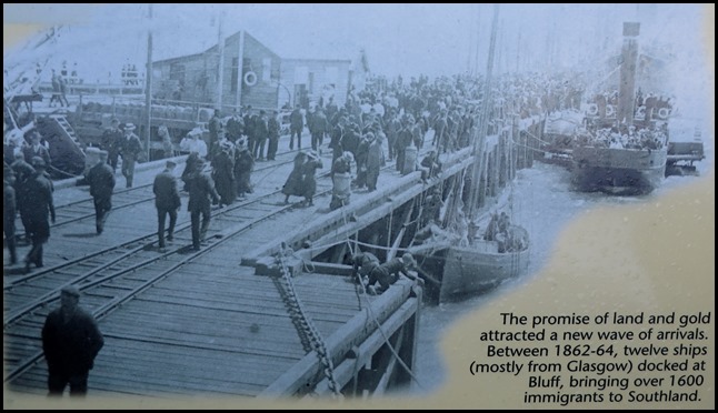
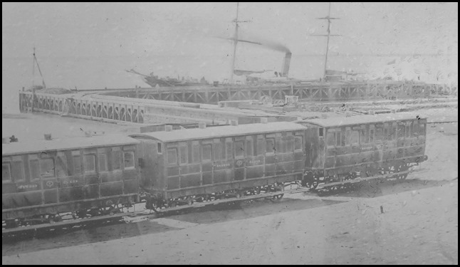 Initial problems of reaching
Invercargill across a huge swamp were overcome by one of New
Zealand’s first railway lines. Construction began in 1863 and the line
was opened in 1867.
  Not sure what’s going on with
the dates here.........
  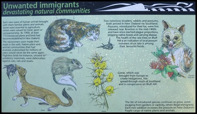 .................but
we read all the information boards with
interest.
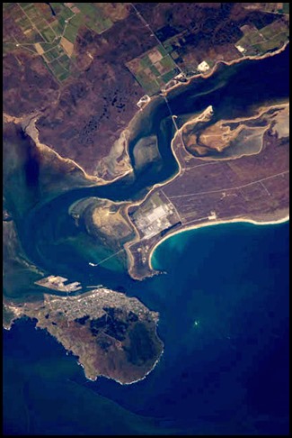 Bluff
as seen by NASA.
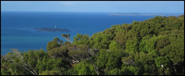 Back to our looking
out. The lighthouse on Dog
Island.
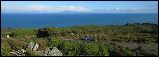 The sea looked incredibly blue. We could just
see Stewart Island under the
clouds.
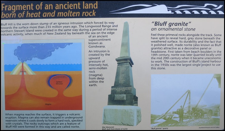
 Tiwai Point lies at the entrance to Bluff Harbour. A spit which extends from the western end of the Awarua Plain, it lies between Awarua Bay to the north and Foveaux Strait to the south. It is famous for the Tiwai Point Aluminium Smelter, one of the largest industrial facilities in New Zealand.
Mable with Bluff beside her. 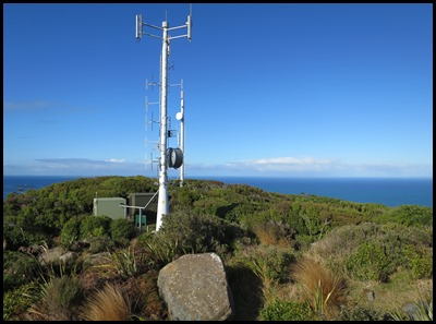 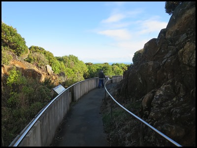 OK, I’ve admired the
telecommunications thingy, spun through 360 degrees, I’m frozen to the
bone, it’s starting to rain – I’m
off.
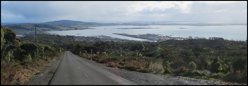 The port was built on a
reclaimed sandbank. Happy to be defrosting, heat full
on.
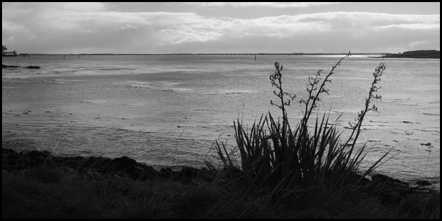 Down on the flat once more, the
connection to the aluminium plant looked very
impressive.
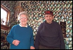
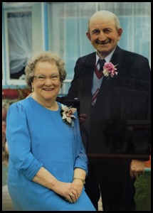
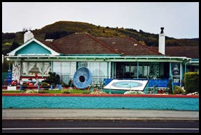
The first time we ever heard of Bluff was when we visited Canterbury Museum in Christchurch. Fred and Myrtle Flutey filled their home with polished paua. They lived on Marine Parade and were national treasures, appearing in television adverts, one in the 1990’s for McDonald’s. These much beloved residents welcomed all comers to their incredible home that, after they died, passed to a family trust, was bought by one of their grandsons and sold to an Australian couple. Their home has been copied to the last detail and their shell collection as was, is on loan to the museum for ten years until 2017. No one seems to be sure what will happen to the shells then.
Time to head back to Invercargill, passing more murals.
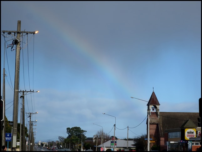
As we drove through to our Top 10 Camp Site, we saw another rainbow.
ALL IN ALL A BIT TOO TIRED AND REMOTE FOR MY LIKING A BIT SPARTAN WITH GREAT VIEWS FROM THE LOOKOUT |
