Lake Wakatipu

|
Lake
Wakatipu
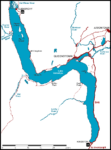 Lake Wakatipu is an inland lake (finger lake). It is in the southwest corner
of the Otago
Region, near its boundary with Southland. With a length of fifty miles, it
is New Zealand's longest lake, and, at one hundred and twelve square miles, it
is the third
largest. The lake is also very deep, its floor being below sea level,
with a maximum depth of twelve hundred and fifty feet. It is at an altitude of
one thousand and twenty feet, towards the southern end of the Southern
Alps. The general topography is a reversed "N" shape or "dog leg".
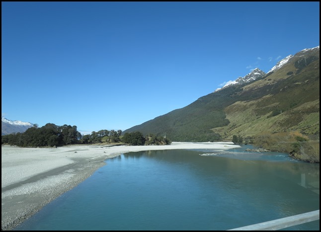 We had to go and see the
Dart River, not quite like our one in
Devon.
The Dart
River flows into the northern end, the lake then runs south for
eighteen and a half miles before turning abruptly to the east. Twelve and a half
miles further along, it turns sharply to the south, reaching its southern end
nineteen miles further south, near Kingston.
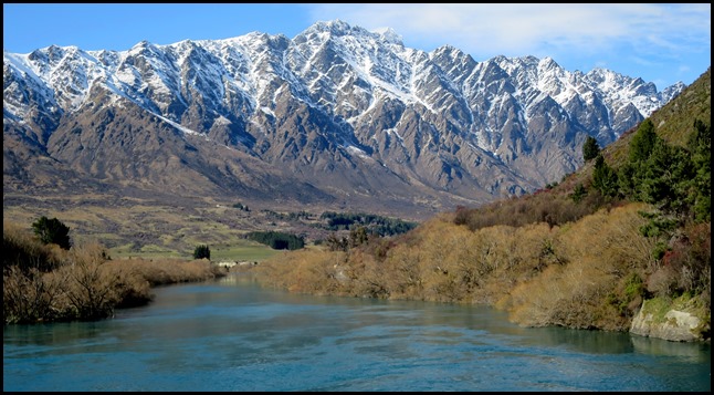 We first glimpsed the lake on our
journey from Te Anau to Queenstown, we saw the glacial blue waters at Kingston.
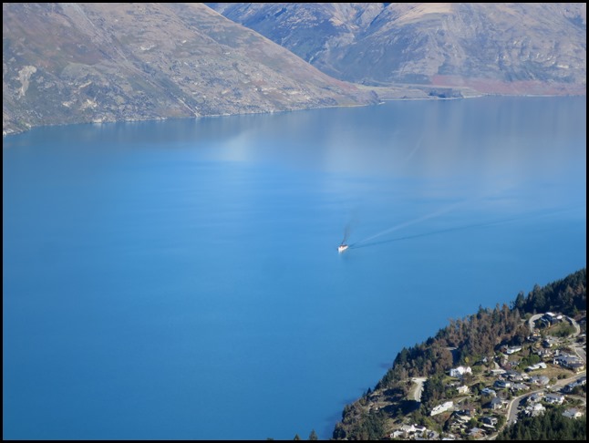
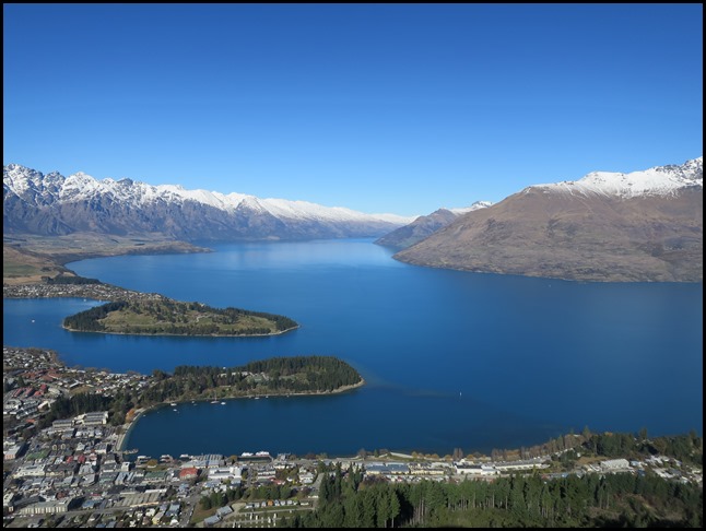 We saw the body of the lake – or the giants knees from the top of
the Queenstown cable car.
 We drove to the other end of the lake at Glenorchy. The first lake we
have seen the whole length.
The lake is drained by the Kawarau River, which flows out from the lake's Frankton Arm, five miles east of Queenstown. Until about 18,000 years ago the Mataura River drained Lake Wakatipu. The Kingston Flyer follows part of the former river bed now blocked by glacial moraine. Queenstown is on the northern shore of the lake close to eastern end of its middle section. It has a seiche of period twenty six point seven minutes which, in Queenstown Bay, causes the water level to rise and fall some eight inches. A seiche, pronounced saysh is a standing wave in an enclosed or partially enclosed body of water. Seiches and seiche-related phenomena have been observed on lakes, reservoirs, swimming pools, bays, harbours and seas. The key requirement for formation of a seiche is that the body of water be at least partially bounded, allowing the formation of the standing wave. The term was promoted by the Swiss hydrologist François-Alphonse Forel in 1890, who was the first to make scientific observations of the effect in Lake Geneva, Switzerland. The word originates in a Swiss French dialect word that means "to sway back and forth", which had apparently long been used in the region to describe oscillations in alpine lakes. 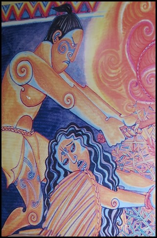 Māori Legend:
There is a general consensus amongst Kai Tahu
that the original name of Lake Wakatipu was Whakatipua – ‘the hollow of the
giant’. Legend has it that Matau the tipua – giant, stole the maiden Manata from her father’s home. Her lover, Matakauri searched and found her tied to the sleeping giant
by a seemingly unbreakable cord. Weeping bitterly, Manata’s tears dissolved the
cord and the couple escaped.
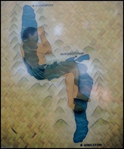 Returning later, Matakauri set the
sleeping giant alight as the hot north westerly wind blew. Waking in agony,
the giant drew up his legs as the fat from his body
fed the hot flames, scouring a great whole in the earth. The fierce heat melted
the snow from the surrounding peaks, filling in the deep hollow – his bent legs
creating the curious bend in the lake that exists today.
All that was left of the giant was
his beating heart far beneath the waters of the lake. According to the legend,
Matau’s heartbeat explains the mysterious rise and fall of Lake
Wakatipu.
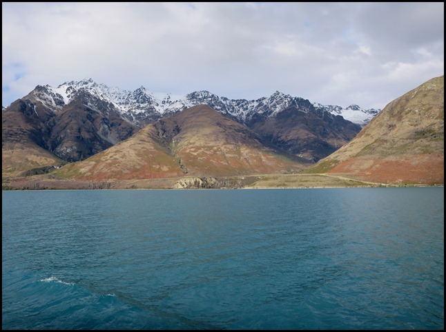 We crossed the
lake to Walter Peak on the TSS Earnslaw.
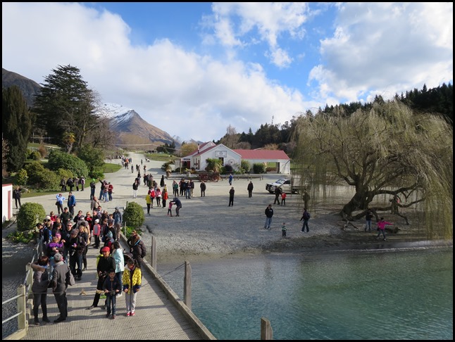 The first explorers travelling into
the Wakatipu were Waitaha arriving possibly as long ago as 850 A.D. These
Southern Māori established a largely peaceful culture throughout the South
Island. Kati Mamoe, a people who migrated from the North Island, came to
dominate Waitaha through intermarriage and warfare from the early 1700’s. During
the later 1700’s Kai Tahu, who also crossed from the North Island, instigated a
similar pattern of warfare and intermarriage with these resident populations,
eventually achieving political domination. Evidence suggests that there were a
number of Māori settlements around Lake Wakatipu near Glenorchy and Queenstown.
Māori ovens and moa bones have been unearthed in the vicinity of Walter Peak. Māori occupants
of the Otago and Southland regions could not rely on horticulture because of the
colder climate and were so highly mobile hunter-gatherers. These villages around
Lake Wakatipu were seasonal and used for food gathering during expeditions to
find pounamu – greenstone/jade, at the northern end of the
lake.
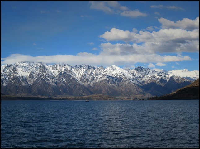 We took this photograph on our return journey on the TSS
Earnslaw.
Lake picture by NASA.
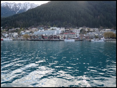
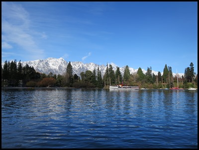
Queenstown taken across the lake from Queenstown Gardens. Queenstown Gardens, with the TSS Earnslaw taken from the wharf in Queenstown. The lake changes colour through each day which makes it so interesting.  The lake on our jet boat
ride.
Lake Wakatipu is renowned for its
scenic beauty, being surrounded by mountains. The
Remarkables mountain range lies along
its southeastern edge. The lake doubled as the famous Scottish
Loch
Ness in the 2007 film The Water Horse: Legend of the
Deep. Lake Wakatipu has many geographical
similarities to 'Loch Ness' and was chosen as one of the main filming locations
in the movie. It is the eponymous lake in BBC murder mystery "Top of the Lake".
It is a backdrop for several scenes in
The Lord of the Rings: The
Fellowship of the Ring, including
Amon
Hen.
ALL IN ALL THE PRETTIEST LAKE
YET
THE VIEWS FROM ABOVE ARE
UNBELIEVABLE |

