Santo Antao

|
Santo Antão Santo Antão has a surface area of 779 sq kms, the second largest island after Santiago, 43 kms long and 24 kms wide. It is located at the far west of the archipelago (Barlavento group) and is a one hour ferry ride from Mindelo, up we jumped and walked to the ticket office at 07:15 and climbed aboard for the 08:00 on Wednesday 7th January. Bear in his best pigeon Portuguese/Creole hadn’t picked up at this point “There is no return today”. To be fair it doesn’t say that in the guide book or on the ticket office wall, more of that later.
If you draw a line across from Porto Novo where we landed (bottom right) and up to Ponto do Sol, that is where 90% of the population live and the part we explored. A mountainous island, Santo Antão has many beautiful waterfalls (we didn't see any) and is a paradise for those with a passion for climbing and hiking (bully for them). The island is also a gastronomical heaven, specialising in delicious desserts made from papaya, coco and orange, fresh goat's cheese and the aptly-named 'grogue', a type of rum made from sugar cane, first mouthful hurts, then all is well from then on in and very numb.
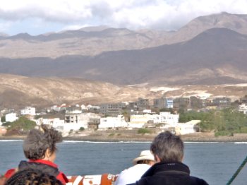
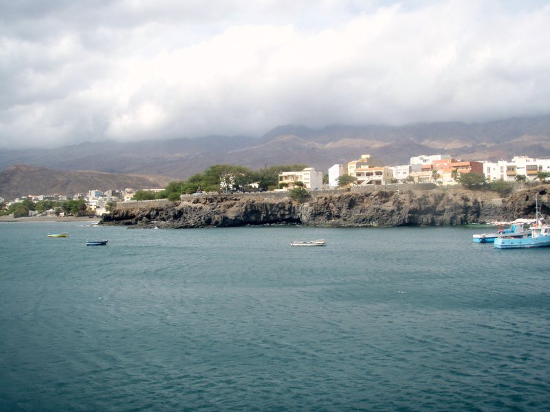
Our first view of the island. Trees and goats, not up trees you know - yet, I still have my evolutionary theory. Yes Dear. History. Despite its discovery in 1462, the island was only colonised by the Portuguese Crown ninety years later due to it’s inaccessible terrain. During the 15th and 16th centuries, the only reference that was made to the island was in The Tordesilhas Treaty ( author: Pope Alexander VI, signed by Ferdinand II of Aragon and John II of Portugal o 5th September 1494 ) which established an imaginary north-south line, dividing the world, as discovered by the Portuguese and Spanish. This line crossed past Santo Antão at a distance of 370 miles to the west. At the beginning of the 17th century, Santo Antão was granted to the Count of Santa Cruz. Nevertheless the son of the fourth Count kidnapped Mariana Penha de Franca, the wife of a Lisbon nobleman and was forced to flee to London, where in 1732, he made the island over by mortgage to local creditors. That episode was repaired by the Portuguese Crown.
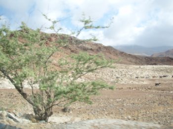
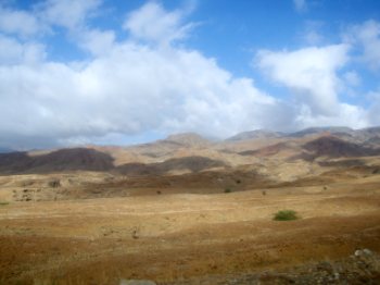
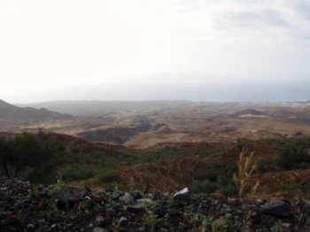
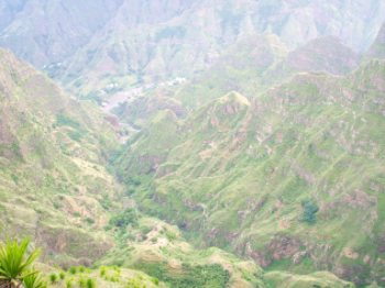
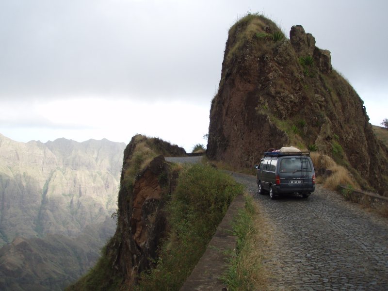
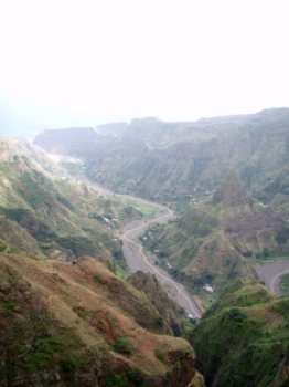
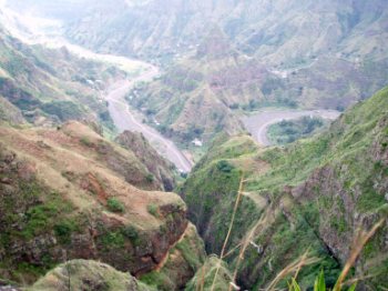
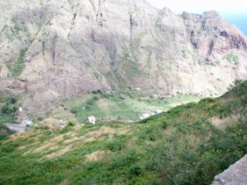
Looking inland, looking to the sea and yet another hairpin journey, just like the Atlas Mountains in Morocco. To the right of the third photo, just visible, is a truck on the steep narrow road. Breathtaking Scenery. Santo Antão is the island to visit for mountaineering and trekking. One of the most beautiful places is Cova in the area of Ribeira Grande, an ancient volcanic crater where today agricultural farmers work. Serious trekkers can descend the crater, settle down there for the night and the following morning climb the mountain to arrive at the beauty spot of Paul's valley (pronounce Poula). We were happy to take photographs from the road high above the valleys and leave leave the arduous stuff to those who like that kind of thing. At the top of the mountain, (1.979 m) at the small village of Corda, a microclimate enables a pine forest to flourish. You can stay in a small friendly hotel, enjoy nature at its best and breathe in the wonderful aroma of the pines. Another place to visit is Lajedos, a centre for traditional handicrafts.
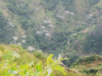
Terracing for crops, deep cut where sometimes waterfalls are seen, steep sided valleys.
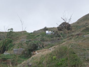
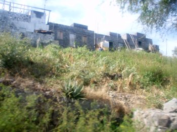
A hilltop residence, this chap had "made it", he had his home, a few crops, an animal shelter below, two goats, a couple of chickens and a rooster. What more did he want? Bear didn't want to live there as the drop outside the animal shelter was sheer down for about 500 feet. I quite fancied it. A hotel on a promontory.
An amazing view from the top. The
road took thirty years to build, by the Portuguese, they just seemed to
slice through mountain-tops if they were in the way. A passing Posh
Taxi...........
Santo Antão's people. Today the population is around 50,000, the majority living between Porto Novo, Ponta do Sol and Ribeira Grande (above), the islands administrative centre.
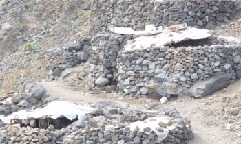
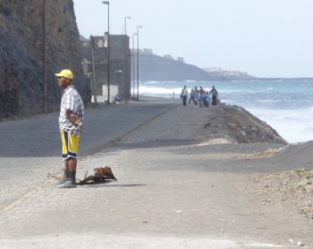
Poor people had built themselves a rock-igloo village. A schoolgirl can be seen in the first picture half way up the hill on her way home from school a four mile trek. We actually saw numbers on the "doors", a chap nearly home with a piece of corrugated iron for his roof. The school children behind him had walked from the headland beyond, from school. Near here we saw a rubbish dump behind a retaining wall being burnt, the first time we had seen active waste disposal.
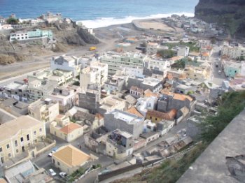
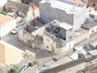
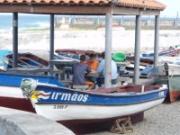
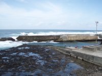
Typical town house, the hospital having roof repairs, three men on a scaffold, boys looking after the fishing boats and the treacherous entrance to the small harbour. This was Ponto do Sol on the north coast, everyone looked busy, all the houses under construction had men working on them and their were very few loafing around, unlike what we had seen on Sal. The people of Santo Antão are very hospitable and welcome visitors to join them as they gather at the small refreshing 'watering-holes' dotted all over the island to drink a glass of grogue. They live in the valleys and mountains, successfully cultivating the land for a living. They keep goats for meat and cheese. Planting and harvesting can be challenging, but the farmers have created an oasis amongst the sometimes arid mountain terrain. They grow mangoes, papaya, dates, bananas, potatoes, beans, tomatoes, maize, cocoa and of course the sugar for the famous grogue.
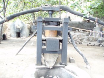
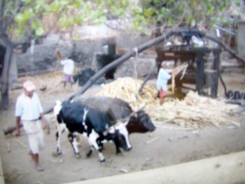
Bottle cleaning at one of the private grogue producers. The press and cows used to turn the press. Our host said his next pressing was "next week". I think it will take that long to clean off the bird muck, spider webs and grot. Skipper thinks it will be left for the unique flavouring. We only saw a couple of cows on the island and they were for use on the trapiches, the rudimentary machine used to grind the cane. The extraction of volcanic mud is used to make bricks and there is a fishing industry.
All in all an island with a soul and pride in its self-sufficiency. |

