Springbrook NP
|
Monday 9th January 2017 We’re getting quite good at this now – off the
boat and up to the bus stop for the 08:52 bus 711 to Southport. Called an
Uber when we got there for the 5-minute drive to Hertz rental round in Ferry
Road. We have walked this once, and that was quite enough. In this
heat, no chance. The Uber cost all of $6 and was worth every cent.
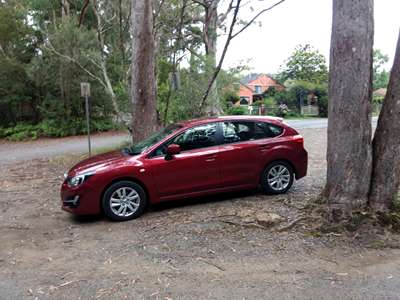
By 10:00 Steve was driving a dark red Subaru Impreza off the forecourt –
we had expected a white Toyota Corolla, which seems to be the most common hire
car here, but were not complaining, we’ve not driven a Subaru
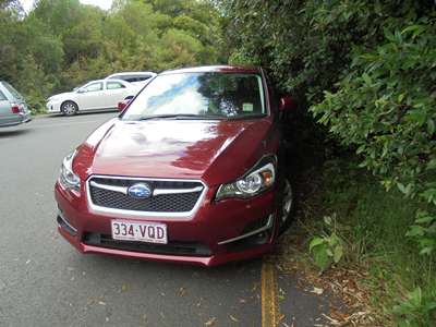
before. The front spoiler seemed to be a bit close to the road, but we
were only planning on being on sealed roads anyway, so would just need to
remember it when we parked. At $25 a day, around £15, it was a bargain.
The Subaru Impreza pictured later at our lunch
stop.
The low front spoiler. But a very nice car for $25 a day! So off we set towards the mountains, making a quick stop at
a supermarket for breakfast and lunch supplies and a bottle shop for beer and
cider supplies. Less than an hour later we arrived at the Best of All
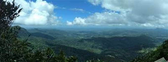
Lookout in Springbrook National Park. Wow! It really was a
wonderful view out over the Tweed Caldera. We were standing on the eroded
rim of Mount Warning shield volcano looking out towards the coast and Mount
Warning. Stunning!
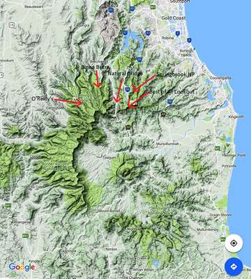
This Google map shows the rim of the eroded volcano.
Mount Warning stands at its centre. The various red arrows point to
places we would be visiting over the next few days. Springbrook NP has several such lookouts, many of which are
less than 500 metres from a car park, and so we did our best to see as many of
them as we could!
From the Best of All Lookout, Mount Warning is the peak
under the clouds to the right. We could see the sea, though it’s
not clear in this photo.
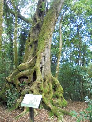
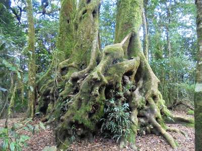
Antarctic Beech trees. Forests of these used to
grow in Australia, but 10 million years ago the climate became hotter and
drier, and now they grow only in isolated areas of high rainfall and cooler
temperatures, such as here. They are now a protected species in this
Gondwana Rainforests of Australia World Heritage Area.
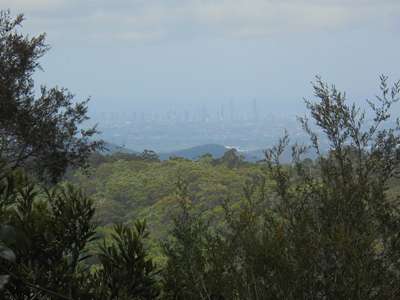
From the Information Centre we could see the Gold Coast
high-rises.
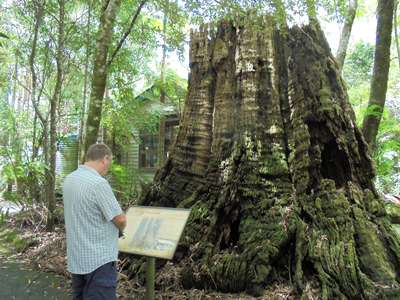
The Information Centre building started out as a
schoolhouse, built in 1910. A year later, it was decided that the 1,000
year old, 40 metre tall Blackbutt tree that it stood beside was a danger to the
building and the pupils, and so it was cut down and burnt. If the school
had been built 50 metres away, the tree could have been saved. These
days, trees that pre-date buildings take precedence.
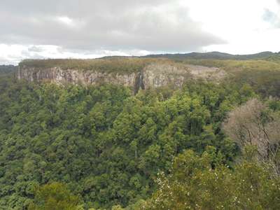
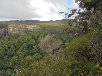
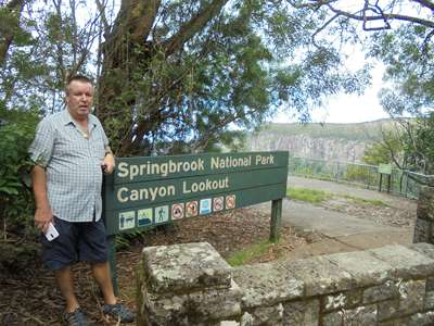
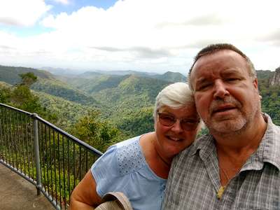
Views from the unsurprisingly named Canyon Lookout.
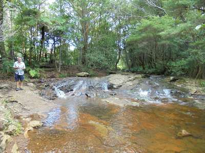
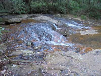
Goomoolahra picnic spot and falls. We found a table
right beside the water to enjoy our lunch at before strolling down to see the
falls.
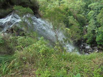
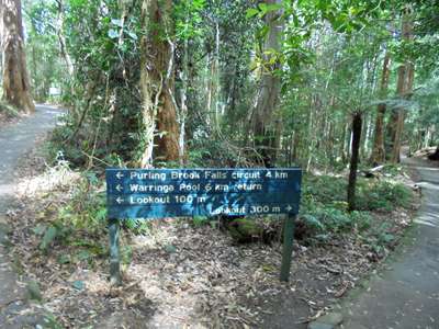
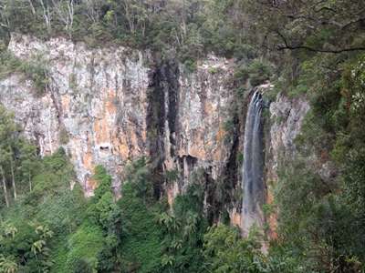
4km or 6km walk, or 100 metres to the lookout? We
opted for the latter, and were rewarded with this view of Purling Brook Falls. By now it was mid-afternoon, and we decided we still had
enough time to see Natural Bridge, about a half an hour drive away before
setting off for Binna Burra Mountain Lodge where we were booked in for the
night. So it was back to the car which we pointed back along the road we
came in on before turning left and heading back on ourselves, only slightly to
the west and into the valley. |