The Nut
|
Friday 5th February 2016 It was lovely to wake up to the sound of birdsong and to
look out of the window to see pademelons grazing around the camper van.
This really was what we had hoped for when we hired the van. There are no
hotels, motels or hostels here, nor even cabins. The only way to stay
here is to camp, pretty much as it had been in the previous free
campsites. And this is definitely the way to do it. Ten days were
not going to be enough, and we resolved to phone Apollo to see if we could
extend the hire. We were in no rush to leave, but as we wanted to make
Stanley today, we eventually closed up and set off along Bakers Beach Road back
to the highway. Our first stop was to be Devonport, a major port on the
north coast of Tasmania, where the ‘Spirit of Tasmania’ ferry docks
after crossing the Bass Strait from the mainland. We are considering
whether to return to Melbourne by ferry rather than fly – it might be fun
to cross the Bass Strait, even if not in our own boat. Or maybe
not. We’ll see. We arrived in Devonport mid-morning to find a very busy
town, and frankly, we were not really interested in towns at that moment.
We had already by-passed Launceston for the same reason, telling ourselves that
we could visit later by car, and so we did not linger to explore here
either. We passed the ‘Spirit of Tasmania’ in its dock on the
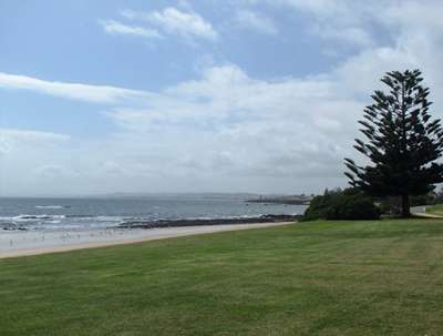
river, and drove out to the foreshore to take a look at Bass Strait. It
was a calm day and the seas looked very benign. Not at all representative
of its reputation right now.
Mersey Bluff and Bass Strait, looking very benign. Back on the road, we headed west along the north coast until
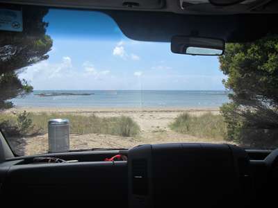
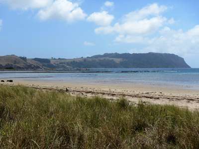
our stomachs told us it was lunchtime, and we turned off the main highway into
the little town of Wynyard, where we believed there to be a rest stop on the
foreshore. Our information proved correct, and we parked up just off the
beach for a bite to eat.
We parked virtually on the beach. Bacon
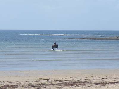
sandwiches for lunch – yum! Time for a stroll to work them off.
Unusual to see a horse paddling – he was really
enjoying splashing! Thought at first this
was The Nut, but it turned out to be Table Cape.
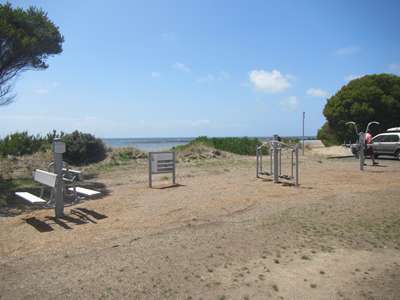
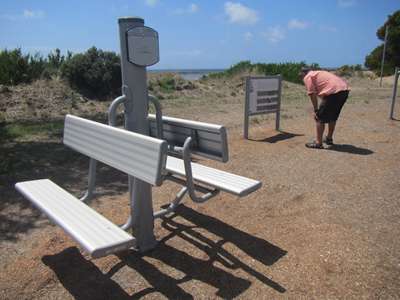
Next to the rest stop was an outdoor gym – not very
restful! We
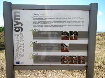
read the instructions very carefully before using the equipment.
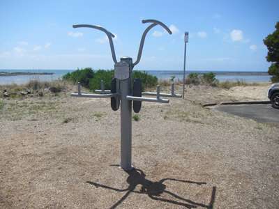
We gave this one a miss – way too strenuous! Apparently
the range of uses for the benches is limited only by your imagination. I sat on
it.
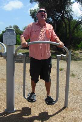
Steve couldn’t quite get the hang of this walking
machine as both feet wanted to go the same way at the same time.
Hilarious! Having completed our physical jerks for the day, we got back
on the road and continued to head west. Steve saw a sign for a scenic
route off to the right, and without warning decided to take it. When I
had recovered from the G-force, I checked the map to find that he was taking us
back the way we had just come, only this time via Table Cape! We decided
that we didn’t really have time to do this detour, so when we finally
found an appropriate place to do a U-turn, that’s what we did. It
was a pretty good view from up there, though, I have to admit.
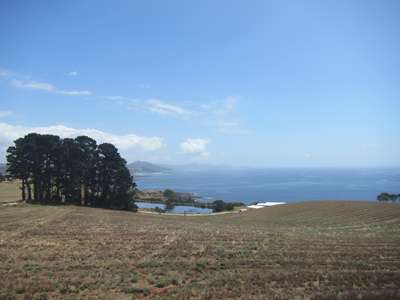
The view westwards from our detour up Table Cape. Having joined the main highway once again, we made good time
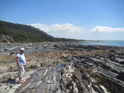
towards Stanley. We made one more stop on the way, this one at Brickmakers
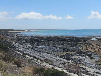
Bay. The beach here was lined with distinctive layered rock, reminiscent
of the petrified forest we saw on the South Island of New Zealand.
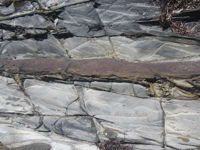
This looked like a seam of iron in the rock. Our
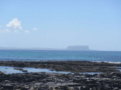
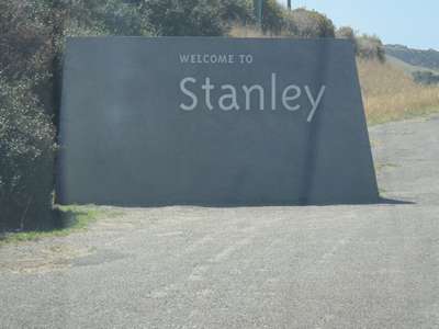
first view of The Nut from Brickmakers Bay. We arrived in Stanley mid-afternoon, and headed straight for
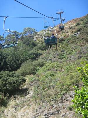
the Nut. There is a path to the top for the energetic, but we opted for
the chair lift.
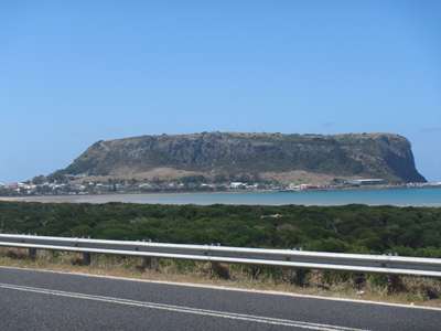
We pulled over as we arrived at Stanley, and took a shot
of the Nut from the road.
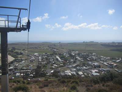
It was quicker and easier to take the chair lift to the
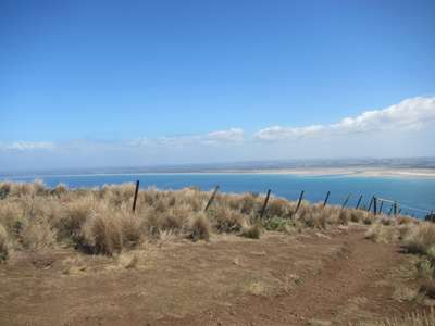
top. Once there, advised walking clockwise around the top, so we
did.
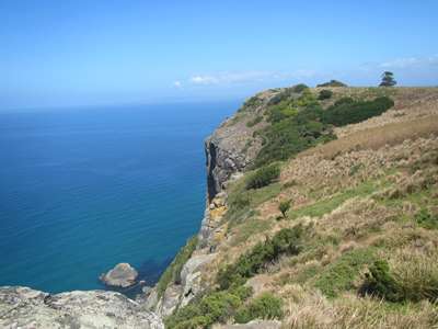
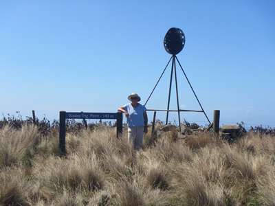
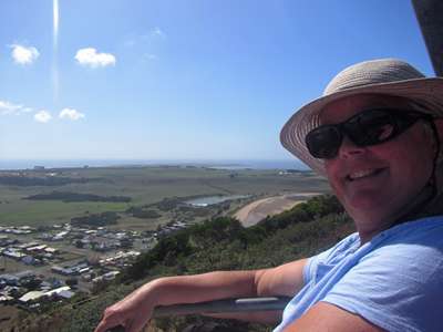
Looking out to seaward from the top of The Nut. The
sign says “Stanley Trig Point-143m”.
Looking towards the land.
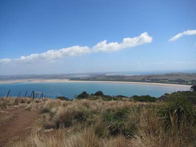
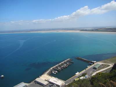
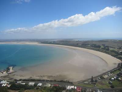
Looking down on the fishing harbour. The
east beach at Stanley. Tonight’s campsite bottom right near beach.
On the way down again. We had planned to walk down,
but decided to enjoy the ride and the view instead. Lovely. Back down at sea level, we did a slow drive around the town
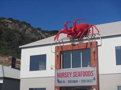
to get our bearings, noting a fish and chip shop near the fishing wharf.
It would not be difficult to find it again for supper later, as it had an
enormous lobster on its roof!
Couldn’t miss this fish and chip shop! Finally we checked into the camp site, got ourselves a beer
and went to sit under the trees that separated our pitch from the foreshore
path to watch the sun slowly dip towards the horizon. |