Kata Tjuta
|
Wednesday 21st December 2016 We were collected from our hotel gates at 0545 this morning
(Friday 16th December) by the coach which sped us (and 12 fellow
adventurers) on our 450 km journey towards Yulara, or Ayers Rock Resort, some
20 km from the rock itself, on the outskirts of which lay our campsite for
tonight.
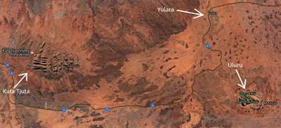
Google Earth picture showing Yulara, Uluru and Kata Tjuta The
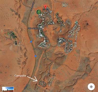
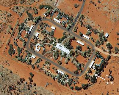
campsite was well secluded, away from the resort hotels.
A well-organised permanent campsite, with hot showers and
flushing loos. The big white building in the middle is the amenity block. The
long white building just above our tent was the kitchen and dining room for our
group, and here we stopped for lunch of barbecued chicken and salad, prepared
by the camp host, Tarny (presumably short for Tanya?!) In our group
besides us were an English couple and their two boys of about 8 and 10 years
old, two middle-aged French ladies who turned out to be our neighbours on more
than one occasion, two young couples, one from South Korea and the other
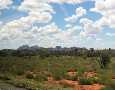
Italian, and a young French girl. An interesting mix and a nice group of people. After lunch we piled into the coach for the drive to Kata
Tjuta. It is also known as The Olgas, after the highest outcrop, Mount
Olga (546m), named such by the benefactor of Ernest Giles, the first European
to see the 36 monoliths in 1872, in honour of Queen Olga of Wurttemberg,
daughter of Tsar Nicholas of Russia. The geological origins of the rocky
outcrops are similar to that of Uluru, both having been produced by a combination
of sedimentation, folding and erosion. The first sedimentation is around
600 million years old. About 300-400 million years ago the whole area was
compressed – folded, faulted and uplifted. Kata Tjuta was tilted
upwards by 20 degrees, compared to Uluru which was tilted by a whopping 85
degrees. It may once have been a single monolith much larger than Uluru,
its present form a result of erosion. It is known that Kata Tjuta is rich in indigenous art, but it
is a significant and sacred site to the indigenous people and only a small area
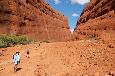
is accessible to visitors. In heat above 36 degrees, the longer Valley of
the Winds walk is closed, and so we (thankfully) did the shorter walk into
Walpa Gorge. The redness of the soil and the rock was emphasised by the
light, and the heat as we got further into the gorge was intense.
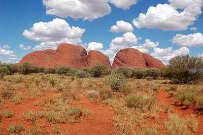
First sight of Kata Tjuta from the coach. Closer
up, the red of the rock and the soil really stands out.
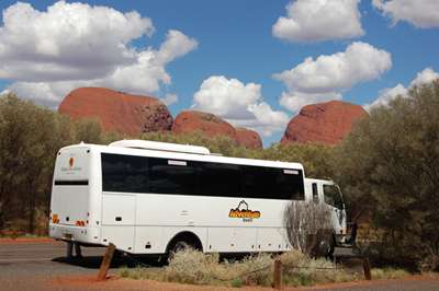
We left the coach to bake in the sun... and
set off along the path to Walpa Gorge.
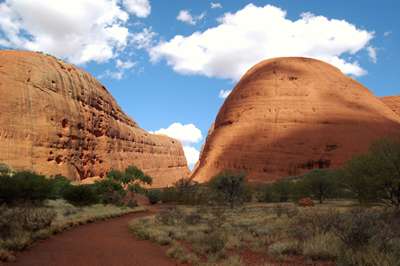
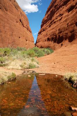
The rock is actually grey, but oxidisation turns it red. A
hot, dusty walk with not an iota of shade. No water in this gorge.
Actually, there is...but not much! Looking
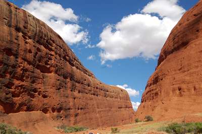
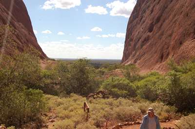
back as we near the viewing platform.
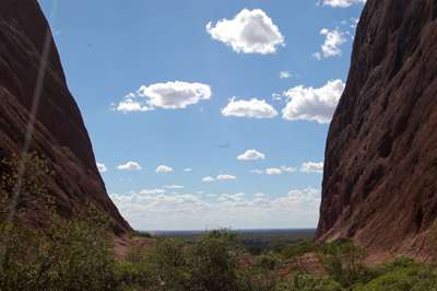
From the viewing platform, the light changing as the
afternoon wore on.
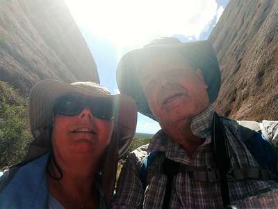
Not too good at this selfie-stick lark yet, but it’s fun trying! We lingered a while at the viewing platform, taking in the
peace and tranquillity. It was easy to understand why the first people
here thought it a special place. |