Wilson's Promontory
|
Monday 25th January 2016 It was about an hour’s drive to Tidal River on Wilson’s
Prom as the locals call it. We called into the Visitors’
Information Centre first to collect information sheets on the walks, and then
set off over the footbridge and out to Pillar Point lookout.
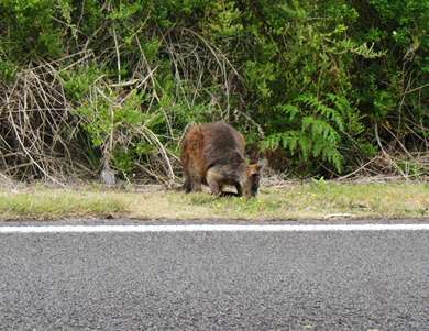
Our first close-up sighting of a wallaby, grazing beside
the road on Wilson’s Prom.
Views from the road leading to Tidal River.
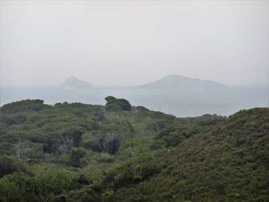
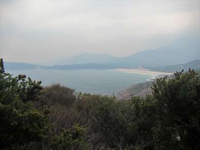
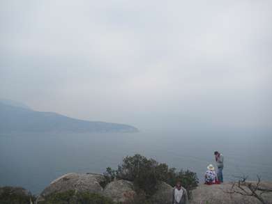
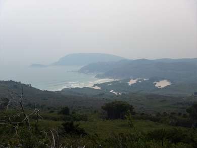
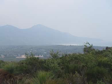
Pillar Point Lookout. Visibility was very poor, and a conversation with a lady who
visits Wilson’s Prom most years gave us the reason – smoke from bush
fires on Tasmania and the islands in Bass Strait. She had never seen it
so hazy, and suggested we come back another day if we really wanted to see some
spectacular views. Oh well, just our bad luck we happen to have chosen
today. We lingered a while at the lookout - it was still a lovely spot in
spite of the smoke – and then set off to retrace our steps two-thirds of
the way back to where the path divided and took the path towards Tidal River Overlook.
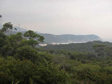
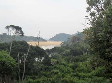
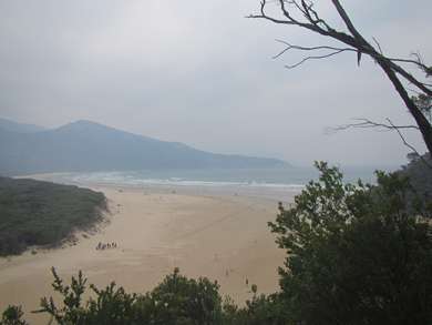
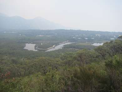
This was quite steep in places, but not too bad, and we could see Tidal River
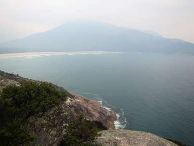
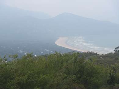
Bay on one side and Squeaky Beach on the other.
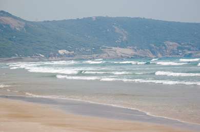
Views over Squeaky Beach.
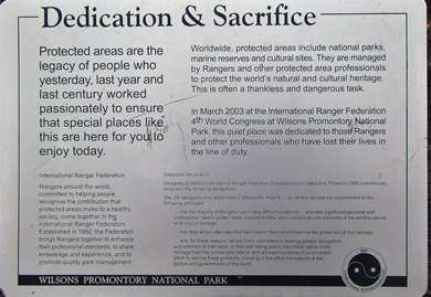
We stopped for our picnic lunch at the ‘Quiet place’
near the lookout which did have spectacular views. It is a place dedicated
to Rangers and others who have lost their lives in the line of duty.
The quiet place is dedicated to those who have lost their
lives making protected areas safe for others to enjoy. It overlooks Tidal
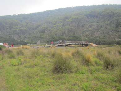
River. We then continued our way round to pick up the third track
which would take us back to our starting point at the bridge.
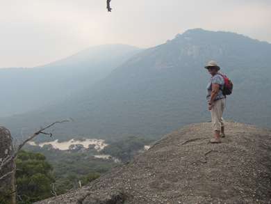
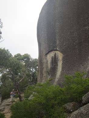
Not too close to the edge... I
am bottom left of this photo to give the rock scale.
The effects of Cinnamon Fungus on these plants is
tragic. Walkers are asked to make sure their boots are clean when leaving
to prevent spread.
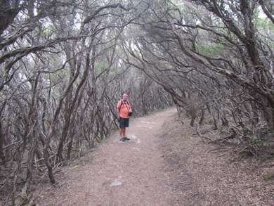
On the path back down to the river below.
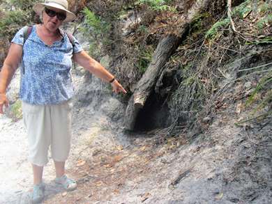
A wombat burrow? Again I am in the photo for scale! Back at the car park we dropped off our bags and went for an
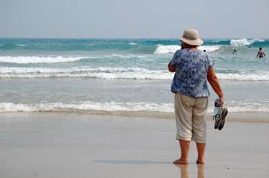
ice-cream to cool us down. Next stop was Squeaky beach, where we discovered
for ourselves how the beach got its name. Shoes off, each step made a
squeaky noise. We wandered along the beach for a while, but out in the
open the direct sun soon became too much for me and I made my way to some rocks
to seek some shade.
Squeaky beach. With a couple of hours’ drive still to Pam’s, we
left the beach and started to make our way north. We arrived at her place
in the early evening to a very warm welcome, a bowl of spaghetti Bolognese and a
comfy seat in front of the telly for the Australian Open. Wonderful. |