37:19.42N 23:08.81E Porto Kheli

37:19.42N 23:08.81E Porto Kheli
Sunday, 9th September, 2012.
We were up bright and early as the weather forecast showed continuous wind and it getting stronger rather than falling over the next few days coming from the north east. We let our lines go and manoeuvred off the quay in the West North West wind. Once out of the harbour it was west for about a mile and half when it turned back to North West as we crossed the Argolikos Koplos piece of water between Leonidhion and Porto Kheli. Jim soon had the sails up and during the 17 miles we hit 9 plus most of the way so we were soon passing the island of Spetsai and into the harbour of Porto Kheli. Passing Spetsai was like being in the Solent on a busy Sunday morning. Lots of boats were coming out of Porto Kheli and ferries were on the move and sails were being launched everywhere.
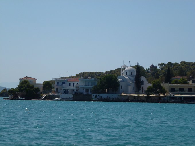
The long quay was built in the 1960’s when Porto Kheli was nominated as a NATO base. The plan was shelved and the unfinished harbour and airstrip nearby which small planes use now is all that is left of the NATO plans. Hotels have been built around the bay with a beach area nearly all the way round. Although not huge town it appears to have tavernas, shops and a quay with palm trees.
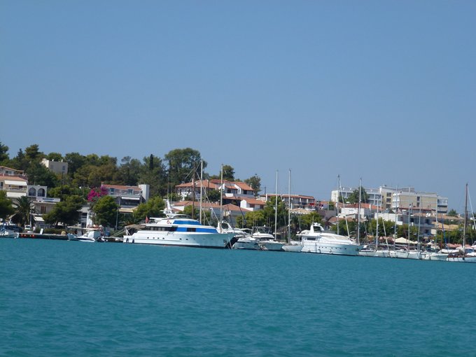
The bay is covered with anchored yachts big and small. There is also the usual amount of what looks like old boats which have outlived their use which have been anchored and left to the sea.
Monday, 10th September, 2012.
We saw a turtle sunning itself just 20 metres from the boat but a speed boat came along and disturbed it. We have bright sunshine but a very strong wind so we are anchored still in the bay enjoying the peace of not being on a quay with the lines snatching.

