43:00.26N 06:12.44E Ile de Porquerolles
43:00.26N 06:12.44E Ile de Porquerolles
Friday 4.6.2010
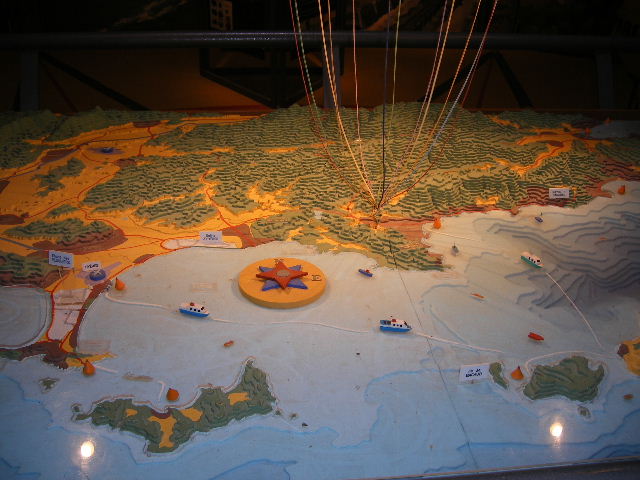
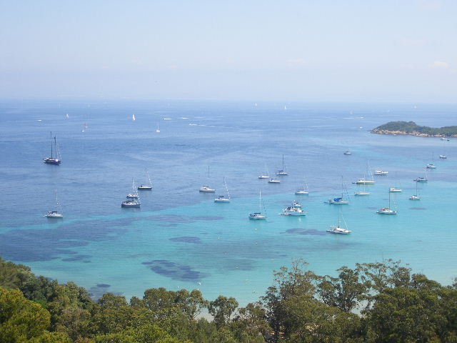
The Iles d’Hyeres includes four islands, Ile de Porquerolles, Ile de Bagaud, Ile de Port-Cros and Ile du Levant. These islands are referred to as the Porquerolles after the largest island. None of the islands are very large and Porquerolles the largest is 4 miles by 1 mile across. The islands are quite high and can be easily recognised from the west and east. The islands are very popular as it is only 17 miles from Toulon and an equal distance from Cavalaire in the east for local sailors. Day trip boats mostly visit Porquerolles and Port Cros. Although Levant is controlled by the military and quite a large mount of the island is for their use only there is a serious naturist colony at Heliopolis for sun worshippers similar to a religious sect. Visitors to Heliopolis are asked to leave their camera’s behind as the naturists are not to happy for people to take cheeky pictures!
Baguad is a natural park and can not be visited.
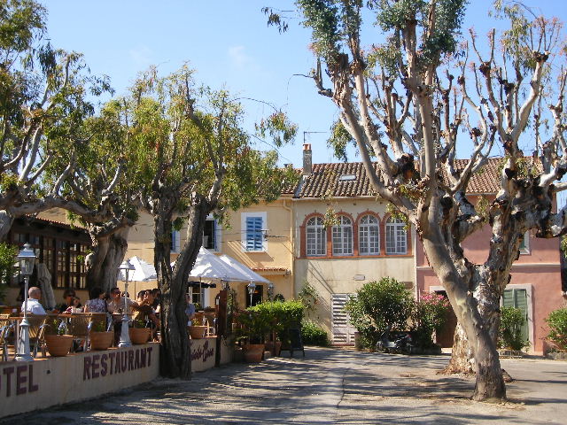
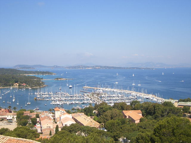
Porquerolles village was built about 100 years ago by the military that used the island. Today there are many houses built around the marina area and we witnessed lots of people coming onto the island with cases on wheels as though they perhap live there at weekends. The island although small does have two hotels in this small area and a Michelin star restaurant which is great for such a small little town.
Along the beach area is a large dive school with three large inflatable which come and go all day long.
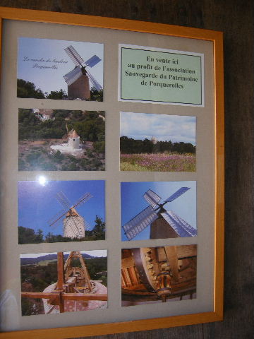
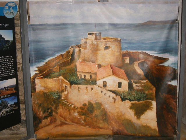
We visited Fort Ste-Agarthe behind the village up a steep hill very near the windmill which has been restored and is beautiful. The fort was captured in 1793 by the British. The British and Spanish fleet fleeing Toulon after its capture by the Republicians anchored off the Rade de Porquerolles. The French commander at Fort Ste-Agarthe had been forgotten by those on the mainland and he had little idea of the problems there. The British Admiral of the fleet invited the French commander on board and while he was happily drinking the Admiral’s claret, the sailors captured the fort and blew it up. The British then sailed off and took the French commander with them.
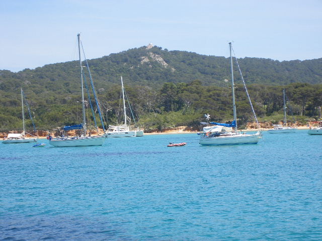
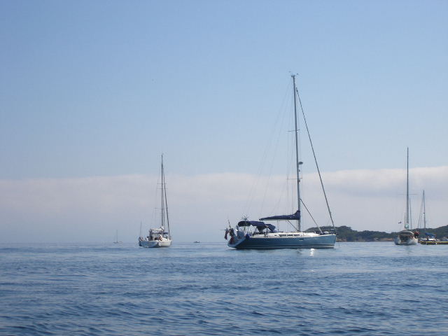
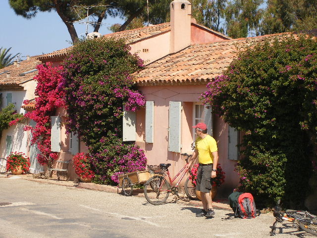
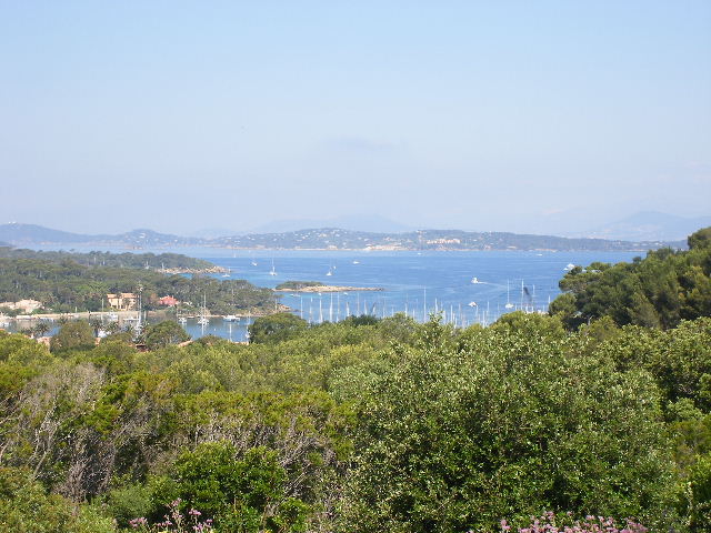
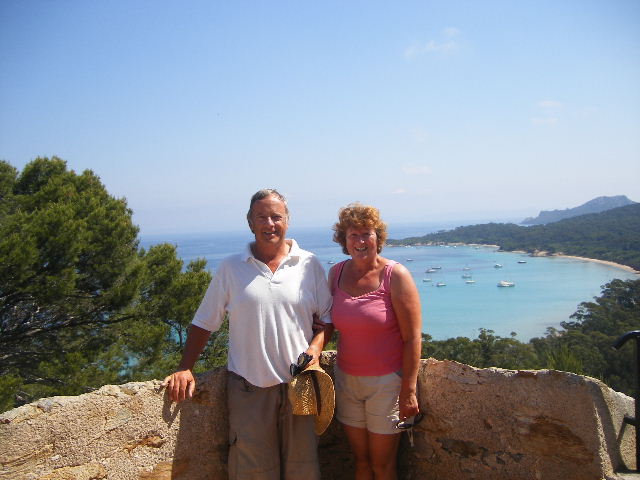
The views from the castle were beautiful and we had a good view point of the whole side of the island. Ariel looked very nice sitting very still at anchor in the bay. The ground is obviously very futile as there are a large amount of vines being grown all over the island. We suspect the grapes are picked and taken to the mainland for processing. The town square is surrounded by small restaurants, shops selling holiday gifts, ice-cream vendors and lots and lots of shops for bicycle. Lots of bikes were on the move and it is quite funny to watch the people who have not been on a bike for a few years as they negotiate the main high street which does not have a made up road. Most French seem to arrive without any picnics which must make it an expensive day out for a family after they have hired their bikes, lunched, had ice-creams and bought the kids something from the shops after paying for their return boat trip tickets.
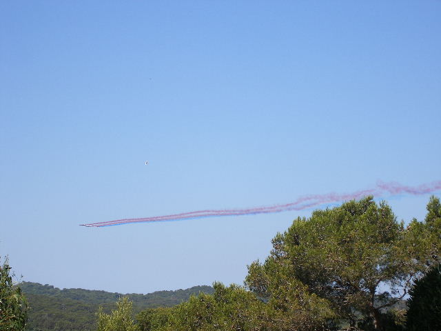
We were back at Ariel after our walk and an air display of 4 planes flew over and gave us a show of coloured vapour of red, white and blue.
We were lucky to anchor in sand outside the yellow buoys and the first night was so still we didn’t know we were on the water. The temperature was only 20 and we had covered 16.9 miles from Toulon.