36:25.76N 22:29.18E Port Kayio
36:25.76N 22:29.18E Port Kayio
Thursday, 30th August, 2012.
We paid the marina, took the hire car back and got fresh hot bread and we were on our way by about 10.45 a.m. We motor sailed the first 19 miles of the day’s total of 48.75 miles down the coast heading for the second headland we need to round on our journey. After motoring to Diros on Tuesday it was nice to see the villages from the sea view. After Diros the villages became more remote but still very castle like. The mountains became more barren and scorched and we lost the green olive trees covering the land.
Just after Diros we approached Capo Grosso which is a vast mass of rock. The cliffs rise sheer from the sea to 800 feet and it is split by ravines and there are many caves near the water’s edge. The diver’s boat was just under the cliff. The locals believe that some of the caves on the cliffs have been walled up and contain wealth of the Mezapo pirate families but with technology of today I guess much has already been discovered.
We came across seven or eight dolphin and several of them were babies. Following up not far behind was a large one and another baby. It does not matter how many dolphins we see it is always a delight.
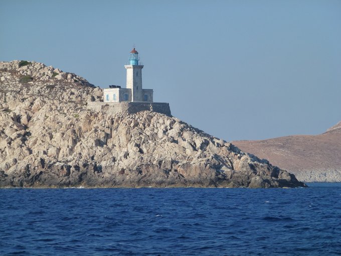
After passing Capo Grasso we were sailing along in 10 knots of breeze quite happily. As we came up to the southern point of the middle Peloponnese peninsular, Cape Matapan we jived around the point with the lighthouse and we found the wind was gusting over the headland and along the short distance to Port Kayio and we topped out at 26 knots true. We reached the safety of Port Kayio and anchored in the SE corner and luckily avoiding the worst of the gusts which continued until 11 p.m. The weather forecasts and books say Cape Matapan has a reputation for very rough weather and lots of wind off the headlands. It is believed to be the cape where Odysseus was blown south to the land of the Lotus Eaters as the current off Malea took him out to sea and a fresh gale from the north drove him on past the island of Kythera.
Just as we were racing along and making our way into Port Kayio we saw masses of tuna all jumping! Jim had to take the rod in back at the point so no fish for tea again.
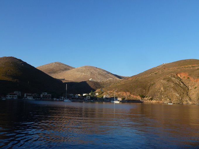
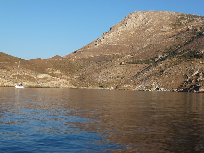
Port Kayio is a small hamlet which in ancient times was called Psamathous and Porto Quaglio by the Venetians. Quaglio means quail and apparently great numbers of quail were caught here and salted for export. The bay was used by the Venetians, Turks and various pirates of whom the most famous was Katsonis who was a freedom fighter come pirate. On the quay is a statue of him looking out over the bay.
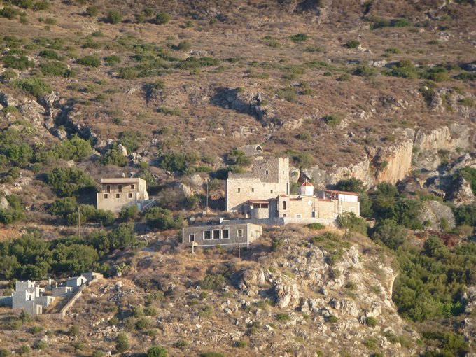
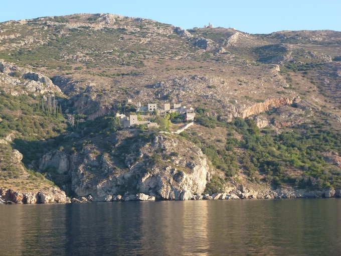
In 1980 there were only a few families including the fishermen living in the small hamlet but now that yachts and campervans venture here it has rejuvenated the area. Nearly every building on the very small quay was a taverna, four in total. On the cliffs are several mostly castle type houses with a few houses around them. We can understand people being here for the summer and enjoying the views and sun but the roads are not much more than dirt tracks this far down the peninsula and it must be quite difficult living here in the winter or getting to work.