Noumea to Kupang Day 10 - Transiting the Torres Straits

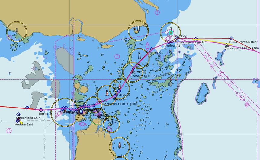
Position 10:23.17 S 142:39.47 E Date 1200 (UTC+10) Sunday 11 October 2015 Distance run in 25hrs 164nm over the ground, 156nm through the water Trip total 1636nm over the ground, 1599nm through the water To go to Kupang Indonesia 1169nm The chart below shows our route through the Torres Straits which followed on of e main shipping channels. It goes from the Bligh Entrance in the north east to the Prince of Wales Channel in the west. If you look carefully you will see triangular markers showing our position at noon yesterday and today. The earlier part of the transit took place overnight and the Mate had a busy time as seven ships going the other way appeared to wish to share our bit of channel. AIS is a wonderful thing and the information that it provides enabled ships to call us, and vice versa, to make sure that there was no mistake as we passed. The Skipper was up a number of times but mainly to deal with course changes and sail setting. Typically when I took over at 0300 nothing else passed us for the remainder of the day to noon.
The route through the Torres Straits from the Bligh Entrance in the East to the Prince of Wales Channel in the West The pole was dropped before dark as overnight we would be coming round onto the wind. For the transit we were blessed with a good wind and for the most part a favourable current, this made for good progress after the light winds of yesterday afternoon. The day’s run is 25 hours as we put the clock back one hour in order to keep sunset at a sensible hour as we go west. One of the odd things I find is that when planning a transit through reefs and shallow water I get a mental picture which treats the shallows as solid land. It therefore comes as a surprise to find that you are looking at a great expanse of open water, albeit most of it not navigable. The channel for the most part maintains a depth of 20 metres but at times is restricted in width to under a half mile.
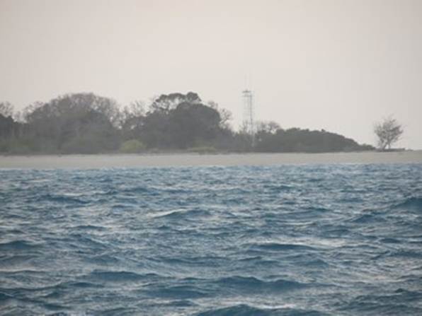
First sight of land just after dawn, a typical obstruction but well-marked with lights and a tower
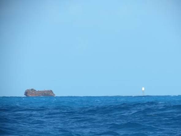
This little charmer looks remarkably like a ship from this angle. The reef extends underwater from the rock towards the beacon and the channel |


