Baie Prony and the Carenage

Position 22:18.17S 166:51.32E Date 1240 (UTC +11) Wednesday 22 October 2014 Distance run – 16.8nm over the ground, 15.7nm through the water Time from Baie Uie –2hrs 40mins
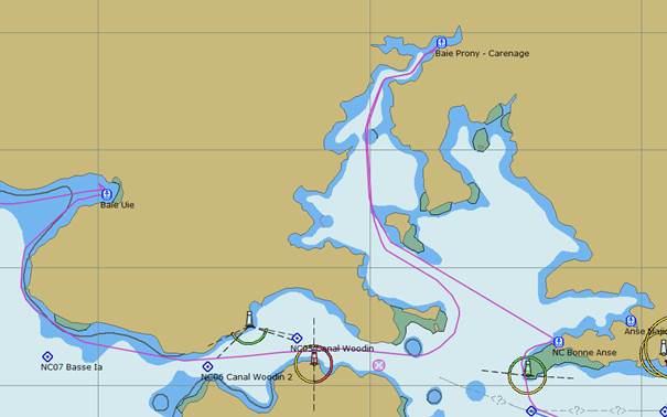
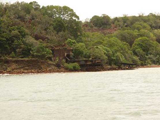
The sail around through the Canal Woodin was of course against the wind. We did however have the benefit of the tide which at the two points of constriction, west and east, provided over 2 knots of assistance. One we started to turn north it was out sails and engine for a leisurely sail up the Baie Prony towards the Carenage bays at the top. The next photograph shows evidence of the modern mining that is taking place on the eastern side of the Bay. Hidden behind the hillside is a huge smelter complex with the wharf providing docking for fuel tankers bringing the motive power and ships exporting the raw material.
The industrial complex on the eastern side of Baie Prony
Approaching the Carenage there is evidence of earlier mining activity which included cobalt and chromium. This dock with a tunnel through the hillside was used as recently as 1947 for the export of iron ore to Australia.
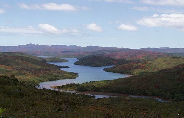
Looking west down the Carenage anchorage, a most beautiful spot
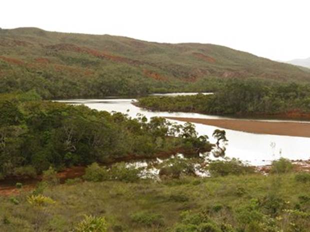
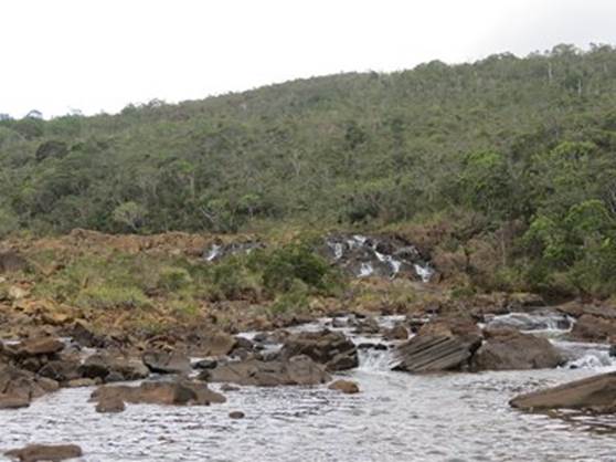
A closer look at the river in the foreground which is navigable with care in the dinghy
The waterfall was as far as we could get
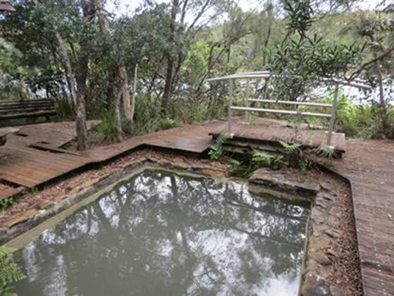
Just downstream from the waterfall was a jetty and path leading to a hot spring that at some time had been landscaped. Whilst it was warm we declined to sample the somewhat well used looking waters. There were a number of walking trails into the surrounding hills that we explored |
