Oyster Island, Peterson Bay and the tale of two rivers
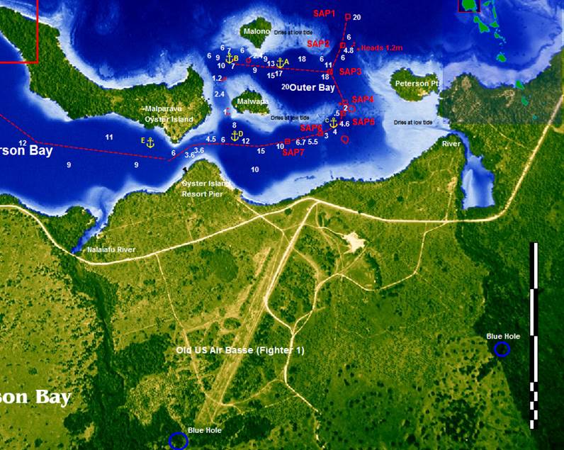
Position 15:22.823S 167:11.660E Date 1015 (UTC +11) Saturday 11 October 2014 To Monday 13 October Distance run – 5.3nm over the ground, 5.4nm through the water Time from Aesi Island anchorage – 1hr 5mins Peterson Island according to the pilot provides some very secure anchorages. They are difficult to get into due to a lack of depth at the pinch points between coral.
Confusingly this diagram is East up, North to the left There is however a great outer anchorage, in between A and B on the diagram. The airfield and surrounding military installations were home to over 100,000 American servicemen during World War II. The two blue holes that we visited are also marked on the diagram. With not very much in the way of wind we motored the5 miles to join Firefly and Pacific Cool. Whilst in Peterson Bay I made a start on cleaning the hull. The first tranche was snorkelling which allowed access tote water line and the first metre or so of the underwater growth. The second tranche was a one tank dive of 90 minutes that cleaned from the bows to the aft end of the keel but not the keel. The hull had accumulated a great deal of weed and crustaceans which was hard work to remove.
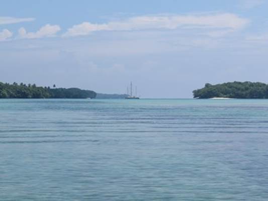
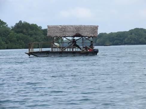
Caduceus with Firefly behind in the outer south anchorage at Peterson Bay The Oyster Island Resort was closed on Saturday but on Sunday we were able to share a meal there with Paul and Suzie from Firefly and Bill and his son David from Pacific Cool.
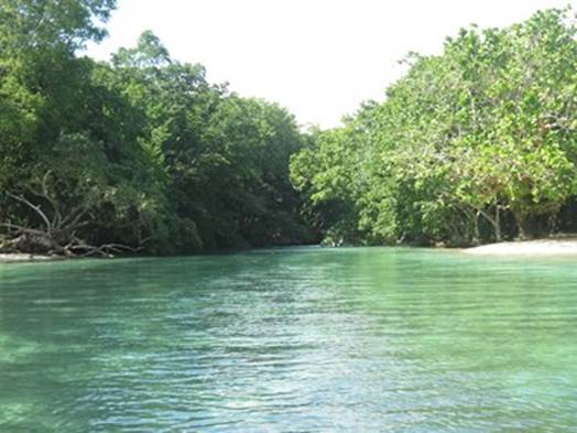
The entrance to the RiRi River, out of the southern end of the bay, leading to a Blue Hole
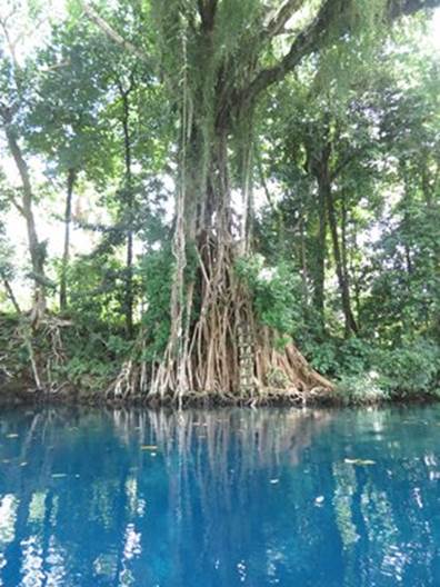
The RiRi River, beautiful foliage and quite a current
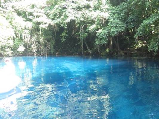
RiRi blue hole
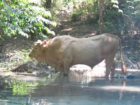
Flora and fauna. Cattle are big business in Santos with most beef exported to Japan
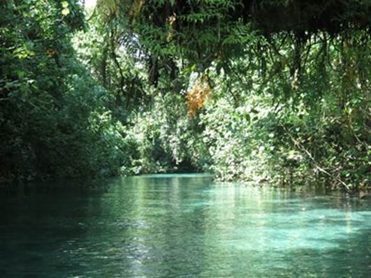
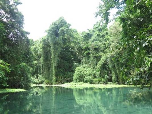
Stunning foliage on the way up the Matevulu River towards the northern of the blue holes
The Matevulu blue hole
An amphibious shed – the Oyster Island Resort ferry |