Pico
|
We hopped on the ferry for the 5 mile crossing to Pico as there's nowhere to park our boat, so we had to book a hotel and spent the first day lounging by the pool ;-) Just as well as the next day we were to tackle the highest mountain in Portugal. To ascend Pico you must either take a guide, or a GPS tracker, as people have died on the mountain, so they take safety very seriously. The guide is responsible for organising any rescue, so it is safer to climb with one. Many people do the climb without a guide and we saw some very young children on the route, but none at the crater. There are marker posts at roughly 100m intervals, 47 in total. At no 21 we were amazed we weren't even halfway up. We had a great guide - Caroline was a bit slow, so our guide
stuck with us and the rest of the group pressed on with another
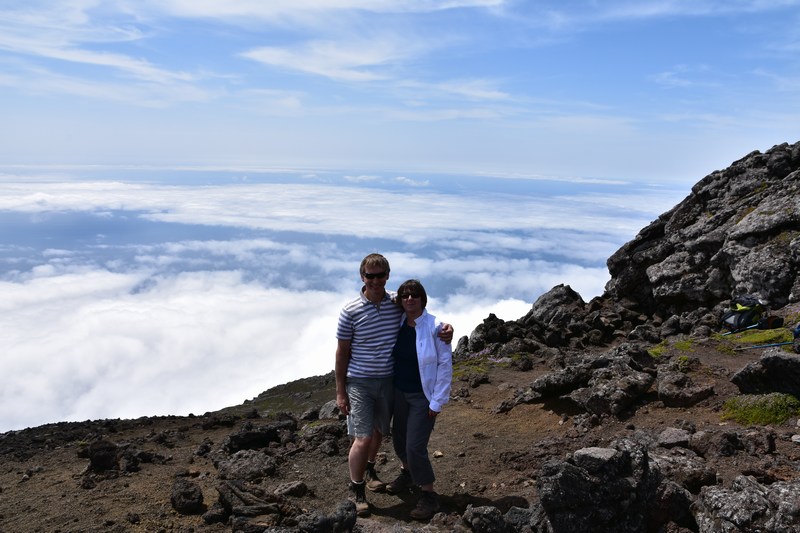
guide. We walked above the clouds again and we made it to the
main crater. The scramble/climb up to the actual peak
(ironically called 'little Pico') looked a step too far
(especially given the almost 100% cloud cover below us). So we
reached 2,251m altitude in the middle of the Atlantic, but it
took all Caroline had. The descent, because of the steepness and
loose scree, caused some people more trouble than the ascent. View from the top - atmospheric pressure dropped to 789mb. 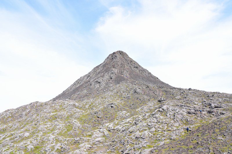 Look at the wide-angle shot, this is the little lump on top. Despite jelly legs, Caroline wasn't the slowest back down, but we've both taken 2 days to recover from our aching limbs. This was Caroline's first big climb since her accident, but amazingly she had no ankle pain. 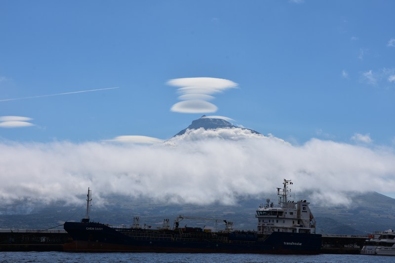 This is the same view from the boat as before, but shows the amazing cloud formations you can get - the clouds form on the peak, then lift up as the mountain warms, forming those layers. Little Pico is just visible on the left at the top. |