The Ups and Downs of a Volcanic Island
Zoonie
Sun 30 May 2021 13:32
|
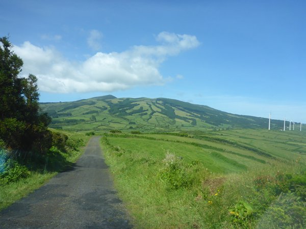
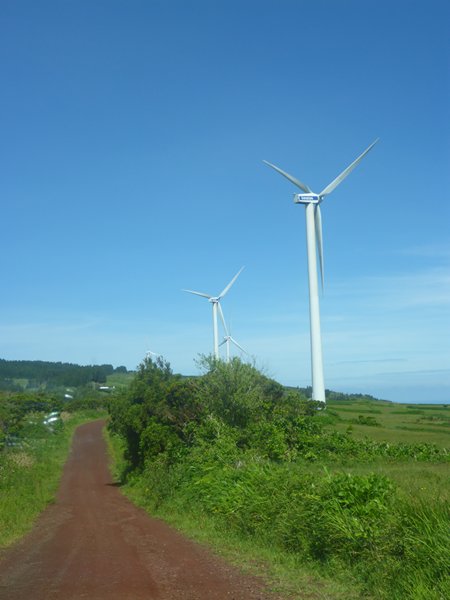
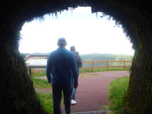
We left the spiral staircase of the lighthouse and the coast and climbed
the steep roads towards the heart of the island; the Caldera do Faial. Old
windmills are now superseded by modern, towering wind turbines that produce 22%
of the islands electricity and we left tarmac roads for the red ochre colour of
the dirt track upwards.
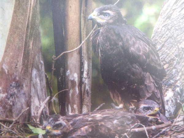
When the Portuguese first came here in the 15th century, 1427 to be exact,
they saw the same dark feathered birds soaring high above their heads and
thought they were eagles, hence the Portuguese name; Azores. Well that is one
theory. The other is a derivation of the word Azzure, or blue, which would
certainly have been a suitable description of the sky and sea on the day of our
tour. The birds are in fact a local version of the common buzzard found all over
the northern hemisphere and Eurasian area. The local ones have a darker plumage
and are slightly smaller and are, as their name suggests, common. We saw a few
pairs, high up riding the thermals.
While I remember, the third fault and plate associated with the seismic
activity is the African plate, as you may have guessed.
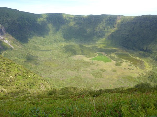
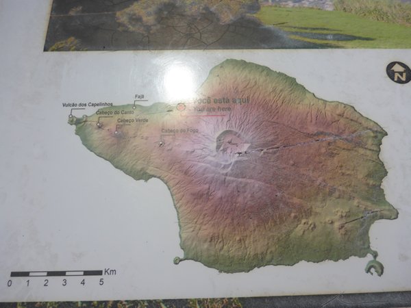
The beautiful and quiet Caldera, with its many hues of green and over 30 %
of the island’s endemic flora present, used to have much more water in it, but a
small crack appeared during one earthquake and the water drained away. The
caldera is 400,000 years old and has formed in active stages during that time.
The caldera is 2km wide and the highest point of the rim is 1040 metres. Many
people were happily walking the rim in the lovely clear warm weather and some
will have walked from the beach we had just visited on one of the well marked
trails.
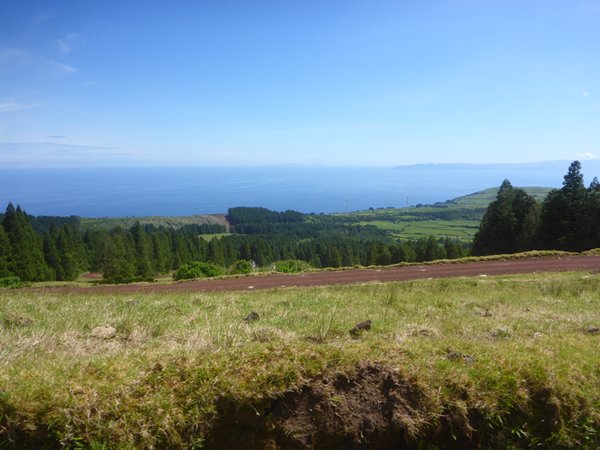
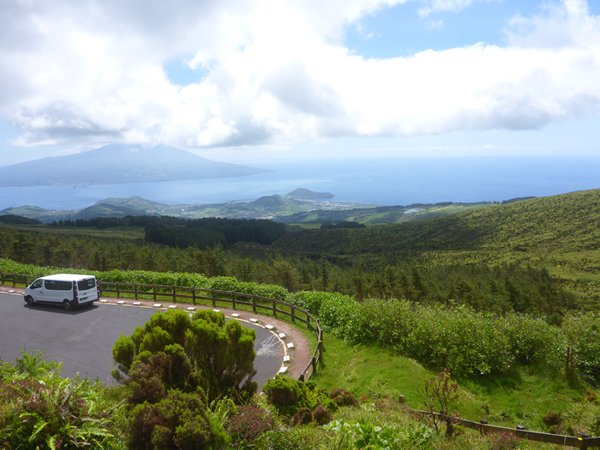
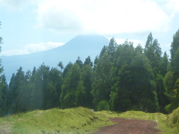
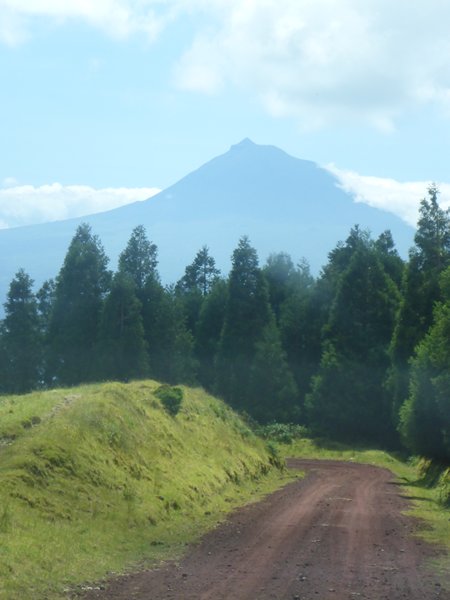
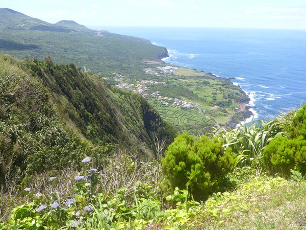
After a few minutes admiring the silent majesty of this central basin we
descended the track once more, leaving above us the white clouds that had masked
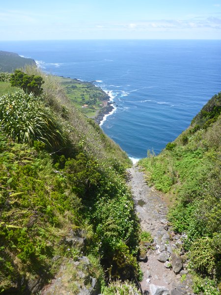
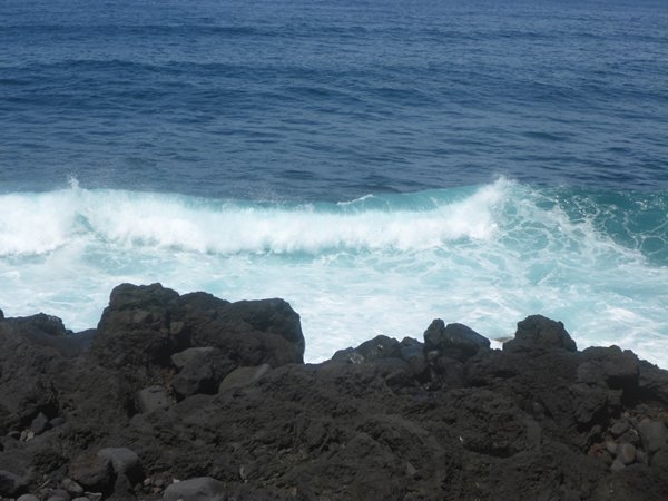
the peak of Pico, and headed for the viewpoint overlooking the Faja at Ribeira
das Cabras. This flat (Faja) area created by lava flows cooling on contact with
the sea is the youngest part of the island, formed in the last 10,000 years, the
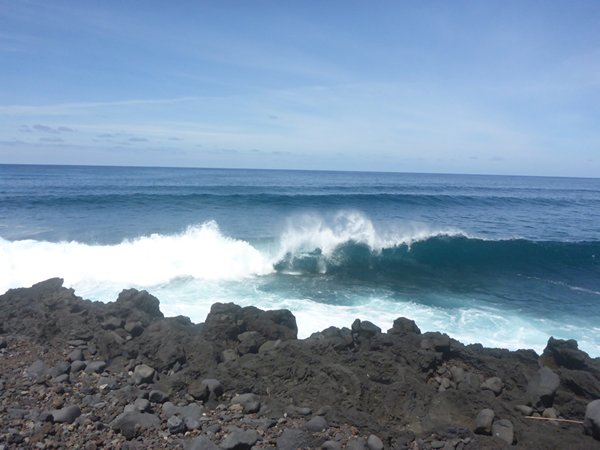
most recent activity being in 1672 and 1957/8 and the view looking down on the
rollers breaking onto the shore was quite special.
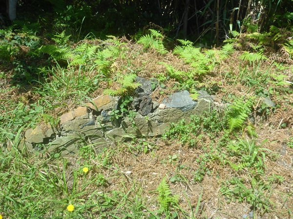
You may wonder why we stopped beside the road to take the last photo which
appears to show the apex of a roof at ground level? Well that is the remains of
a home that was buried when the pyroclastic cloud from the 1957/8 eruption fell
back to earth and buried the north west part of the island causing immense
destruction and a permanent change to the way of life on the island. More about
that in the next blog. |