Backtracking to Prony Bay
|
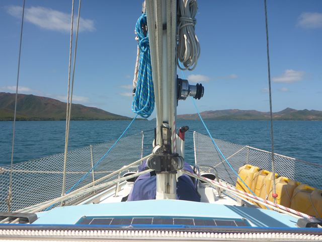
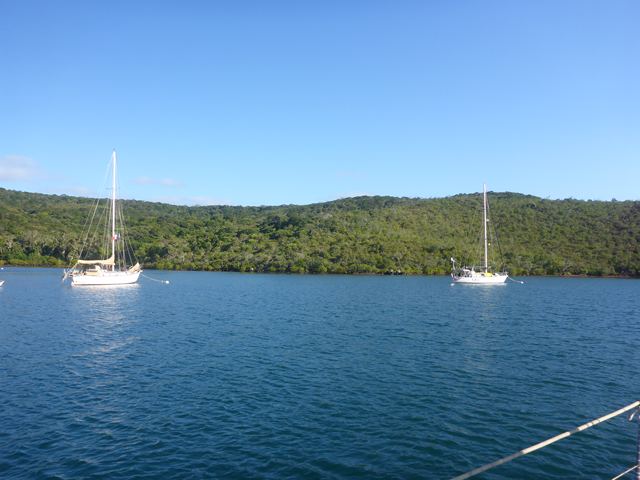
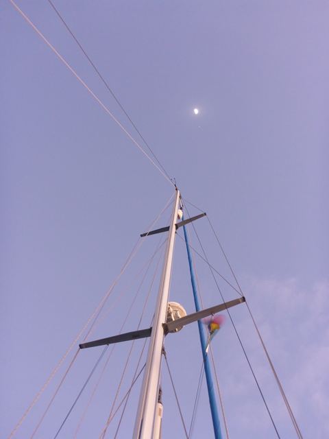
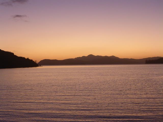
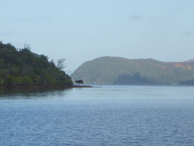
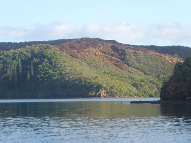
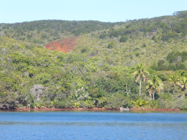
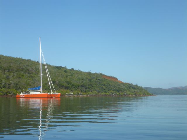
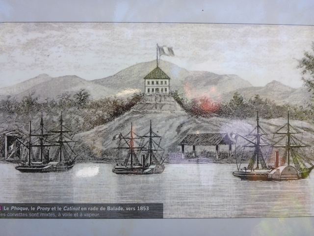
Backtracking to Prony Bay Doctor Sails, more personally known as Yves took just a couple of days to re-stitch every seam of the mainsail with two rows of white stitching you can see in the photo lying over the top of the original brown thread and the Guadeloupe repair, so then we only had to wait for a strong South Westerly to fade and we would leave Noumea after nine days of marina shore-life. We were motoring in a blue hazy calm back down the black line on the chartplotter the way we had come in. One of us said “Let’s put her on auto pilot so we can relax” on the long passage across to Canal Woodin between Ouen Island and Mont Mao and the entrance to Prony Bay, part of the Grand Sud (Big South) as it is called which includes the communes of Yate (the estuary of the area where the Blue and White Rivers converge into the Yate Lake we visited with Francois) Mont Dore which is the area surrounding the ‘mountain’ in the dry forest we passed with Francois just outside Noumea and Ile des Pins, the southernmost island of the lagoon. The bay was first explored by the ship ‘Prony’ under the command of Captain Jean Joseph de Brun you see looking very pensive while his portrait was being done, do you think by an artist or photographer? The Prony was a steam driven side wheeler with sails as you can see in the sketch. However the little black display screen of the autopilot cockpit control failed to light up. Dead as a door nail and Rob checked connections and could not see what was wrong. We did discover that we can operate the auto pilot from the chartplotter down below, so we have not lost the facility altogether and we will use it this way on the passage to Australia and get it looked at there. Carolyn had told us about the municipal round white with a blue stripe buoys we can pick up in some of the coves in Prony Bay to protect the seabed in the area, especially the sea grass. They are free to use and maintained regularly by the marine authority. So our first stop was in Anse Majic, Magic Cove, in the East Bay of the estuary, and it really was magic. Once secure we sat back in the cockpit and listened to the abundance of birdsong, clearly numerous different species singing their hearts out. I have been using a brochure entitled ‘Bilan Environmental’ or environment spreadsheet which illustrates the results of a ten year study of the environment in the Grand Sud. The environmental organisation’s website is www.oeil.nc/10ans and its name ‘Oeil, Observatoire de l’environnement’. It is of course written in French so I am enjoying the challenge of translation. The brochure states the birdlife is stable and being monitored but in the vast area of the Vale NC Nickel mine it is mediocre because of the noise of the mining activity, the dusty air and the shrinking areas of natural habitat. I guess the bird population moves to tolerable areas and this is one of them. The water to begin with was cloudy, still settling down after the windy days. But on the second day it was clear enough to take photos of the buoy and its two sinkers, concrete cubes linked together you can see on the bottom, the newer one added recently reassuring us it would hold in a strong wind provided the link between the two held. It is always risky picking up buoys as often one has no idea how sound and secure is the sinker and tackle. A golden rule for us is only pick up big buoys (!) that reflect the proportion in size of what is below.
|