Atlantic City 39.22.200N 074.24.500W

Suzie Too - Western Caribbean
David & Suzanne Chappell
Fri 2 Sep 2011 11:20
|
We motored most of the day yesterday in light airs and then sailed for the
last few hours into Atlantic City. I was keen to do a day or two there, as I
thought it was a cheapskate way of doing Las Vegas, not that either of us fancy
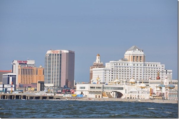
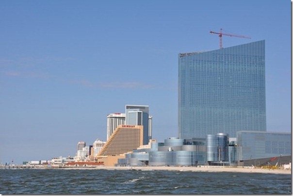
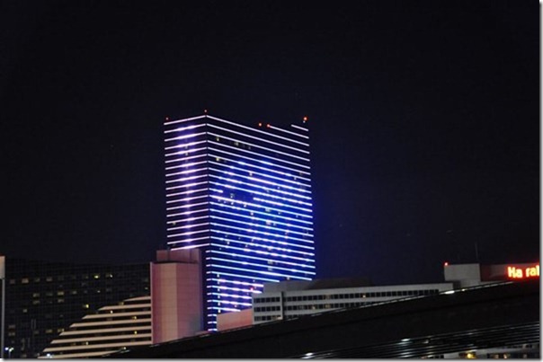
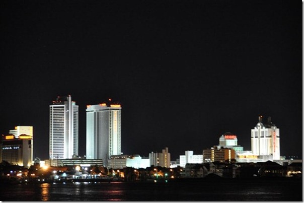
going there. I have to say the place looked awful, a huge complex of concrete
called Hurrahs, Showboat, Trump Taj Mahal all flashing lights and we didn’t go
ashore.
The anchorage was in the ICW Inlet and the current flowed at 4kts and I was
concerned as there was a low 50ft bridge behind us that if we dragged would
dismast us, bad enough dragging onto a sandbank but at least you have a chance
to get off. As usual we set the anchor alarm and in the middle of the night it
went off, I looked at it and it showed 0.13nM drift. Shit, I called, actually
quite nicely to Suzanne, “Suzanne we may have a problem” and leapt out into the
cockpit, closely followed by Suzanne where all was OK. Just another timing
glitch on the US GPS satellites, as when we went down the Furuno was showing
0.03Nm and the alarm had cleared, but my heart took quite some time to
settle.
In the morning we set off to Cape May, sailing in light airs at about
walking speed, bloody Irene stole all our wind !
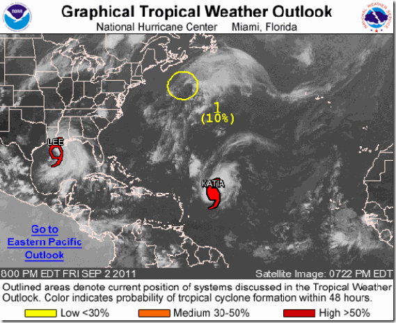
Below Hurricane Report for Friday 2 September
THE NATIONAL HURRICANE CENTER IS ISSUING
ADVISORIES ON HURRICANE KATIA...LOCATED ABOUT 630 MILES EAST OF THE NORTHERN
LEEWARD ISLANDS...AND ON TROPICAL STORM LEE...LOCATED ABOUT 170 MILES SOUTHEAST
OF CAMERON LOUISIANA
        |