Shroud Cay

Lynn & Mike ..around the world
Mike Drinkrow & Lynn v/d Hoven
Thu 20 Apr 2017 14:27
|
24:31.79N 76:47.88W Shroud Cay, Exumas Land & Sea
Park
The Exumas Land & Sea Park was set up in the 1950’s, an area about 22 x
8 nm, covering a large number of private and state owned cays, is a no take
zone, and a pristine environment to explore.
Our first stop was Shroud Cay, where we had a unique experience on the
dinghy. The Cay has large mangrove swamps, with streams running through
it. You are allowed to navigate your dinghy through the northernmost
stream, all the way to the other side, to a beautiful beach. This beach is
on the Exuma Sound (ocean side) and much wilder than the inside passage (banks)
where we have been anchoring.
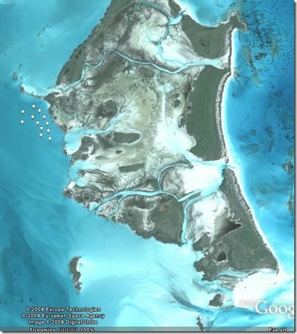
  You can see the stream clearly on Google
Earth
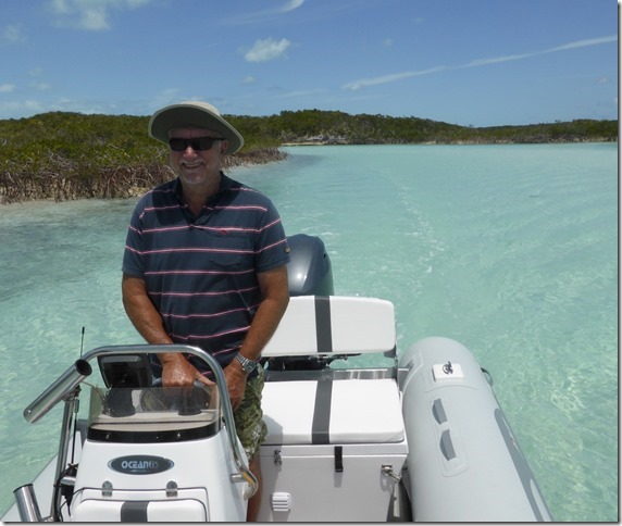
Mike enjoying the ride
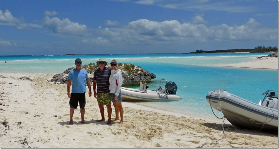
 We had great fun getting into the water on the ocean side and being pulled
through the cut (behind us in the pic) as the tide came in. Tidal flows
are a major player all over the banks, where narrow cuts allow massive amounts
in and out of the banks.
From Shroud we moved down to Waderick Wells, where the head office of the
park is located, and hoped to do some good exploring and snorkelling, but the
weather was not playing the game. We had lots of wind and a storm looming so had
to look for a more protected anchorage. With our draft, and the potential
for winds from SE to SW, up to 30knts, we decided to go south to Compass Cay,
which seemed to have a reasonably protected anchorage. We had a difficult
two days, with strong wind, wind against tidal stream and then the thunder and
lightning storm. We were unplugging everything in the yacht while
considering the truth of a microwave oven being an effective Faraday cage for
phones and tablets, but mostly just hoping that one of those massive blots
didn’t hit us. Not an easy night for anyone on board, but no damage.
And then the wind swung to the West, which is tricky on the Exuma Banks
with few westerly protected anchorages.
|