Great Sandy Strait

Lynn & Mike ..around the world
Mike Drinkrow & Lynn v/d Hoven
Sun 25 Oct 2015 20:10
|
25:32.41s 152:55.35e Great Sandy Strait
As the wind changed to North East, we decided not to stop at Pancake Creek
and continue through another night, heading down to the Great Sandy Strait. This
is a large area of very shallow water and many sandbanks, between the main land
and Fraser Island. Fraser Island is the largest sand island in the world at
1840sqkm (120km long). It was a major logging centre area, but now is mostly
national park, catering to the 4x4 and camping enthusiasts, where there are
miles and mile of tracks, most of which are on the beach, requiring low tide
driving.
Its not only the 4x4’s that need to watch the tide. Our first port of
call was the marina at Urangan, but we had to slow right down, bobbing around
until first light, so we could enter the channel and navigate to the marina. It
was a quick but pleasant stop. Some of our more sophisticated Australian friends
had warned us of the “Bogans” in Urangan , teasingly calling it
“Bougainville” A bogan being similar to a redneck. Well,
I have met some pretty nice rednecks in my life, and now I can say the same for
the bogans at Urangan – they could not have been more friendly.
We borrowed the UTE from the marina for a few hours and drove along the
coastal towns of Torquay, Scarness, Piabla and Mt Vernon. We were amazed
at how many houses there were out here, considering there is very little
industry except tourism and fishing. Again we were impressed by the facilities
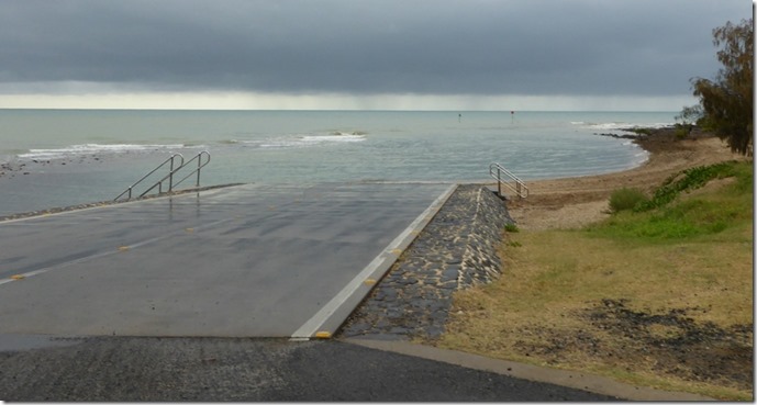
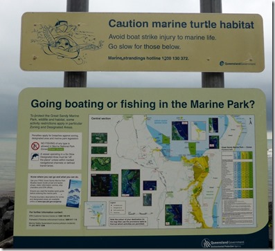
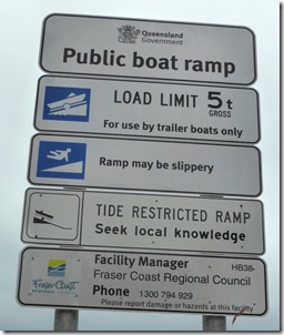
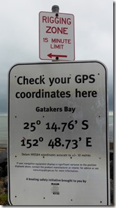
offered to the Australian recreational fisherman. Here is an example of a
stunning slipway, FREE, albeit with a lot of rules.
     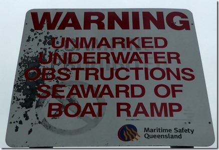 From Urangan we crossed over the flats to Kingfisher Bay, main gateway to
Fraser island. The car barge comes over 5 x a day, dropping off holiday makers.
Next morning we took the dinghy over to the jetty and had a pleasant walk around
the eco resort. There were more signs – some warning of aggressive wild dingo,
but we did not see any.
  Kingfisher
Barge
Long Jetty to accommodate the large tides (4m)
We had been fretting over our next passage. We had to get across the
skinniest part of the Great Sandy Straits, down towards the Wide Bar – entrance
to the ocean. This is a notorious stretch , with sand bars that are
continuously moving, and tides that enter the straits from both sides. Running
aground is a very real risk. The trick, is to ride the flood down to the
shallowest part, where the tides meet, and then ride the ebb tide down to
the other side – a trip of about 14nm. All good and well, except our High
tide was at 7pm – and you cant move through the shallows in the dark.
As luck would have it, Mike heard 3 motor yachts talking on the radio,
heading down at about 4pm. They knew the route and calculated that there would
be enough water to cross from mid-tide, and we joined their convoy. However,
quite soon into the route, the head boat warned us they we were not going to
make it. Their draft was 1.8m and they were nearly touching, and our draft is
2.1m. So we stopped, idling around waiting for more tide. Again we were lucky
when a heavy fishing boat (draft 2.3m) came along, and told us he had been doing
the passage for 20 years and we could tuck in behind him. And the slow crawl
began, weaving our way through the markers, sometimes seeing only 10cm under the
keel, but not once did we run aground. Thank you mv CARLO. Just as the sun was
setting, we made our way into Garry’s anchorage, for a well deserved rest.
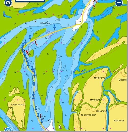 This chart shows only the most complicated path, through
middle, shallowest part, each peg represents a turn.
Tomorrow we have a new challenge – At first light we need to get 15nm down
the river, to arrive at the Wide Bay Bar in time for the high tide bar crossing.
However the forecast is good, and we don’t anticipate any problems.
|