Aotea Island - Great Barrier Island

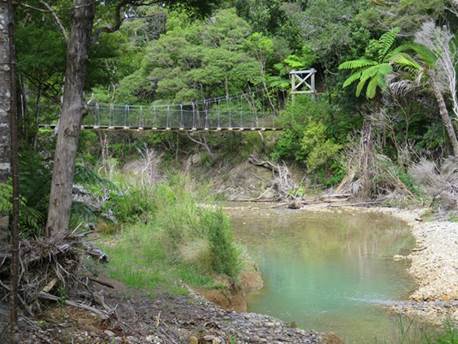
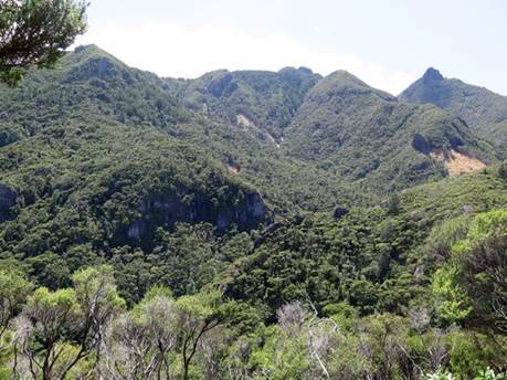
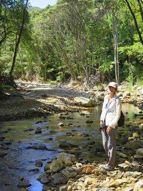
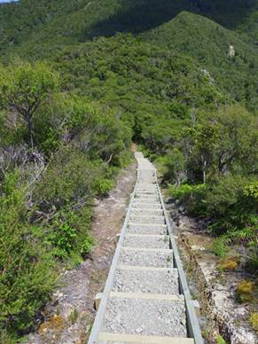
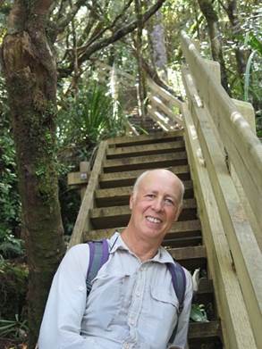
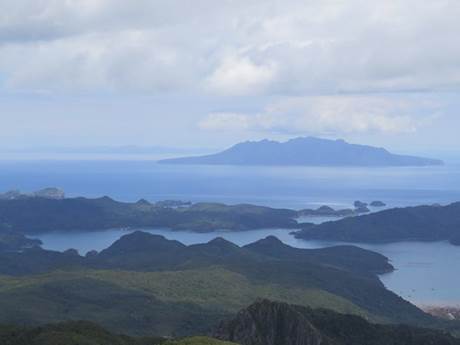
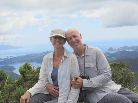
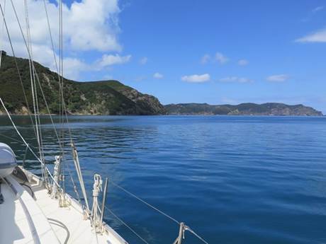
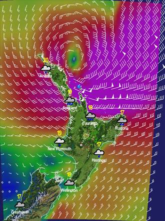
36:11.02S 175:21.78E After an enjoyable and very productive month at Marsden Cove Marina we were ready to slip our lines and set off for the highly recommended Great Barrier Island. With light headwinds it took all of Macushla’s white sails to make the 45 mile trip in order to arrive comfortably in daylight and it was great to be out sailing once more. This is a wonderful cruising area with dramatic and rugged scenery and anchorages which are stunningly beautiful with the flattest of water. The Department of Conservation (DOC) have established an excellent network of hiking trails here and we’ve been out exploring them on a daily basis. We were particularly keen to hike to the summit of Mount Hobson, the highest point of the island at 630 metres and knowing this to be an all-day affair, we set off in the morning armed with a picnic and plenty of water. Unfortunately a winter storm damaged some of the trails in 2014 and the section which leads to the Kauri dams remains closed, so we had to continue via a longer, alternative route. The hike took us through native bush, across wobbly suspension bridges and criss-crossed the river several times and, after hiking for about 3 hours, we found ourselves faced with 45 minutes of the ‘killer’ DOC vertical staircases. Deep joy! Our reward was another wonderful 360° panoramic view of the island and beyond, the beauty of which our photos simply cannot convey. Not long after arriving at The Barrier as it’s called by the locals, a long range weather forecast had Tropical Cyclone Winston heading straight for us. Friends at Gulf Harbour Radio and MetBob explained this was a typical summer scenario and that we should keep a close eye on things, but not to worry. As the forecast became more accurate the system tracked well to the north and east of us and calm was restored on the good ship Macushla. Hiking to Mount Hobson:
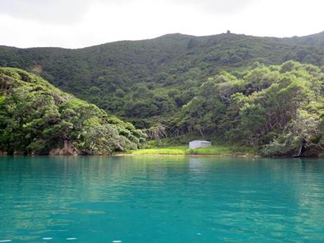
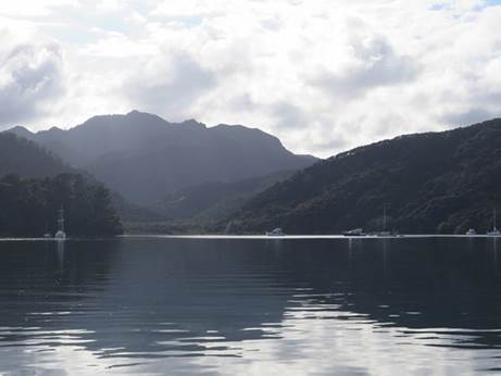
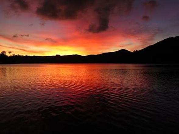
Beautiful anchorages:
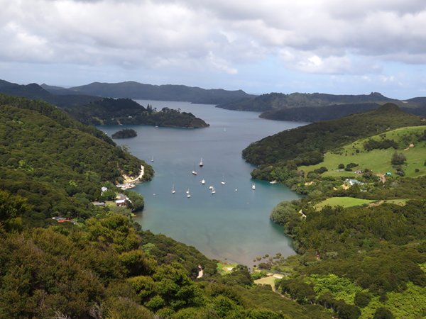
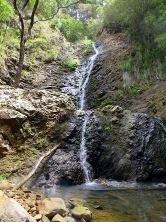
More hiking: At Lookout Rock and Warren’s Waterfall:
And that scary weather forecast:
|
