Mangonui, Far North

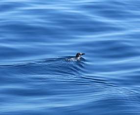
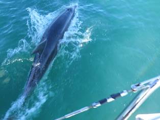
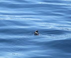
34:59.23S 173:32.27E With favourable wind and tide to take us further north and in need of fresh supplies, we raised anchor and left Whangaroa Harbour – with some reluctance it has to be said, as this had been the perfect place. However it was good to be sailing again and we were rewarded with the brief company of a large, bottle-nose dolphin and some of the tiny, blue penguins that frequent Northland. These are pretty difficult to capture on camera, but our persistence paid off and we got a few pics.
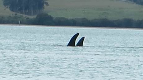
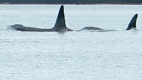
We timed our arrival to head in to Mangonui Harbour on a rising tide. Large areas of the harbour are very shallow indeed, so we needed to calculate the fall in tide to ensure we had enough water at Low Water Springs. We immediately liked the town of Mangonui with its attractive, buildings, friendly folk, its particularly handy Four Square Supermarket on stilts on the shore and the great pub. We took the opportunity to have a good re-stock and once that was done we set of exploring the place, having picked up a Heritage Trail Map at the Information Centre. The Heritage Trail is 3 km and consists of 22 heritage sites, many of which are along the waterfront. Back in circa 900 A.D. the Polynesian navigator Kupe visited the area in the canoe Mamaru. Later another canoe, the Ruakaramea, was guided in to the harbour by a shark. Its chief Moehuri named the harbour Mangonui which means ‘large shark’ (mango – large; nui – shark). We had been reading about this when, as if on cue, whilst getting in to the dinghy to return to Macushla, we spotted other large predators barely 50 metres from us – orcas or killer whales, easily identified by their distinctive dorsal fins; wow!
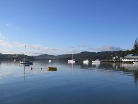
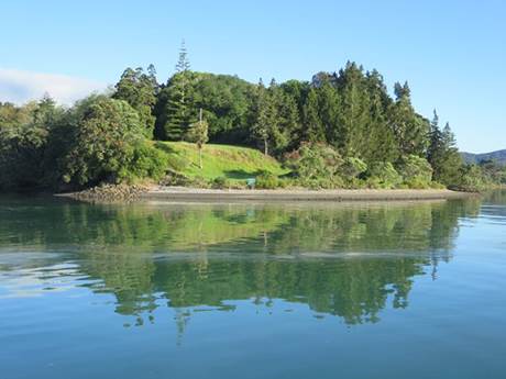
Morning views from the cockpit:
|
