Transiting the Panama Canal Day 2
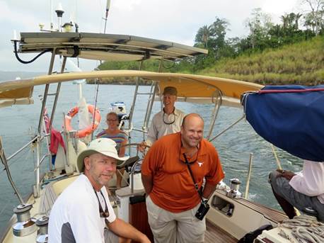
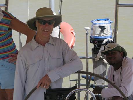
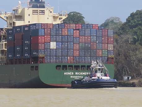
09:15.66N 79:54.17W We were up early and were joined at 06.30 by our adviser for Day 2, José Cespedes, and were soon on our way motoring across the Gatun Lake drinking our morning cups of coffee.
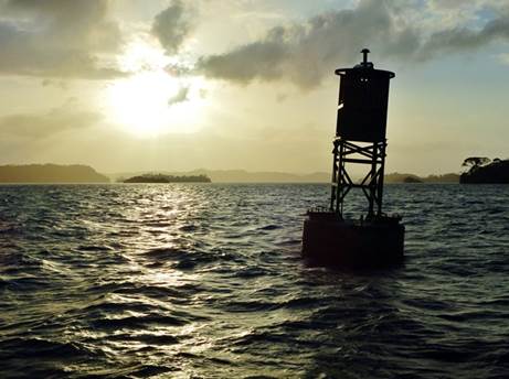
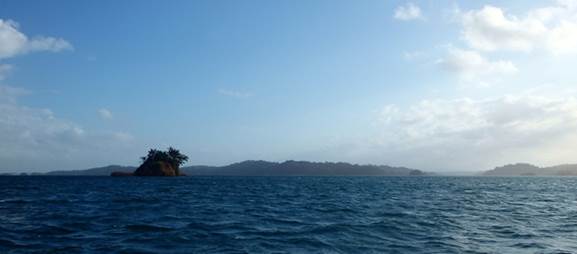
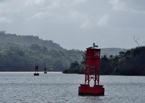
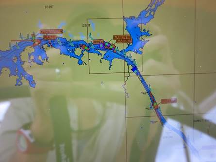
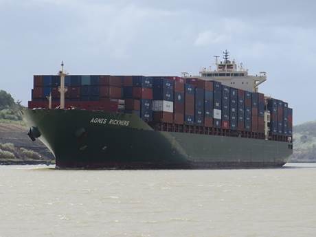
The Gatun Lake is a man-made lake extending across the Isthmus and covers 423 square kilometres. It was formed by erecting the Gatun Dam across the Chagres River and we had to motor the 20.4 nautical miles across the lake to enter the Gaillard Cut where the Chagres River flows into the channel at Gamboa. The Gaillard or Culebra Cut was carved through the rock and shale of the Continental Divide. During the Canal’s construction the narrow, winding stretch was called Culebra (snake in Spanish) because of its treacherous curves, but was later renamed after the engineer who was responsible for the section , Colonel David DuBose Gaillard. The bulk of the Canal excavation took place in the 7.4 nm cut and this section was and continues to be the Canal’s most susceptible area in terms of landslides. Originally only 92 metres wide, the Gaillard Cut had been widened several times to accommodate increasingly larger ships. It is being widened from 152 to 192 metres along straight sections and up to 222 metres in the curves.. This will enable two wide-beam Panamax vessels to transit simultaneously in either direction without compromising navigational safety, thus increasing the waterway’s capacity and reducing transit times.
|