Touring Bonaire
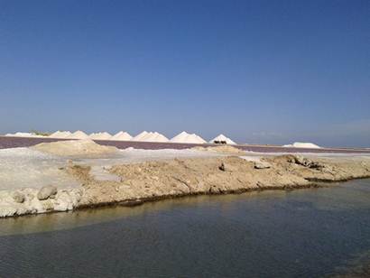
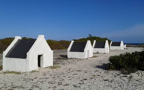
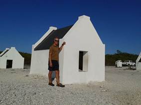
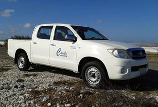
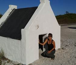
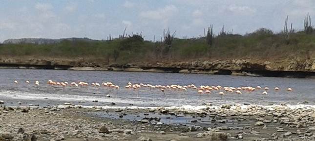
After so much diving and snorkelling, we decided it was time to explore overland and hired a ‘truck’ that would enable us to go in to the National Park. But first of all we headed to the flatter, southern peninsular where there are the island’s salt flats and associated industry, where large mounds of salt stood out against the blue sky. We also saw the former slave huts, built in 1850 to house slaves from the salt fields. On returning to Kralendijk we spotted (at last!) some flamingos for which Bonaire is famous. The Salt Industry and Former Slave Huts:
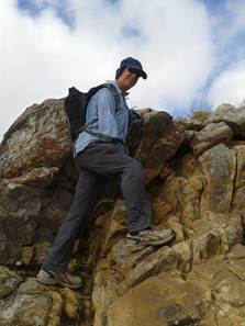
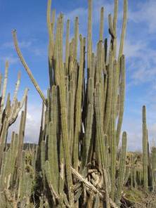
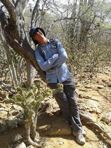
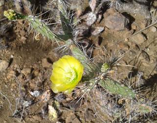
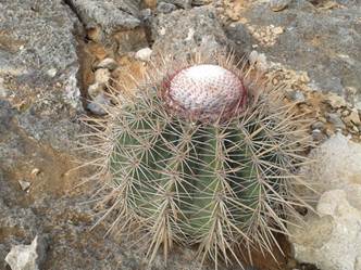
The next morning we were up early so that we could arrive at the Washington-Slagbaai National Park at the north of the island when it opened at 8 o’clock. This area is much more rugged and hilly with its cactus-strewn landscape and we set about hiking Subí Brandaris, the highest point on the island at 241m, which afforded great views. The cacti are pretty impressive and are testimony to the very arid climate for which we are really grateful. Being able to have the boat hatches open all the time makes a huge difference to the quality of life aboard thanks to the cooling Trade Winds.
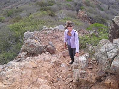
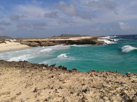
On our second day we hiked along the flat Lagadishi hiking trail and then drove back along the beautiful coastal track, spotting more flamingos in the salt pans. The dirt track roads of the National Park were such that we were very glad to have a rugged 4WD vehicle. Our trip back to Kralendijk took us through the village of Rincon, Bonaire’s oldest settlement. Originally a Spanish settlement, it became home to slave families who worked in the nearby plantations and salt fields in the south.
|