Tin Can Bay - Carlo Blow hole

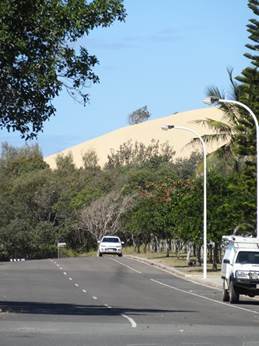
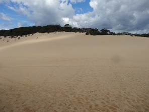
After the mayhem at Inskip Point we went to Cooloola Cove’s Rainbow Beach and walked up to the Carlo Sandblow (named after one of his crew, by you know who). The edge of a sand dune rising above the road.
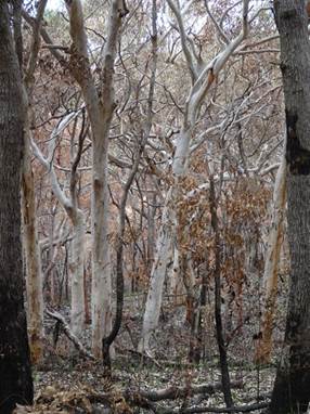
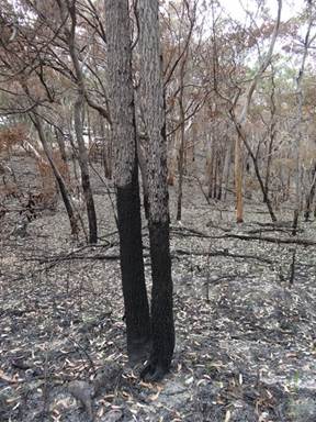
The walk up to the blow hole had been fired recently. Looks like Autumn with the brown leaves.
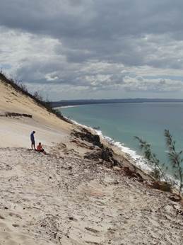
The top of the blow hole
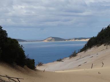
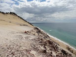
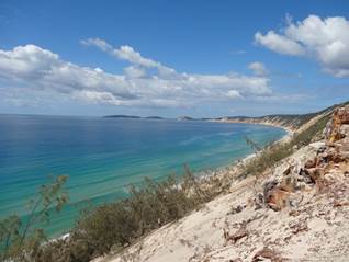
The headland you can make out in the distance is Double Island Point by you know who. Cook said that ‘it was so uneven that it looked like two small islands, laying under the land.
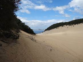
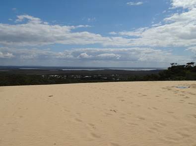
Looking the other way you can see the water of Tin Can Bay inlet.
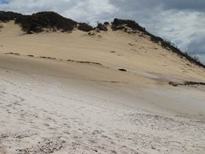
Strong onshore winds have broken through the vegetation, picked up sand grains and blown them inland. Plants will eventually colonise, and have colonised previous, dunes. The Carlo sand blow overlies older revegetated blows. Over time huge dunes have built up.
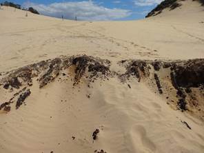
These grey stumps are of long buried trees – shows that the process of sand transport is long and slow. The steep leading edge of the sand blow will soon bury the trees in its path.
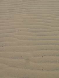
Wind blown ripples.
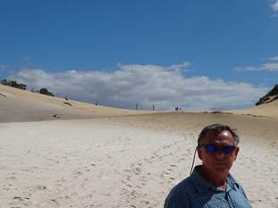
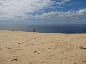
Paul standing near the steep edge of the sand dune.
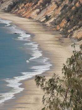
You can see the history of the land in these dunes. The stain here is called ‘coffee rock’ – organic material cemented with sand.
Sand blown inshore gradually builds up in volume to creep over the landscape and smother the plants beneath.
The coloured sand you can see here have been stained by organics in ancient soil profiles.
Fantastic views from the leading edge of the blow hole.
|
