Robe

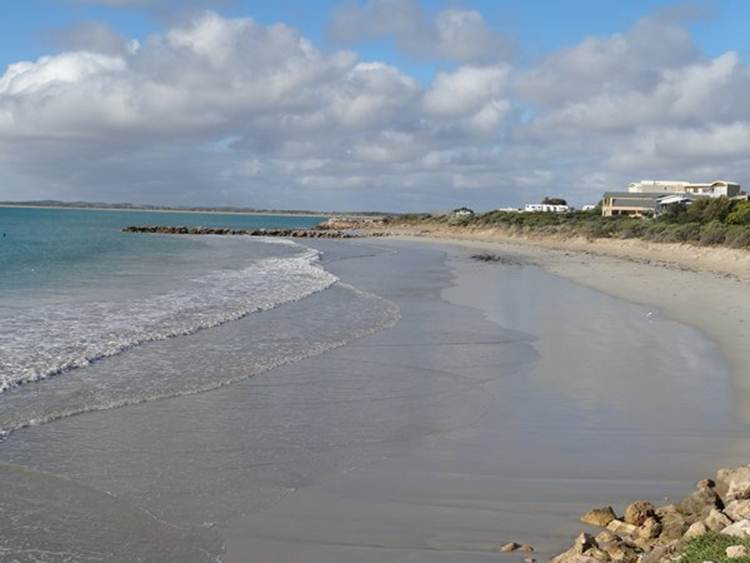
Position 37 09.76S 139 45.75E We are in the Sea Vu Caravan Park overlooking the sea. Brilliant. Also within walking distance of town and restaurants. Hooray. Robe is small one street town whose population swells by 12,000 during the summer. Sits on the edge of Guichen Bay. A lot of shops were closing down for the winter at the end of April, and staying closed for 5 months. Don’t know how they manage to do that. It is ANZAC Day on Thursday, 25th April so lots of people have taken one day off work and ended with a 4 day w/e. ANZAC Day is a bit like remembrance day, except they have a dawn service which commemorates the time of Australians landing Gallipoli in WWI. These days they remember the dead from all wars and peace keeping missions. Anyway we did the obligatory walk through the town and onto Cape Domey. This is view of the town beach – you can just see the caravan site on the promontory.
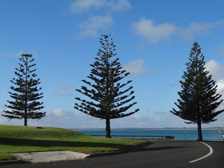
These are called Norfolk Pines (Araucaria heterophylla) endemic to Norfolk Island – which is a small island between Australia, New Zealand and New Caledonia. Great shapes.
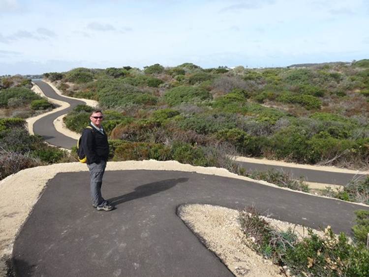
A port was developed in Robe but, as with other places along this coastline, lots of wrecks. Thirty wrecks occurred in Guichen Bay in 1853 alone. Between 1857 and 1863, over 17,000 Chinese entered Australia via Robe and then travelled 200 miles to the gold field in Victoria. We read about this in the Chinese Museum in Melbourne but I’d forgotten about it. In Victoria, the locals not happy about the Chinese digging for gold, so they imposed a landing tax on them. The Chinese circumnavigated the tax by sailing to South Australia and then travelling overland to Victoria. This footpath goes from Robe, through a small mangrove via a board walk and then over the limestone cliffs to Cape Domey. Great because you can use wheelchairs and pushchairs, as well as bikes and walk.
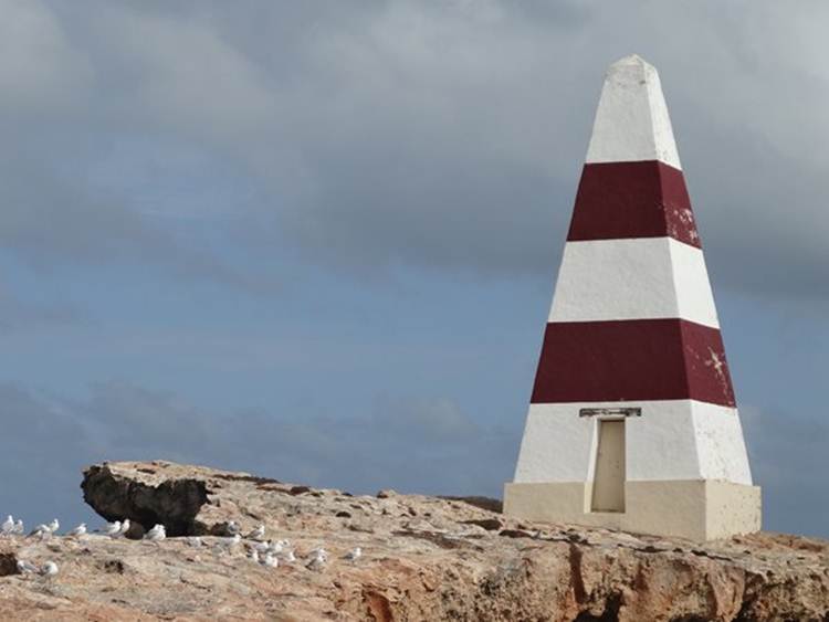
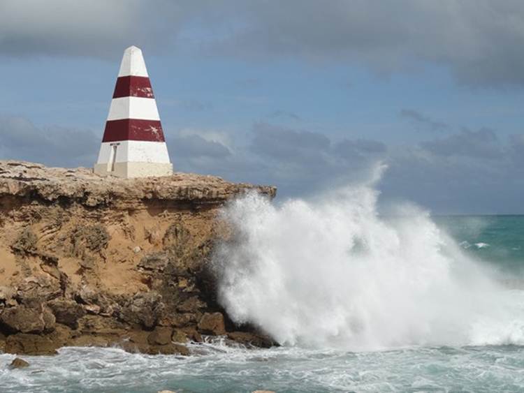
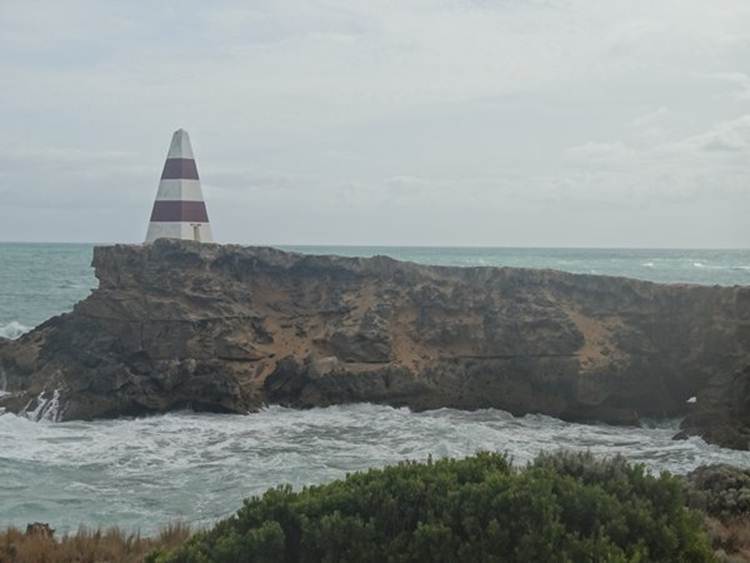
The Obelisk on the Point of Cape Domey.
Built in 1855 for a cost of $460. Originally painted white, it blended in with local sand hills and limestone coast and was difficult to distinguish. Eventually in 1862 it was repainted alternate red and white stripes. It was used to store rockets which were fired to distressed ships and carried life lines and baskets for bringing passengers ashore.
The Obelisk is 40 feet tall and stands on a cliff 100 ft. above sea level.
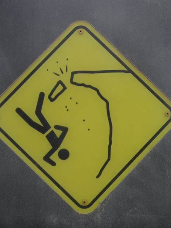
No longer accessible because:
Not only could you fall over the cliff, presume the real reason you can’t walk around the monument is because an arch has stated to form and it could collapse. You can just make the arch out – the little blob of light in the RHS of the picture near the water line.
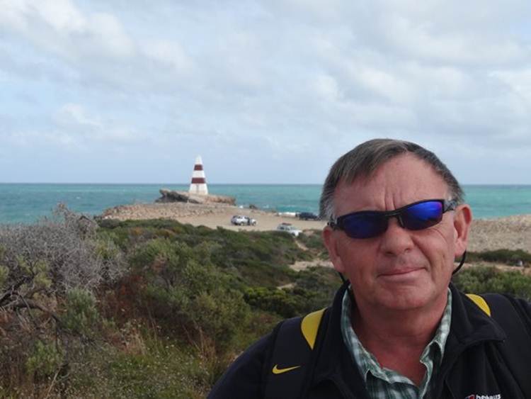
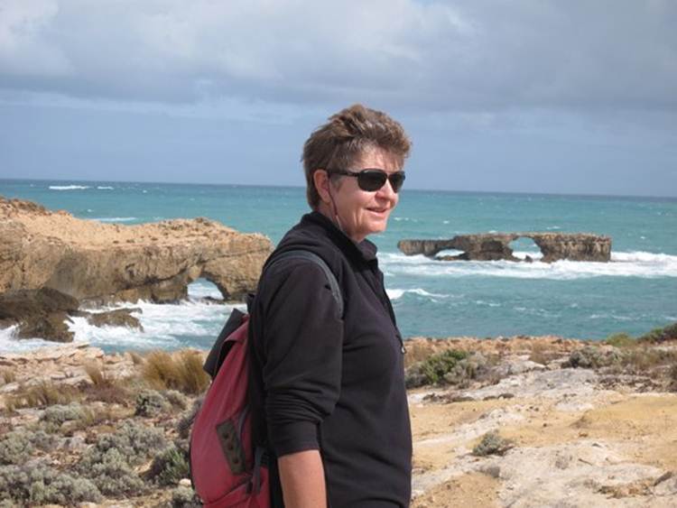
Robe is on a part of the coastline called the Limestone Coast. You can see the eroded archways behind me.
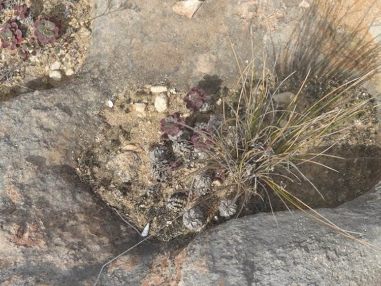
The limestone is dissolved by the rain and leaves small hollow pockets. These fill with sand and become colonised by small plants – gardens in miniature.
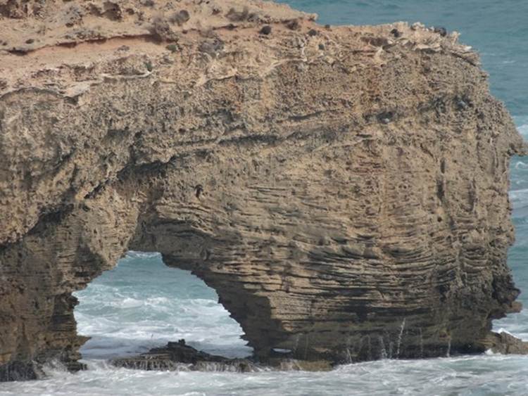
Some nicely eroded bedding planes. Arches undermining the cliff.
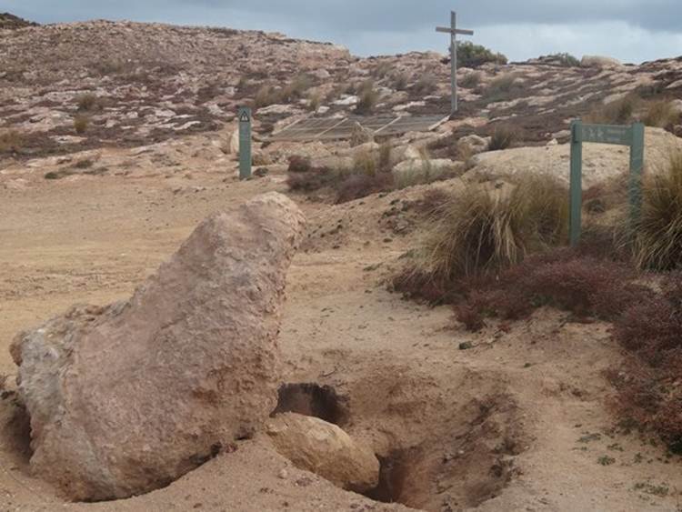
The metal grate covers a blow hole about 10m from the cliff edge. Actively eroding into the limestone the cave extends further back as the large stone in the bottom of the picture was placed over another hole. The footpath runs straight over this lot.
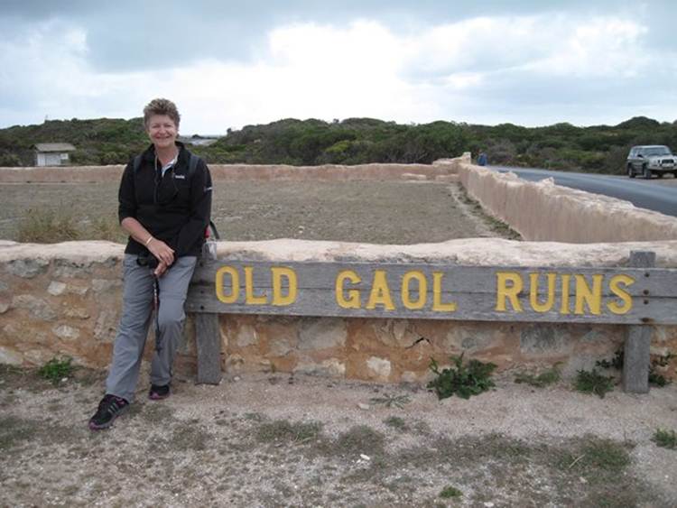
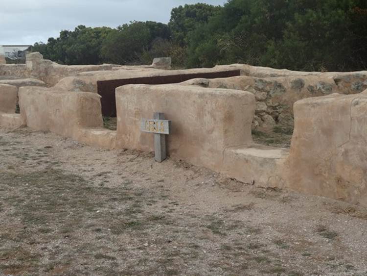
This is the old goal.
Around here lot of the buildings are limestone so have survived quite well – ok so this one hasn’t. These cells are bigger than our caravan! A bit of shoddy workmanship went into the original build. You just can’t get good workmanship can you. Two prisoners were able to pick their way through the walls using a hook made from one of the window fastening. They were caught and the walls were subsequently reinforced with boiler plates salvaged from the wreck of the Admella.
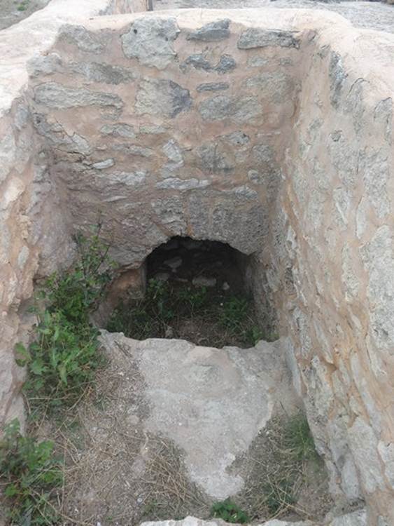
The dunny.
|
