Coober Pedy - The Breakaways
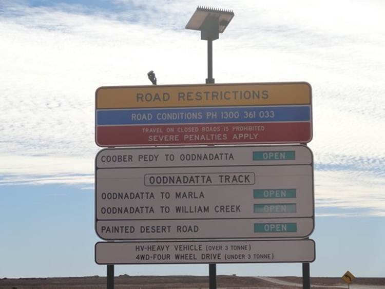
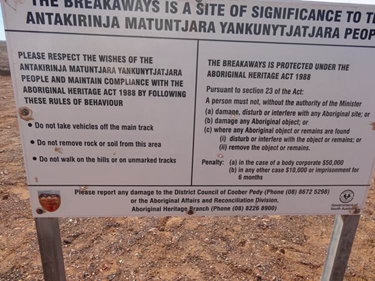
Drove off road to The Breakaways Reserve, a set of mesa’s to the north (ish) of Coober Pedy. You have to go along part of the Oonadatta Track to get there. All the main off-road tracks have signs like this. Roads are generally closed after rain because they turn into a skating ring.
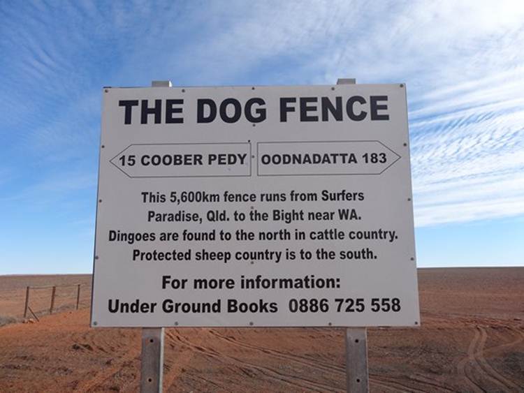
We passed that Dog Fence
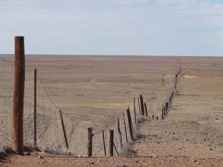
Here’s a nice shot of the fence:
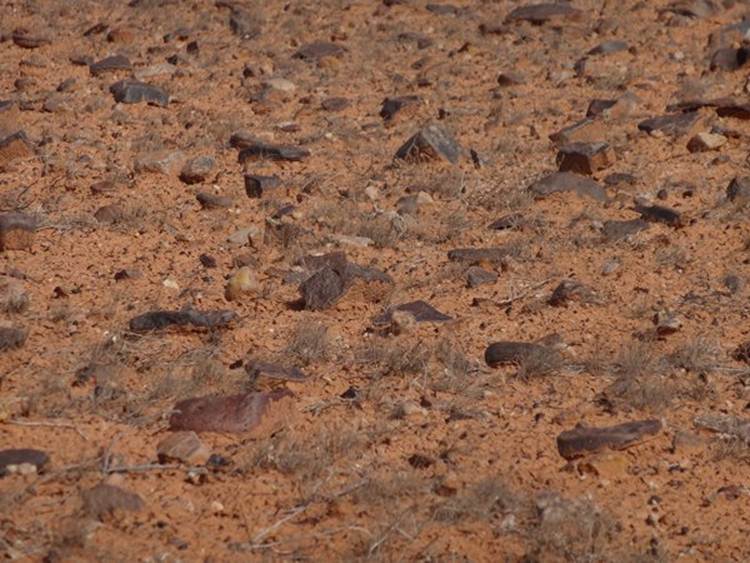
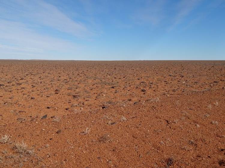
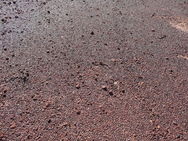
You may have noticed that it all looks a bit rocky. If you look on the other side of the fence you see these rocks.
It looks a bit like the moon and has been nicknamed the Moon Plain.
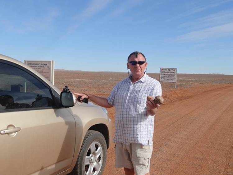
Here’s Paul holding a moon rock!
Entering the Breakaways Reserve. We had to buy a permit to drive here, $2.20 each.
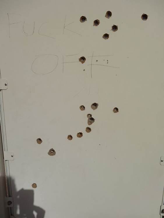
Firing practice.
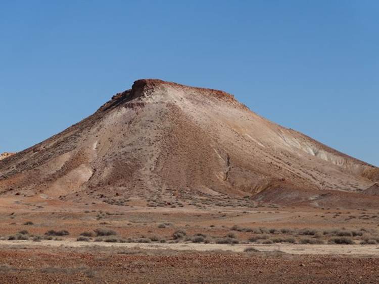
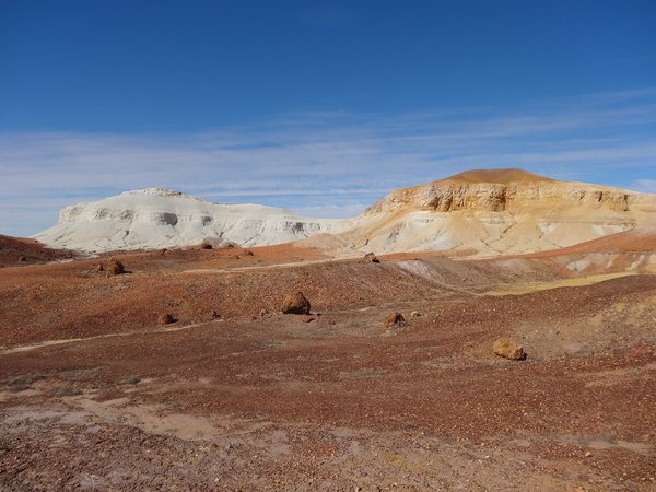
A huge area around Coober Pedy encompassing the plains, mesa and Stuart Ranges are all remnants of ancient sea. Over 70 million years ago the area was covered by an inland sea, sedimentary rocks (sandstone) were deposited. At some stage the sea dried out. Millions of years of heavy rainfall worked on the sandstone. Seeping down though the rock to great depths, it broke rock down, so the land around Coober Pedy was no longer sandstone but a softer claystone. Some of the silica laden water, moved down through the claystone, reached small voids and cracks. Later, 25 million years ago, there was a period of very high temperatures and rapid water evaporation. As the water evaporated, the silica became opal within the rocks. Some silica dissolved in water was drawn upwards and deposited at the surface. The silica bonded to the surface claystone, literally cementing it together, to form a thick tough resilient crust called silcrete. The entire former seabed, with its protective layer of silcrete, was later uplifted to form a huge flat tableland. When you get uplift you get lots of cracks in the rock and so erosion occurs along those lines of weakness. Rain and rivers continued to erode the old seabed. Once the hard silcrete layer at the surface was eroded, the lower softer sediment was easily removed. Over time the entire massive plateau was eroded and the surface lowered leaving behind small areas still capped with silcrete - the mesas and ridges of the Breakaways.
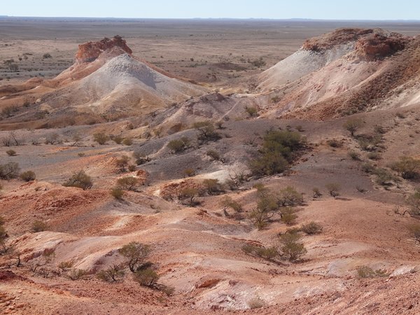
You can picture this as huge river valley.
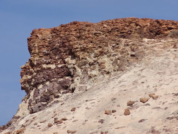
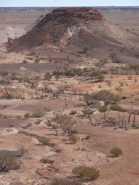
You can see the protective hard silcrete capping that protects the mesa with steep, sloping escarpments of silcrete scree.
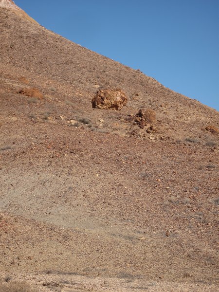
Silcrete boulders rolled down from the mesa top.
Erosion of the softer claystone undercuts the hard silcrete
The silcrete capping crumbles and eventually the mesa erodes. To aboriginals these are the two dogs sitting down – a brown and white one. To Europeans they are salt and pepper. Great example of weathering at two rates. The whiter is the claystone, the silcrete having totally eroded.
Paul standing on the eroded claystone
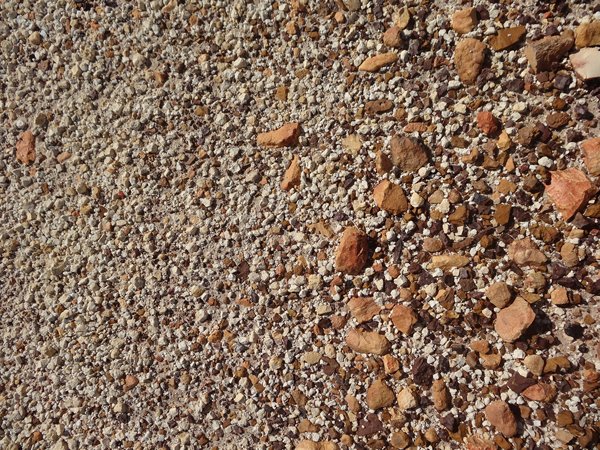
The surface silcrete rocks, called gibbers, broken off and then fragmented by weathering form vast carpets of stones, known as the Gibber Plains. The area is also famous because the Breakaways have been backdrop to lots of films including Mad Max.
You have a whole range of sizes. This photo is from the base of one of the mesas, the white is the claystone and the red the silcrete.
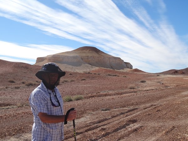
If you get the light right the patches of small stones look like pools of water.
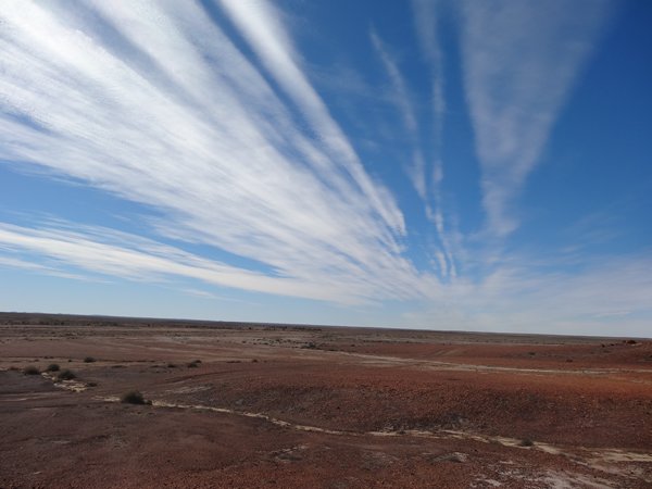
Paul and a beautiful sky.
The Stuart Ranges are the one area the old seabed still stands. Coober Pedy lies on the edge of the Stuart Ranges which form a high plateau standing between the lower plains to the east and west. Here Paul is standing on the top of plateau which is remnant of the old seabed.
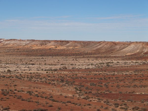
The road winds up onto an escarpment from which you can view the plains below. Vegetation clusters where rainwater seeps and flows down hillsides. You get lichen and large shrubs on the cooler south facing slopes, while the northern slopes are usually bare.
Ribbons of vegetation follow the water run-off channels from the hills.
The ruddy grey patches are stone patches.
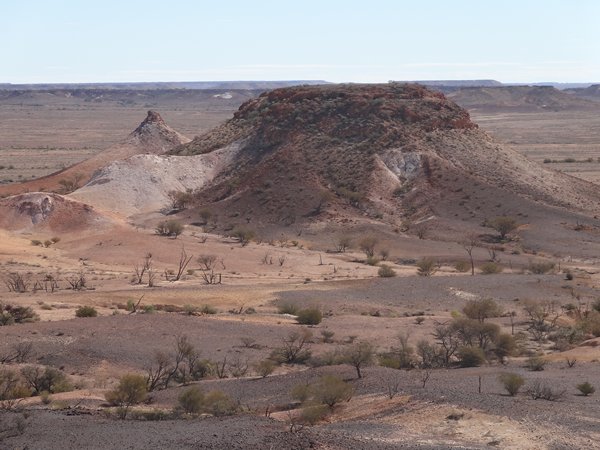
Just a nice shot of little and large mesa.
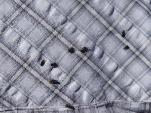
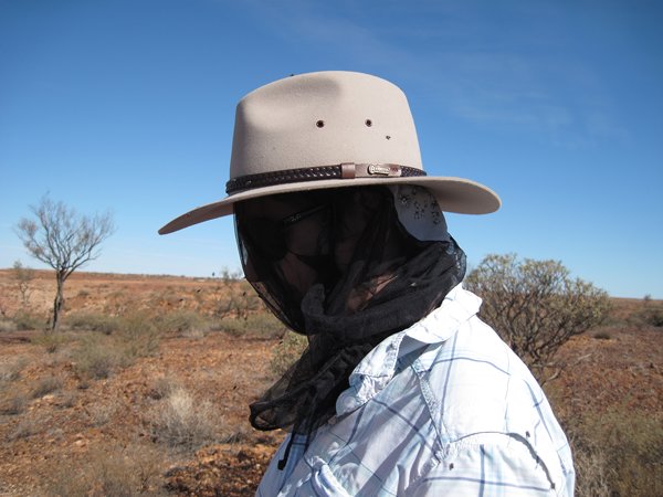
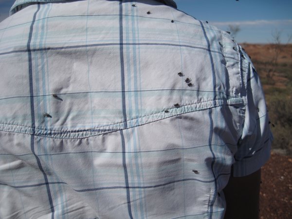
Have I mentioned the flies yet? |